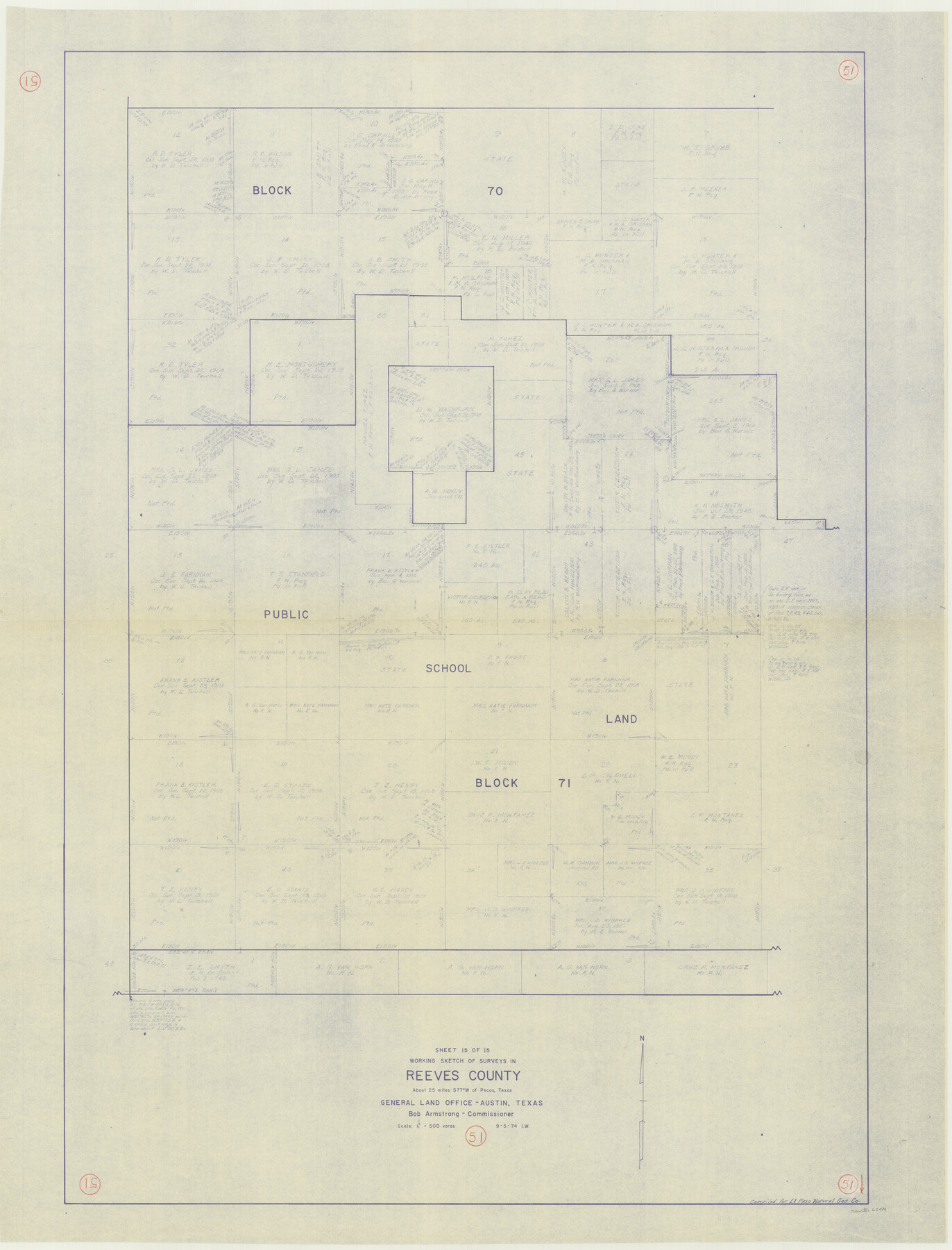
Reeves County Working Sketch 51
-
Map/Doc
63494
-
Collection
General Map Collection
-
Object Dates
9/5/1974 (Creation Date)
-
Counties
Reeves
-
Subjects
Surveying Working Sketch
-
Height x Width
45.4 x 34.6 inches
115.3 x 87.9 cm
-
Scale
1" = 500 varas
Part of: General Map Collection
Flight Mission No. DQO-14T, Frame 65, Galveston County

Print $20.00
- Digital $50.00
Flight Mission No. DQO-14T, Frame 65, Galveston County
1958
Size 17.6 x 17.4 inches
Map/Doc 85216
Gaines County Sketch File 25

Print $4.00
- Digital $50.00
Gaines County Sketch File 25
2002
Size 11.0 x 8.5 inches
Map/Doc 82618
Galveston County NRC Article 33.136 Sketch 72

Print $78.00
- Digital $50.00
Galveston County NRC Article 33.136 Sketch 72
2013
Size 24.0 x 36.0 inches
Map/Doc 95081
Hartley County Sketch File 15

Print $20.00
- Digital $50.00
Hartley County Sketch File 15
Size 31.2 x 16.6 inches
Map/Doc 11737
Victoria County Boundary File 91

Print $12.00
- Digital $50.00
Victoria County Boundary File 91
Size 8.9 x 6.5 inches
Map/Doc 59620
Flight Mission No. DAG-17K, Frame 76, Matagorda County

Print $20.00
- Digital $50.00
Flight Mission No. DAG-17K, Frame 76, Matagorda County
1952
Size 16.6 x 16.6 inches
Map/Doc 86335
Polk County Sketch File 32

Print $8.00
- Digital $50.00
Polk County Sketch File 32
1887
Size 12.8 x 8.0 inches
Map/Doc 34226
Hardin County Sketch File 33

Print $20.00
- Digital $50.00
Hardin County Sketch File 33
Size 25.4 x 35.4 inches
Map/Doc 11632
Flight Mission No. BRA-16M, Frame 143, Jefferson County

Print $20.00
- Digital $50.00
Flight Mission No. BRA-16M, Frame 143, Jefferson County
1953
Size 18.5 x 22.2 inches
Map/Doc 85749
Shackelford County Working Sketch 15

Print $20.00
- Digital $50.00
Shackelford County Working Sketch 15
2012
Size 28.4 x 20.7 inches
Map/Doc 93321
Stonewall County Sketch File 27

Print $8.00
- Digital $50.00
Stonewall County Sketch File 27
1955
Size 10.9 x 7.2 inches
Map/Doc 37296
Kerr County Sketch File 20

Print $22.00
- Digital $50.00
Kerr County Sketch File 20
1951
Size 12.9 x 18.3 inches
Map/Doc 28890
You may also like
Val Verde County Sketch File 45

Print $20.00
- Digital $50.00
Val Verde County Sketch File 45
1938
Size 21.3 x 16.5 inches
Map/Doc 12586
Flight Mission No. DQO-3K, Frame 34, Galveston County

Print $20.00
- Digital $50.00
Flight Mission No. DQO-3K, Frame 34, Galveston County
1952
Size 18.7 x 22.4 inches
Map/Doc 85075
Borden County Sketch File 6

Print $8.00
- Digital $50.00
Borden County Sketch File 6
1900
Size 11.2 x 8.7 inches
Map/Doc 14719
Rusk County Rolled Sketch 8

Print $20.00
- Digital $50.00
Rusk County Rolled Sketch 8
1959
Size 22.6 x 26.3 inches
Map/Doc 7544
Knox County Rolled Sketch 23

Print $20.00
- Digital $50.00
Knox County Rolled Sketch 23
1989
Size 34.4 x 29.0 inches
Map/Doc 76408
Geological Map of the United States and the British Provinces of North America

Print $20.00
- Digital $50.00
Geological Map of the United States and the British Provinces of North America
Size 23.4 x 35.9 inches
Map/Doc 93988
The Mexican Municipality of San Augustine. Created March 6, 1834

Print $20.00
The Mexican Municipality of San Augustine. Created March 6, 1834
2020
Size 24.1 x 21.7 inches
Map/Doc 96032
Midland County Boundary File 2

Print $24.00
- Digital $50.00
Midland County Boundary File 2
Size 8.9 x 5.5 inches
Map/Doc 57162
Brewster County Sketch File N-5

Print $6.00
- Digital $50.00
Brewster County Sketch File N-5
Size 12.9 x 8.6 inches
Map/Doc 15605
Upton County Rolled Sketch 2

Print $20.00
- Digital $50.00
Upton County Rolled Sketch 2
1884
Size 26.2 x 36.1 inches
Map/Doc 8065
Pecos County Sketch File 114

Print $18.00
- Digital $50.00
Pecos County Sketch File 114
1912
Size 13.3 x 8.9 inches
Map/Doc 34074
Foard County Aerial Photograph Index Sheet 3

Print $20.00
- Digital $50.00
Foard County Aerial Photograph Index Sheet 3
1950
Size 20.3 x 18.9 inches
Map/Doc 83690