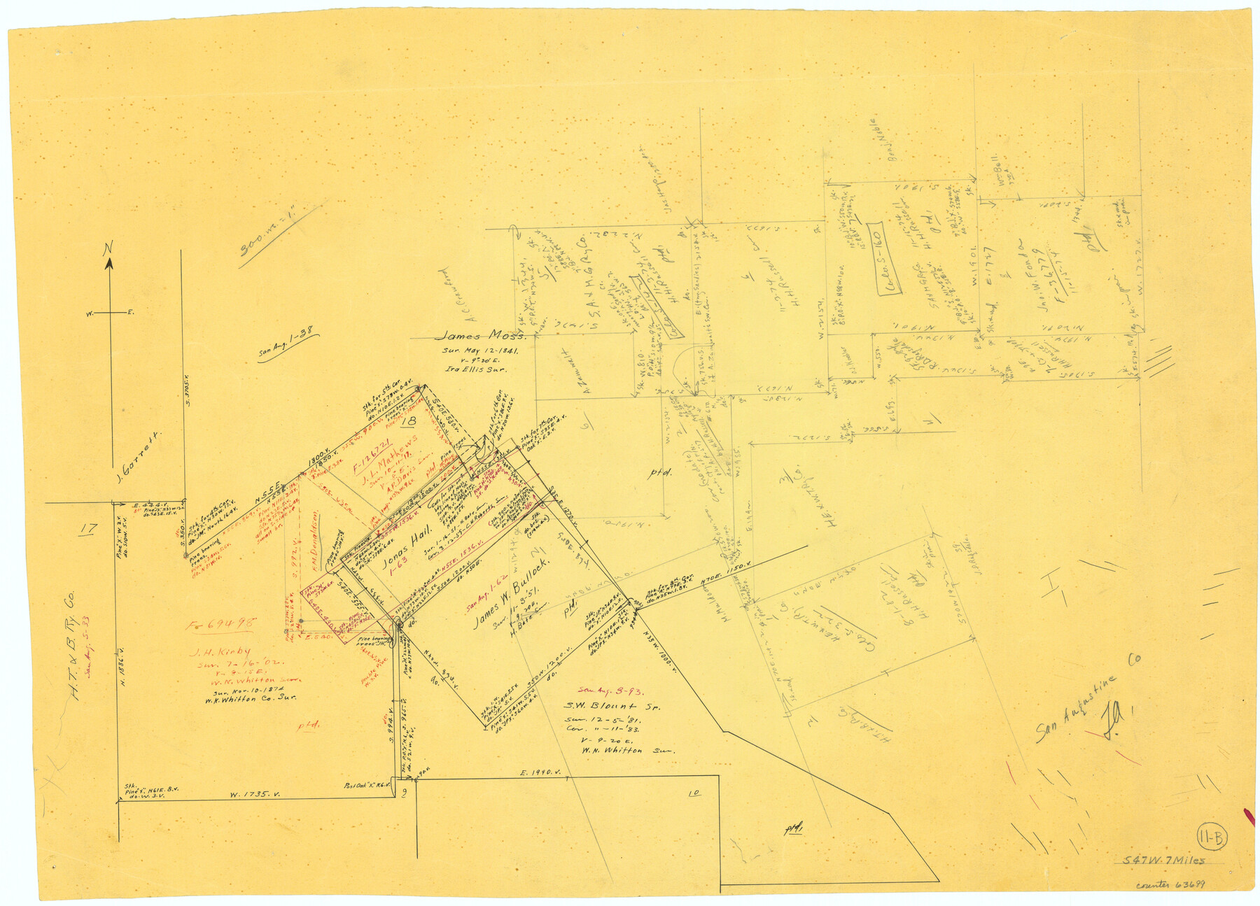
San Augustine County Working Sketch 11b
-
Map/Doc
63699
-
Collection
General Map Collection
-
Counties
San Augustine
-
Subjects
Surveying Working Sketch
-
Height x Width
18.9 x 26.3 inches
48.0 x 66.8 cm
-
Comments
Reverse side has Hamilton County Working Sketch 35, counter No. 78286.
Part of: General Map Collection
El Paso County Boundary File 25

Print $10.00
- Digital $50.00
El Paso County Boundary File 25
Size 13.0 x 8.9 inches
Map/Doc 53226
Guadalupe County Sketch File 25

Print $22.00
- Digital $50.00
Guadalupe County Sketch File 25
Size 12.7 x 15.7 inches
Map/Doc 24717
Palo Pinto County Working Sketch 1

Print $20.00
- Digital $50.00
Palo Pinto County Working Sketch 1
1903
Size 19.0 x 14.6 inches
Map/Doc 71384
Flight Mission No. BRE-1P, Frame 136, Nueces County

Print $20.00
- Digital $50.00
Flight Mission No. BRE-1P, Frame 136, Nueces County
1956
Size 18.7 x 22.7 inches
Map/Doc 86696
Flight Mission No. CGI-1N, Frame 178, Cameron County

Print $20.00
- Digital $50.00
Flight Mission No. CGI-1N, Frame 178, Cameron County
1955
Size 18.6 x 22.3 inches
Map/Doc 84513
Nueces County Rolled Sketch 27A

Print $40.00
- Digital $50.00
Nueces County Rolled Sketch 27A
1946
Size 12.4 x 121.3 inches
Map/Doc 9597
Val Verde County Working Sketch 106

Print $20.00
- Digital $50.00
Val Verde County Working Sketch 106
1984
Size 30.4 x 40.8 inches
Map/Doc 72241
Hill County Sketch File 21a

Print $4.00
- Digital $50.00
Hill County Sketch File 21a
1887
Size 10.8 x 8.4 inches
Map/Doc 26503
Burnet County Sketch File 4

Print $4.00
- Digital $50.00
Burnet County Sketch File 4
1860
Size 8.2 x 7.9 inches
Map/Doc 16676
Flight Mission No. DCL-7C, Frame 134, Kenedy County

Print $20.00
- Digital $50.00
Flight Mission No. DCL-7C, Frame 134, Kenedy County
1943
Size 18.5 x 22.3 inches
Map/Doc 86091
Photo Index of Texas Coast - Sheet 4 of 6

Print $20.00
- Digital $50.00
Photo Index of Texas Coast - Sheet 4 of 6
1954
Size 20.0 x 24.0 inches
Map/Doc 83442
Pecos County Rolled Sketch 83

Print $20.00
- Digital $50.00
Pecos County Rolled Sketch 83
1931
Size 17.6 x 26.2 inches
Map/Doc 7242
You may also like
Uvalde County Working Sketch 5

Print $20.00
- Digital $50.00
Uvalde County Working Sketch 5
1927
Size 13.4 x 18.0 inches
Map/Doc 72075
Reagan County

Print $40.00
- Digital $50.00
Reagan County
1915
Size 51.6 x 38.6 inches
Map/Doc 73340
[Area around John P. Rohus Survey]
![91913, [Area around John P. Rohus Survey], Twichell Survey Records](https://historictexasmaps.com/wmedia_w700/maps/91913-1.tif.jpg)
Print $20.00
- Digital $50.00
[Area around John P. Rohus Survey]
Size 19.7 x 19.7 inches
Map/Doc 91913
Victoria County Rolled Sketch 9

Print $20.00
- Digital $50.00
Victoria County Rolled Sketch 9
Size 24.1 x 36.1 inches
Map/Doc 95400
[Morris County School Land and vicinity]
![90360, [Morris County School Land and vicinity], Twichell Survey Records](https://historictexasmaps.com/wmedia_w700/maps/90360-1.tif.jpg)
Print $20.00
- Digital $50.00
[Morris County School Land and vicinity]
Size 14.2 x 13.0 inches
Map/Doc 90360
Waller County Sketch File 12

Print $6.00
- Digital $50.00
Waller County Sketch File 12
1928
Size 7.6 x 8.8 inches
Map/Doc 39616
Menard County Working Sketch 3

Print $20.00
- Digital $50.00
Menard County Working Sketch 3
1913
Size 15.2 x 13.2 inches
Map/Doc 70950
Crockett County Sketch File 59

Print $8.00
- Digital $50.00
Crockett County Sketch File 59
1924
Size 14.1 x 8.8 inches
Map/Doc 19833
Sterling County Sketch File 17x

Print $4.00
- Digital $50.00
Sterling County Sketch File 17x
Size 9.0 x 13.7 inches
Map/Doc 37165
[Block O1, Godair]
![90565, [Block O1, Godair], Twichell Survey Records](https://historictexasmaps.com/wmedia_w700/maps/90565-1.tif.jpg)
Print $20.00
- Digital $50.00
[Block O1, Godair]
Size 22.6 x 17.7 inches
Map/Doc 90565
[Drawings of individual counties for Pressler and Langermann's 1879 Map of Texas]
![2140, [Drawings of individual counties for Pressler and Langermann's 1879 Map of Texas], General Map Collection](https://historictexasmaps.com/wmedia_w700/maps/2140-1.tif.jpg)
Print $20.00
- Digital $50.00
[Drawings of individual counties for Pressler and Langermann's 1879 Map of Texas]
1878
Size 28.5 x 42.0 inches
Map/Doc 2140
Leila Y. Post Montgomery & Marjorie Post Hutton's Subdivision of Hall County School Land Leagues 158-159-N 1/2 157, Cochran County, Texas

Print $20.00
- Digital $50.00
Leila Y. Post Montgomery & Marjorie Post Hutton's Subdivision of Hall County School Land Leagues 158-159-N 1/2 157, Cochran County, Texas
Size 8.4 x 18.4 inches
Map/Doc 90456