[Morris County School Land and vicinity]
54-41
-
Map/Doc
90360
-
Collection
Twichell Survey Records
-
Counties
Crosby
-
Height x Width
14.2 x 13.0 inches
36.1 x 33.0 cm
Part of: Twichell Survey Records
[Sketch of part of G. & M. Block 5, G. & M. Block 4, Block M19 and Block 21W]
![93092, [Sketch of part of G. & M. Block 5, G. & M. Block 4, Block M19 and Block 21W], Twichell Survey Records](https://historictexasmaps.com/wmedia_w700/maps/93092-1.tif.jpg)
![93092, [Sketch of part of G. & M. Block 5, G. & M. Block 4, Block M19 and Block 21W], Twichell Survey Records](https://historictexasmaps.com/wmedia_w700/maps/93092-1.tif.jpg)
Print $20.00
- Digital $50.00
[Sketch of part of G. & M. Block 5, G. & M. Block 4, Block M19 and Block 21W]
Size 22.6 x 17.7 inches
Map/Doc 93092
New Hobbs Addition Lea County, New Mexico
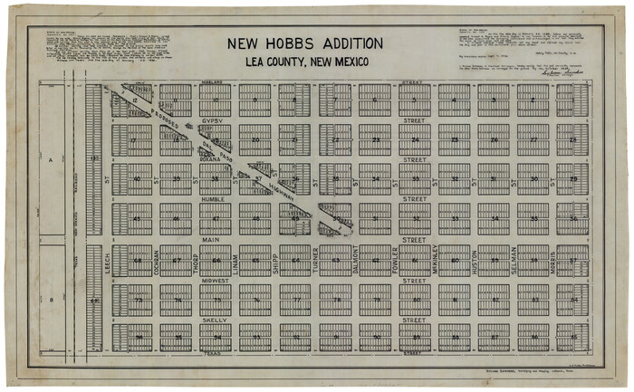

Print $20.00
- Digital $50.00
New Hobbs Addition Lea County, New Mexico
1930
Size 30.6 x 18.9 inches
Map/Doc 92425
John H. Stephens Block S2, State Capitol Leagues


Print $20.00
- Digital $50.00
John H. Stephens Block S2, State Capitol Leagues
Size 28.6 x 23.2 inches
Map/Doc 92995
[Capitol Leagues 572 & 573, T. A. Thomson Blk. T4, part of D. S. & E. Blk. O4]
![90402, [Capitol Leagues 572 & 573, T. A. Thomson Blk. T4, part of D. S. & E. Blk. O4], Twichell Survey Records](https://historictexasmaps.com/wmedia_w700/maps/90402-1.tif.jpg)
![90402, [Capitol Leagues 572 & 573, T. A. Thomson Blk. T4, part of D. S. & E. Blk. O4], Twichell Survey Records](https://historictexasmaps.com/wmedia_w700/maps/90402-1.tif.jpg)
Print $20.00
- Digital $50.00
[Capitol Leagues 572 & 573, T. A. Thomson Blk. T4, part of D. S. & E. Blk. O4]
Size 21.8 x 16.7 inches
Map/Doc 90402
[Capitol Leagues 661-729]
![92979, [Capitol Leagues 661-729], Twichell Survey Records](https://historictexasmaps.com/wmedia_w700/maps/92979-1.tif.jpg)
![92979, [Capitol Leagues 661-729], Twichell Survey Records](https://historictexasmaps.com/wmedia_w700/maps/92979-1.tif.jpg)
Print $20.00
- Digital $50.00
[Capitol Leagues 661-729]
Size 24.2 x 24.9 inches
Map/Doc 92979
Deaf Smith County
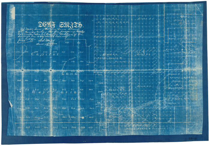

Print $20.00
- Digital $50.00
Deaf Smith County
1888
Size 28.7 x 19.8 inches
Map/Doc 90598
Subdivision of Sutton County School League 175, Bailey County, Texas
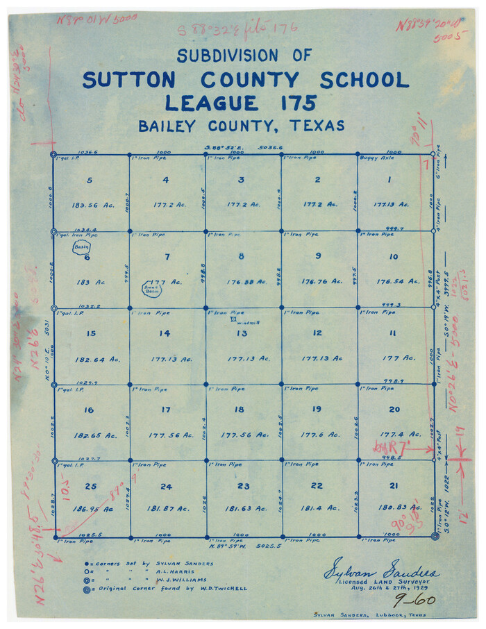

Print $2.00
- Digital $50.00
Subdivision of Sutton County School League 175, Bailey County, Texas
1929
Size 8.9 x 11.5 inches
Map/Doc 90201
Counties of Martin, Dawson, Borden, and Howard, Texas Soash Lands, Big Springs Ranch


Print $20.00
- Digital $50.00
Counties of Martin, Dawson, Borden, and Howard, Texas Soash Lands, Big Springs Ranch
Size 35.3 x 39.0 inches
Map/Doc 91224
[Blocks D3 and GP]
![91506, [Blocks D3 and GP], Twichell Survey Records](https://historictexasmaps.com/wmedia_w700/maps/91506-1.tif.jpg)
![91506, [Blocks D3 and GP], Twichell Survey Records](https://historictexasmaps.com/wmedia_w700/maps/91506-1.tif.jpg)
Print $20.00
- Digital $50.00
[Blocks D3 and GP]
Size 18.2 x 19.3 inches
Map/Doc 91506
Plainview, Texas
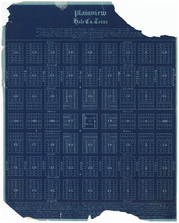

Print $20.00
- Digital $50.00
Plainview, Texas
1905
Size 24.8 x 30.8 inches
Map/Doc 90716
George M. Boles' Ranch Lands
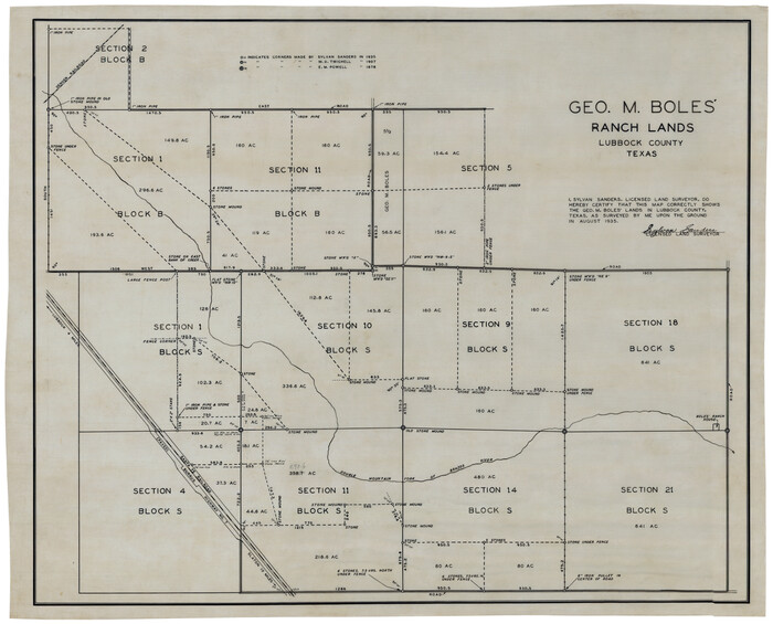

Print $20.00
- Digital $50.00
George M. Boles' Ranch Lands
1935
Size 31.0 x 24.9 inches
Map/Doc 92862
[Map of Counties south of Panhandle]
![92960, [Map of Counties south of Panhandle], Twichell Survey Records](https://historictexasmaps.com/wmedia_w700/maps/92960-1.tif.jpg)
![92960, [Map of Counties south of Panhandle], Twichell Survey Records](https://historictexasmaps.com/wmedia_w700/maps/92960-1.tif.jpg)
Print $20.00
- Digital $50.00
[Map of Counties south of Panhandle]
Size 22.1 x 15.8 inches
Map/Doc 92960
You may also like
El Paso County Sketch File 28
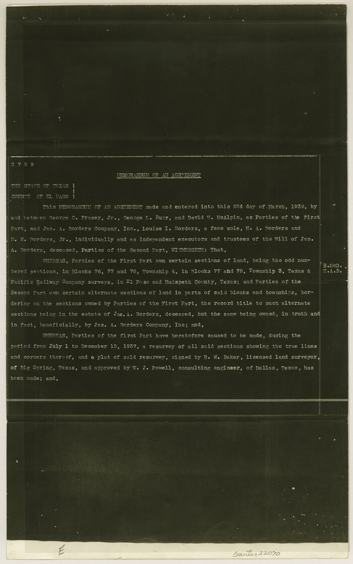

Print $18.00
- Digital $50.00
El Paso County Sketch File 28
1939
Size 15.2 x 9.5 inches
Map/Doc 22070
Refugio County Rolled Sketch 5
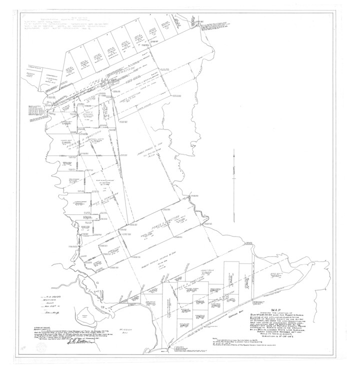

Print $20.00
- Digital $50.00
Refugio County Rolled Sketch 5
1941
Size 45.0 x 42.5 inches
Map/Doc 9859
[East Half of Hockley County]
![91194, [East Half of Hockley County], Twichell Survey Records](https://historictexasmaps.com/wmedia_w700/maps/91194-1.tif.jpg)
![91194, [East Half of Hockley County], Twichell Survey Records](https://historictexasmaps.com/wmedia_w700/maps/91194-1.tif.jpg)
Print $20.00
- Digital $50.00
[East Half of Hockley County]
Size 26.0 x 35.5 inches
Map/Doc 91194
Flight Mission No. DQN-2K, Frame 24, Calhoun County


Print $20.00
- Digital $50.00
Flight Mission No. DQN-2K, Frame 24, Calhoun County
1953
Size 18.6 x 22.2 inches
Map/Doc 84231
Hill County Sketch File 27
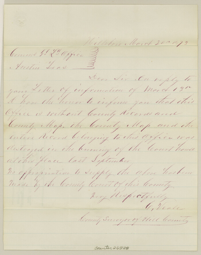

Print $4.00
- Digital $50.00
Hill County Sketch File 27
1873
Size 10.4 x 8.2 inches
Map/Doc 26528
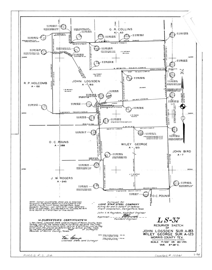
Morris County Rolled Sketch 2A

Print $20.00
- Digital $50.00
Morris County Rolled Sketch 2A
Size 24.1 x 18.9 inches
Map/Doc 10261
[Sketch for Mineral Application 33721 - 33725 Incl. - Padre and Mustang Island]
![2868, [Sketch for Mineral Application 33721 - 33725 Incl. - Padre and Mustang Island], General Map Collection](https://historictexasmaps.com/wmedia_w700/maps/2868.tif.jpg)
![2868, [Sketch for Mineral Application 33721 - 33725 Incl. - Padre and Mustang Island], General Map Collection](https://historictexasmaps.com/wmedia_w700/maps/2868.tif.jpg)
Print $20.00
- Digital $50.00
[Sketch for Mineral Application 33721 - 33725 Incl. - Padre and Mustang Island]
1942
Size 29.7 x 22.3 inches
Map/Doc 2868
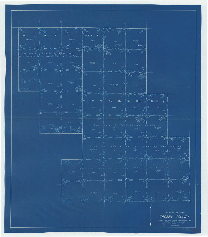
Crosby County Working Sketch 8

Print $20.00
- Digital $50.00
Crosby County Working Sketch 8
1938
Size 42.3 x 37.2 inches
Map/Doc 68442
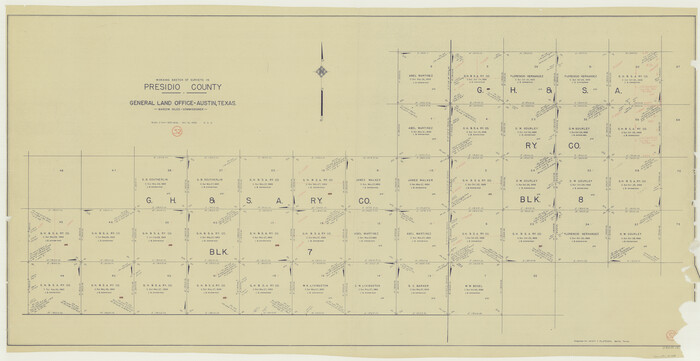
Presidio County Working Sketch 32

Print $40.00
- Digital $50.00
Presidio County Working Sketch 32
1946
Size 26.1 x 50.6 inches
Map/Doc 71709
[Plat of Trinity River w/ Midstream Profile in Liberty County by US Government 1899]
![65339, [Plat of Trinity River w/ Midstream Profile in Liberty County by US Government 1899], General Map Collection](https://historictexasmaps.com/wmedia_w700/maps/65339.tif.jpg)
![65339, [Plat of Trinity River w/ Midstream Profile in Liberty County by US Government 1899], General Map Collection](https://historictexasmaps.com/wmedia_w700/maps/65339.tif.jpg)
Print $20.00
- Digital $50.00
[Plat of Trinity River w/ Midstream Profile in Liberty County by US Government 1899]
1899
Size 12.8 x 17.6 inches
Map/Doc 65339
Bastrop County Sketch File 5


Print $4.00
- Digital $50.00
Bastrop County Sketch File 5
Size 8.1 x 10.2 inches
Map/Doc 14048
Runnels County Sketch File H


Print $4.00
Runnels County Sketch File H
1890
Size 14.3 x 8.8 inches
Map/Doc 35450
![90360, [Morris County School Land and vicinity], Twichell Survey Records](https://historictexasmaps.com/wmedia_w1800h1800/maps/90360-1.tif.jpg)