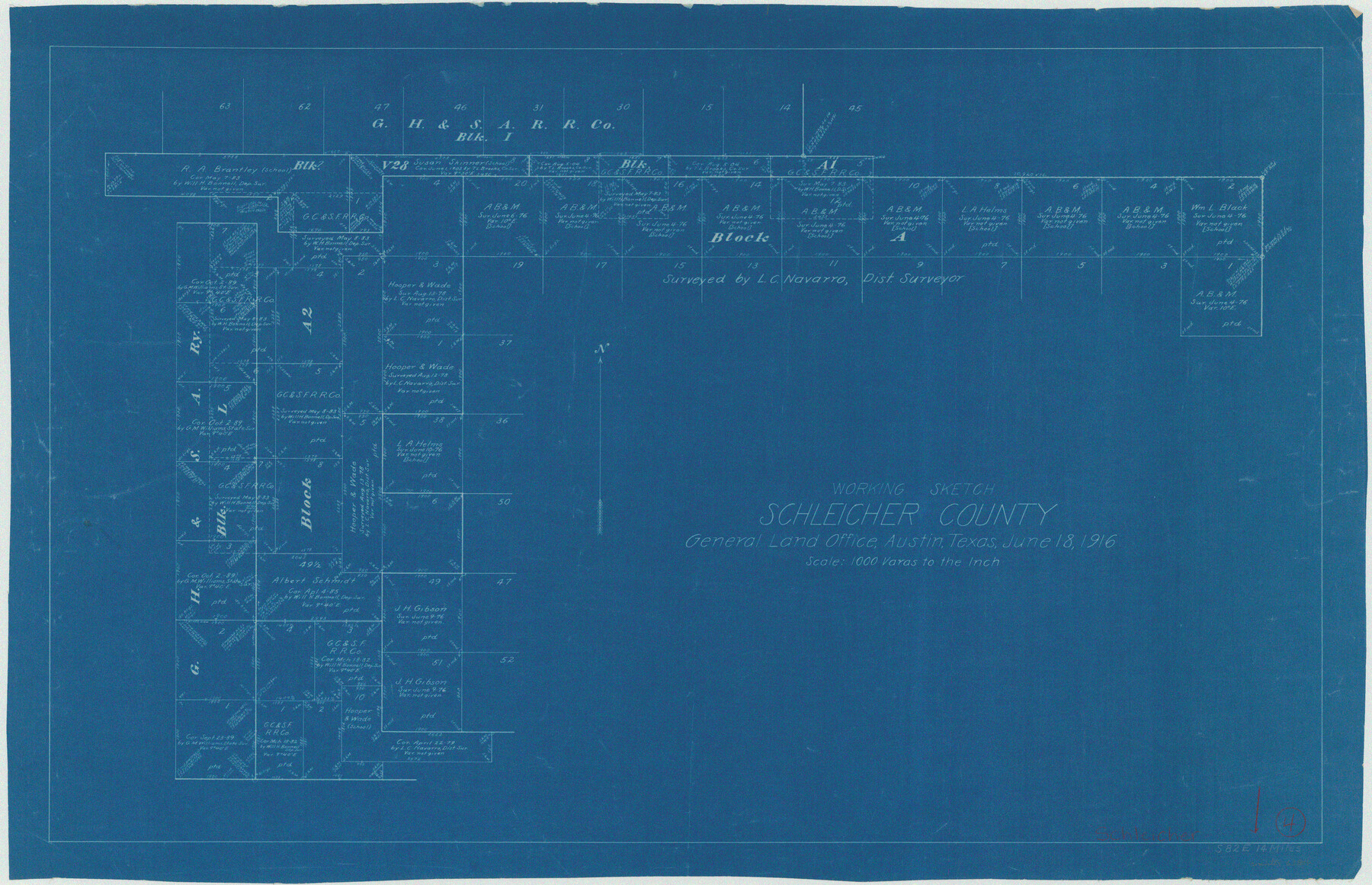
Schleicher County Working Sketch 4
-
Map/Doc
63806
-
Collection
General Map Collection
-
Object Dates
6/18/1916 (Creation Date)
-
Counties
Schleicher
-
Subjects
Surveying Working Sketch
-
Height x Width
21.0 x 32.6 inches
53.3 x 82.8 cm
-
Scale
1" = 1000 varas
Part of: General Map Collection
Terrell County Working Sketch 62

Print $20.00
- Digital $50.00
Terrell County Working Sketch 62
1963
Size 32.2 x 34.4 inches
Map/Doc 69583
[Texas & Pacific Railway through Callahan County]
![64238, [Texas & Pacific Railway through Callahan County], General Map Collection](https://historictexasmaps.com/wmedia_w700/maps/64238.tif.jpg)
Print $20.00
- Digital $50.00
[Texas & Pacific Railway through Callahan County]
1918
Size 22.4 x 9.4 inches
Map/Doc 64238
Hemphill County Working Sketch 14

Print $20.00
- Digital $50.00
Hemphill County Working Sketch 14
1969
Size 34.0 x 44.8 inches
Map/Doc 66109
Coleman County

Print $40.00
- Digital $50.00
Coleman County
1945
Size 55.7 x 37.1 inches
Map/Doc 95458
Harris County Rolled Sketch WDC

Print $40.00
- Digital $50.00
Harris County Rolled Sketch WDC
1936
Size 42.7 x 68.4 inches
Map/Doc 9126

Brown County Working Sketch 17

Print $20.00
- Digital $50.00
Brown County Working Sketch 17
1993
Size 25.6 x 29.4 inches
Map/Doc 67782
Culberson County Rolled Sketch 30

Print $84.00
- Digital $50.00
Culberson County Rolled Sketch 30
1928
Size 57.1 x 36.1 inches
Map/Doc 8746
Hockley County

Print $20.00
- Digital $50.00
Hockley County
1897
Size 19.1 x 20.5 inches
Map/Doc 3675
Approaches to Galveston Bay

Print $40.00
- Digital $50.00
Approaches to Galveston Bay
1989
Size 37.1 x 55.6 inches
Map/Doc 69887
Yoakum County Rolled Sketch 7

Print $20.00
- Digital $50.00
Yoakum County Rolled Sketch 7
2012
Size 25.9 x 18.7 inches
Map/Doc 93291
Colorado County Sketch File 13

Print $4.00
- Digital $50.00
Colorado County Sketch File 13
Size 12.5 x 8.3 inches
Map/Doc 18937
You may also like
Map of Uvalde Co.

Print $20.00
- Digital $50.00
Map of Uvalde Co.
Size 41.0 x 43.9 inches
Map/Doc 63090
International Boundary Line in the Rio Grande delineated in accordance with the Treaty of 1970 - (1982/1983 Aerial Photographs)

International Boundary Line in the Rio Grande delineated in accordance with the Treaty of 1970 - (1982/1983 Aerial Photographs)
1982
Map/Doc 74827
Brazos River, Brazos River Sheet 8

Print $4.00
- Digital $50.00
Brazos River, Brazos River Sheet 8
1926
Size 22.6 x 29.2 inches
Map/Doc 65301
Wheeler County Working Sketch 18

Print $20.00
- Digital $50.00
Wheeler County Working Sketch 18
1985
Size 38.0 x 41.8 inches
Map/Doc 72507

Intracoastal Waterway in Texas - Corpus Christi to Point Isabel including Arroyo Colorado to Mo. Pac. R.R. Bridge Near Harlingen

Print $20.00
- Digital $50.00
Intracoastal Waterway in Texas - Corpus Christi to Point Isabel including Arroyo Colorado to Mo. Pac. R.R. Bridge Near Harlingen
1933
Size 27.8 x 40.9 inches
Map/Doc 61861
Parmer County Sketch File 4

Print $44.00
- Digital $50.00
Parmer County Sketch File 4
1913
Size 7.1 x 8.6 inches
Map/Doc 33630
Stonewall County Rolled Sketch 28

Print $20.00
- Digital $50.00
Stonewall County Rolled Sketch 28
Size 42.8 x 46.5 inches
Map/Doc 9967
Frio County Rolled Sketch HM

Print $20.00
- Digital $50.00
Frio County Rolled Sketch HM
1935
Size 41.2 x 30.6 inches
Map/Doc 8898
Pecos County Sketch File 53

Print $20.00
- Digital $50.00
Pecos County Sketch File 53
Size 18.0 x 38.9 inches
Map/Doc 10569
Uvalde County Working Sketch 28

Print $20.00
- Digital $50.00
Uvalde County Working Sketch 28
1957
Size 25.9 x 21.5 inches
Map/Doc 72098
Grayson County Sketch File 5

Print $40.00
- Digital $50.00
Grayson County Sketch File 5
1856
Size 13.9 x 14.5 inches
Map/Doc 24464