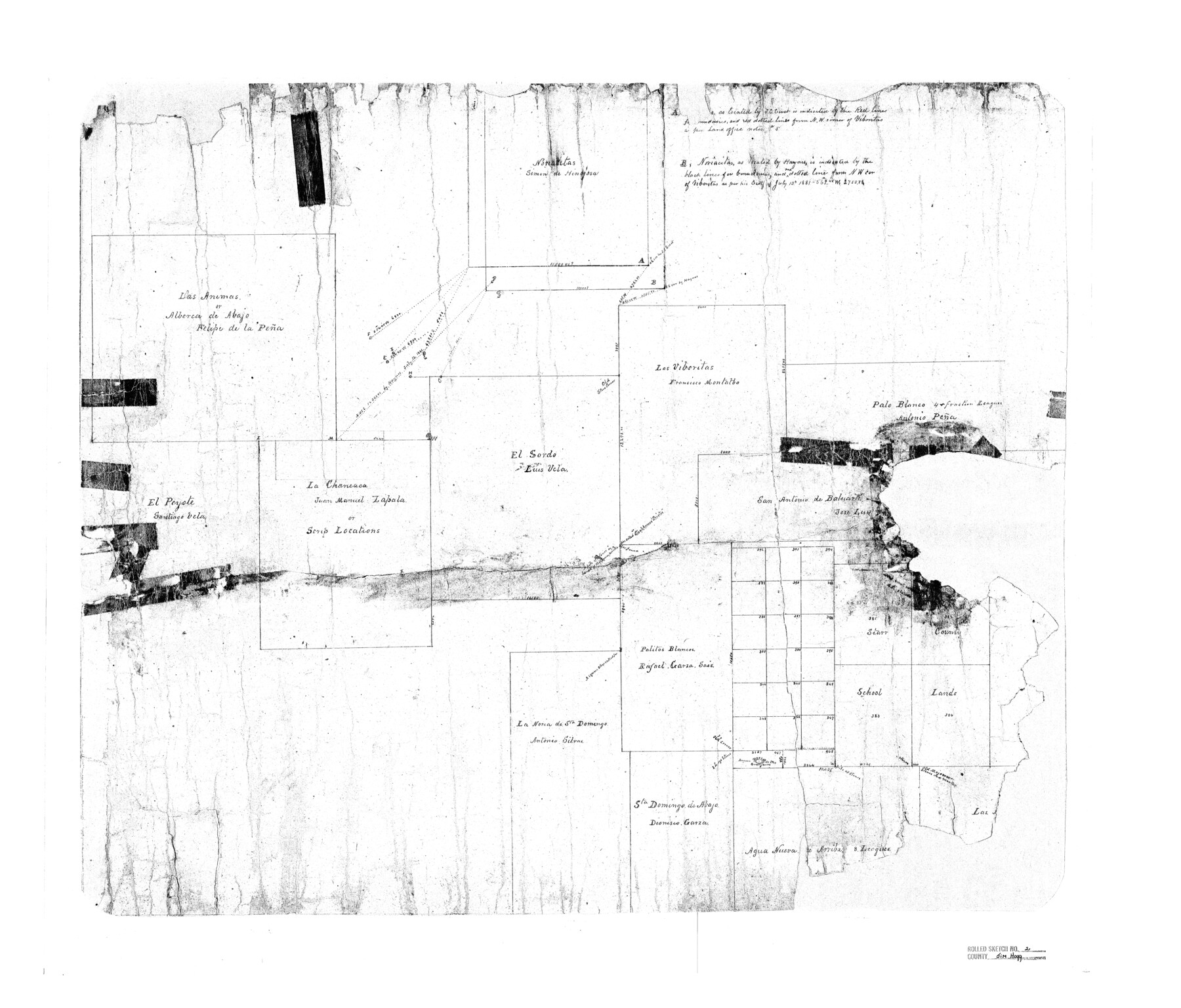
Jim Hogg County Rolled Sketch 2
[Sketch of Surveys south of Hebbronville]
-
Map/Doc
6438
-
Collection
General Map Collection
-
Counties
Jim Hogg
-
Subjects
Surveying Rolled Sketch
-
Height x Width
27.9 x 32.7 inches
70.9 x 83.1 cm
Part of: General Map Collection
Val Verde County Sketch File 47

Print $20.00
- Digital $50.00
Val Verde County Sketch File 47
1951
Size 25.1 x 18.7 inches
Map/Doc 12588
Plat of a survey of the North part of section 16, Block 362, Martha McBride, Presidio County, Texas

Print $20.00
- Digital $50.00
Plat of a survey of the North part of section 16, Block 362, Martha McBride, Presidio County, Texas
1989
Size 24.3 x 36.1 inches
Map/Doc 60523
Outer Continental Shelf Leasing Maps (Louisiana Offshore Operations)

Print $20.00
- Digital $50.00
Outer Continental Shelf Leasing Maps (Louisiana Offshore Operations)
1959
Size 17.7 x 13.9 inches
Map/Doc 76114
Flight Mission No. BRE-1P, Frame 114, Nueces County

Print $20.00
- Digital $50.00
Flight Mission No. BRE-1P, Frame 114, Nueces County
1956
Size 18.6 x 22.9 inches
Map/Doc 86680
McLennan County Sketch File 22

Print $3.00
- Digital $50.00
McLennan County Sketch File 22
1869
Size 11.1 x 9.3 inches
Map/Doc 31296
Flight Mission No. BRA-16M, Frame 77, Jefferson County

Print $20.00
- Digital $50.00
Flight Mission No. BRA-16M, Frame 77, Jefferson County
1953
Size 18.6 x 22.3 inches
Map/Doc 85694
Flight Mission No. DAG-21K, Frame 35, Matagorda County

Print $20.00
- Digital $50.00
Flight Mission No. DAG-21K, Frame 35, Matagorda County
1952
Size 18.6 x 22.4 inches
Map/Doc 86402
Throckmorton County Rolled Sketch 3A

Print $20.00
- Digital $50.00
Throckmorton County Rolled Sketch 3A
Size 30.7 x 37.4 inches
Map/Doc 7987
Loving County Working Sketch 24

Print $40.00
- Digital $50.00
Loving County Working Sketch 24
1952
Size 15.8 x 63.3 inches
Map/Doc 70658
Pecos County Sketch File 97

Print $6.00
- Digital $50.00
Pecos County Sketch File 97
1957
Size 11.4 x 17.2 inches
Map/Doc 34000
Coleman County Working Sketch 20

Print $20.00
- Digital $50.00
Coleman County Working Sketch 20
1953
Size 32.7 x 41.9 inches
Map/Doc 68086
Baylor County Sketch File Z4

Print $2.00
- Digital $50.00
Baylor County Sketch File Z4
1898
Size 9.3 x 7.2 inches
Map/Doc 14114
You may also like
Foard County Working Sketch 5b

Print $20.00
- Digital $50.00
Foard County Working Sketch 5b
Size 18.4 x 24.2 inches
Map/Doc 69196
Sutton County Working Sketch 44

Print $20.00
- Digital $50.00
Sutton County Working Sketch 44
1951
Size 29.8 x 27.5 inches
Map/Doc 62387
Rusk County Working Sketch 21

Print $20.00
- Digital $50.00
Rusk County Working Sketch 21
1953
Size 27.6 x 28.3 inches
Map/Doc 63657
Revised Plat, Section J, Tech Memorial Park, Inc., Infants Garden

Print $20.00
- Digital $50.00
Revised Plat, Section J, Tech Memorial Park, Inc., Infants Garden
1961
Size 29.1 x 33.7 inches
Map/Doc 92786
Kinney County Working Sketch 13

Print $20.00
- Digital $50.00
Kinney County Working Sketch 13
1941
Size 20.3 x 23.9 inches
Map/Doc 70195

Webb County Sketch File 69

Print $6.00
- Digital $50.00
Webb County Sketch File 69
1975
Size 15.1 x 9.9 inches
Map/Doc 39873
Culberson County Working Sketch 60

Print $40.00
- Digital $50.00
Culberson County Working Sketch 60
1974
Size 74.7 x 32.7 inches
Map/Doc 68514


Maverick County Sketch File 1 1/2

Print $20.00
- Digital $50.00
Maverick County Sketch File 1 1/2
1875
Size 23.2 x 27.6 inches
Map/Doc 12049