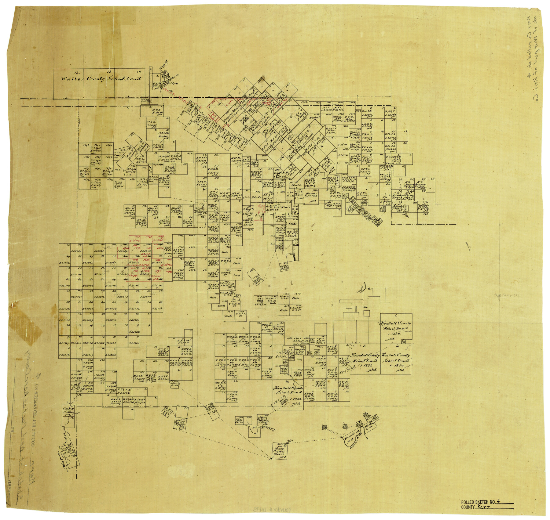
Kerr County Rolled Sketch 4
[Sketch of west part of Kerr County]
-
Map/Doc
6493
-
Collection
General Map Collection
-
Counties
Kerr
-
Subjects
Surveying Rolled Sketch
-
Height x Width
21.8 x 23.1 inches
55.4 x 58.7 cm
-
Medium
paper, manuscript
Part of: General Map Collection
Crockett County

Print $40.00
- Digital $50.00
Crockett County
1882
Size 57.6 x 31.6 inches
Map/Doc 88865
Upton County Sketch File 22

Print $4.00
- Digital $50.00
Upton County Sketch File 22
1927
Size 11.2 x 8.5 inches
Map/Doc 38877
Maverick County Working Sketch 21

Print $20.00
- Digital $50.00
Maverick County Working Sketch 21
1977
Size 34.6 x 24.0 inches
Map/Doc 70913
Medina County Working Sketch 8

Print $20.00
- Digital $50.00
Medina County Working Sketch 8
1955
Size 23.4 x 18.4 inches
Map/Doc 70923
Blanco County Sketch File 41

Print $6.00
- Digital $50.00
Blanco County Sketch File 41
Size 9.6 x 14.3 inches
Map/Doc 14654
Flight Mission No. CGI-3N, Frame 51, Cameron County

Print $20.00
- Digital $50.00
Flight Mission No. CGI-3N, Frame 51, Cameron County
1954
Size 18.6 x 22.2 inches
Map/Doc 84557

Red River County Working Sketch 6

Print $20.00
- Digital $50.00
Red River County Working Sketch 6
1919
Size 20.1 x 20.9 inches
Map/Doc 71989
Map of Nacogdoches County

Print $40.00
- Digital $50.00
Map of Nacogdoches County
1839
Size 83.6 x 43.2 inches
Map/Doc 93370
Johnson County Sketch File 25

Print $50.00
- Digital $50.00
Johnson County Sketch File 25
Size 13.9 x 8.3 inches
Map/Doc 28459
Duval County Rolled Sketch 50

Print $20.00
- Digital $50.00
Duval County Rolled Sketch 50
1876
Size 14.2 x 11.8 inches
Map/Doc 5764
[Texas & Pacific Railway through Callahan County]
![64236, [Texas & Pacific Railway through Callahan County], General Map Collection](https://historictexasmaps.com/wmedia_w700/maps/64236.tif.jpg)
Print $20.00
- Digital $50.00
[Texas & Pacific Railway through Callahan County]
1918
Size 22.9 x 8.8 inches
Map/Doc 64236
You may also like
Henderson County Sketch File 24

Print $20.00
- Digital $50.00
Henderson County Sketch File 24
1974
Size 27.4 x 24.1 inches
Map/Doc 11759
Bell County Sketch File 33

Print $6.00
- Digital $50.00
Bell County Sketch File 33
Size 14.4 x 8.7 inches
Map/Doc 14452
Archer County Working Sketch 4

Print $40.00
- Digital $50.00
Archer County Working Sketch 4
1918
Size 49.9 x 68.3 inches
Map/Doc 67144
Anderson County Working Sketch 29

Print $20.00
- Digital $50.00
Anderson County Working Sketch 29
1962
Size 24.6 x 27.2 inches
Map/Doc 67029
Lamar County Texas

Print $20.00
- Digital $50.00
Lamar County Texas
1879
Size 23.4 x 18.3 inches
Map/Doc 3784
Map of Lee County Texas

Print $20.00
- Digital $50.00
Map of Lee County Texas
1879
Size 26.2 x 18.0 inches
Map/Doc 4578
Jack County Working Sketch 16

Print $20.00
- Digital $50.00
Jack County Working Sketch 16
1982
Size 25.7 x 25.7 inches
Map/Doc 66442
Orange County Sketch File 23

Print $36.00
- Digital $50.00
Orange County Sketch File 23
1911
Size 9.2 x 5.9 inches
Map/Doc 33344
Flight Mission No. DQN-2K, Frame 141, Calhoun County

Print $20.00
- Digital $50.00
Flight Mission No. DQN-2K, Frame 141, Calhoun County
1953
Size 17.3 x 15.8 inches
Map/Doc 84310
General Highway Map. Detail of Cities and Towns in Kinney County, Uvalde County [Uvalde and vicinity]
![79557, General Highway Map. Detail of Cities and Towns in Kinney County, Uvalde County [Uvalde and vicinity], Texas State Library and Archives](https://historictexasmaps.com/wmedia_w700/maps/79557.tif.jpg)
Print $20.00
General Highway Map. Detail of Cities and Towns in Kinney County, Uvalde County [Uvalde and vicinity]
1961
Size 18.2 x 24.6 inches
Map/Doc 79557
Anderson County Working Sketch 8

Print $20.00
- Digital $50.00
Anderson County Working Sketch 8
1923
Size 18.6 x 20.6 inches
Map/Doc 67007
Padre Island National Seashore, Texas - Dependent Resurvey

Print $4.00
- Digital $50.00
Padre Island National Seashore, Texas - Dependent Resurvey
2001
Size 17.8 x 24.2 inches
Map/Doc 60544