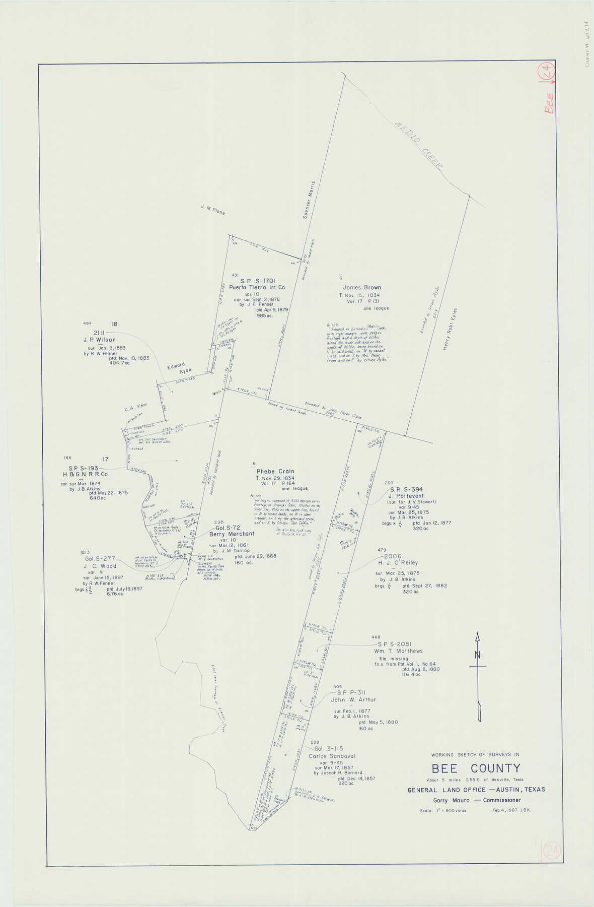
Bee County Working Sketch 24
-
Map/Doc
67274
-
Collection
General Map Collection
-
Object Dates
2/4/1987 (Creation Date)
-
People and Organizations
Joan Kilpatrick (Draftsman)
Garry Mauro (GLO Commissioner)
-
Counties
Bee
-
Subjects
Surveying Working Sketch
-
Height x Width
36.6 x 24.0 inches
93.0 x 61.0 cm
-
Scale
1" = 600 varas
-
Comments
Surveys located about five miles South 55 degrees East of Beeville, Texas.
Part of: General Map Collection
Flight Mission No. DQO-2K, Frame 84, Galveston County

Print $20.00
- Digital $50.00
Flight Mission No. DQO-2K, Frame 84, Galveston County
1952
Size 18.8 x 22.5 inches
Map/Doc 85011
Lynn County Sketch File 17

Print $20.00
- Digital $50.00
Lynn County Sketch File 17
Size 13.2 x 20.9 inches
Map/Doc 12020
Hays County Working Sketch 4

Print $20.00
- Digital $50.00
Hays County Working Sketch 4
1928
Size 25.4 x 21.7 inches
Map/Doc 66078
Martin County Sketch File 1

Print $66.00
- Digital $50.00
Martin County Sketch File 1
Size 19.3 x 8.9 inches
Map/Doc 30626
Texas Intracoastal Waterway - Stover Point to Port Brownsville including Brazos Santiago

Print $20.00
- Digital $50.00
Texas Intracoastal Waterway - Stover Point to Port Brownsville including Brazos Santiago
1961
Size 27.2 x 38.9 inches
Map/Doc 73519
Edwards County Rolled Sketch 18

Print $20.00
- Digital $50.00
Edwards County Rolled Sketch 18
1947
Size 21.8 x 21.2 inches
Map/Doc 5807
Angelina County Working Sketch 17

Print $20.00
- Digital $50.00
Angelina County Working Sketch 17
1942
Size 18.6 x 13.8 inches
Map/Doc 67098
Martin County Working Sketch 7

Print $20.00
- Digital $50.00
Martin County Working Sketch 7
1971
Size 43.0 x 31.3 inches
Map/Doc 70825
Hale County Sketch File 18

Print $4.00
- Digital $50.00
Hale County Sketch File 18
1903
Size 11.0 x 8.6 inches
Map/Doc 24749
Terrell County Working Sketch 60

Print $40.00
- Digital $50.00
Terrell County Working Sketch 60
1962
Size 20.2 x 67.0 inches
Map/Doc 69581
Upton County Sketch File 5

Print $40.00
- Digital $50.00
Upton County Sketch File 5
Size 8.7 x 24.4 inches
Map/Doc 38813
Dawson County Boundary File 3 (2)

Print $40.00
- Digital $50.00
Dawson County Boundary File 3 (2)
Size 13.2 x 33.5 inches
Map/Doc 52367
You may also like
Taylor County Working Sketch 13

Print $20.00
- Digital $50.00
Taylor County Working Sketch 13
1956
Size 16.3 x 28.9 inches
Map/Doc 69623
Pecos County Sketch File 110

Print $22.00
- Digital $50.00
Pecos County Sketch File 110
1913
Size 12.9 x 8.8 inches
Map/Doc 34041
Map of Lake Travis with detailed maps of Lakeway, Briarcliff, Lago Vista, Highland Lake Estates

Map of Lake Travis with detailed maps of Lakeway, Briarcliff, Lago Vista, Highland Lake Estates
Size 23.0 x 35.2 inches
Map/Doc 94373
Reeves County

Print $40.00
- Digital $50.00
Reeves County
1945
Size 49.4 x 40.8 inches
Map/Doc 95624
Newton County Sketch File 8

Print $4.00
- Digital $50.00
Newton County Sketch File 8
Size 11.0 x 9.0 inches
Map/Doc 32376
[Plat map showing mostly Overton Addition]
![92812, [Plat map showing mostly Overton Addition], Twichell Survey Records](https://historictexasmaps.com/wmedia_w700/maps/92812-1.tif.jpg)
Print $20.00
- Digital $50.00
[Plat map showing mostly Overton Addition]
Size 31.9 x 31.3 inches
Map/Doc 92812
Taylor County Boundary File 1

Print $44.00
- Digital $50.00
Taylor County Boundary File 1
Size 8.4 x 8.2 inches
Map/Doc 59184
Double Lakes No. 1 T-Ranch Lynn County, Texas

Print $20.00
- Digital $50.00
Double Lakes No. 1 T-Ranch Lynn County, Texas
Size 36.8 x 31.8 inches
Map/Doc 93216
McLennan County Working Sketch 7

Print $20.00
- Digital $50.00
McLennan County Working Sketch 7
1959
Size 22.6 x 23.9 inches
Map/Doc 70700
Robertson County Sketch File 7

Print $20.00
Robertson County Sketch File 7
1873
Size 16.3 x 24.0 inches
Map/Doc 12250
Pecos County Rolled Sketch 107

Print $20.00
- Digital $50.00
Pecos County Rolled Sketch 107
1940
Size 21.9 x 45.4 inches
Map/Doc 7253
Sutton County Working Sketch 31

Print $20.00
- Digital $50.00
Sutton County Working Sketch 31
1929
Size 19.2 x 21.8 inches
Map/Doc 62374