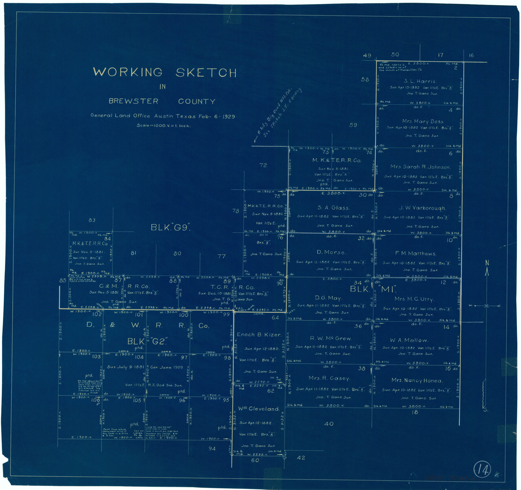
Brewster County Working Sketch 14
-
Map/Doc
67547
-
Collection
General Map Collection
-
Object Dates
2/6/1929 (Creation Date)
-
Counties
Brewster
-
Subjects
Surveying Working Sketch
-
Height x Width
21.3 x 22.7 inches
54.1 x 57.7 cm
-
Scale
1" = 1000 varas
Part of: General Map Collection
Guadalupe County Working Sketch 12

Print $20.00
- Digital $50.00
Guadalupe County Working Sketch 12
2005
Size 29.1 x 23.5 inches
Map/Doc 83571
Grayson County Sketch File 10

Print $4.00
- Digital $50.00
Grayson County Sketch File 10
1851
Size 12.1 x 7.9 inches
Map/Doc 24474
Coleman County Sketch File 37

Print $4.00
- Digital $50.00
Coleman County Sketch File 37
1891
Size 11.1 x 8.4 inches
Map/Doc 18742
Uvalde County Working Sketch 30

Print $20.00
- Digital $50.00
Uvalde County Working Sketch 30
1962
Size 27.9 x 40.9 inches
Map/Doc 72100
Borden County Working Sketch 7

Print $20.00
- Digital $50.00
Borden County Working Sketch 7
1947
Size 21.0 x 22.5 inches
Map/Doc 67467
Johnson County Working Sketch 15

Print $20.00
- Digital $50.00
Johnson County Working Sketch 15
1974
Size 21.6 x 23.8 inches
Map/Doc 66628
Leon County Sketch File 10

Print $64.00
- Digital $50.00
Leon County Sketch File 10
1871
Size 10.6 x 15.7 inches
Map/Doc 29731
Menard County Boundary File 7

Print $6.00
- Digital $50.00
Menard County Boundary File 7
Size 10.5 x 8.1 inches
Map/Doc 57089
Texas Intracoastal Waterway - Port O'Connor to San Antonio Bay, Including Pass Cavallo

Print $20.00
- Digital $50.00
Texas Intracoastal Waterway - Port O'Connor to San Antonio Bay, Including Pass Cavallo
1957
Size 27.3 x 38.9 inches
Map/Doc 73371
Jefferson County Sketch File 43

Print $20.00
- Digital $50.00
Jefferson County Sketch File 43
1957
Size 26.6 x 19.6 inches
Map/Doc 11877
Real County Working Sketch 40

Print $20.00
- Digital $50.00
Real County Working Sketch 40
1952
Size 31.5 x 22.5 inches
Map/Doc 71932
Jeff Davis County Working Sketch 23

Print $20.00
- Digital $50.00
Jeff Davis County Working Sketch 23
1958
Size 41.5 x 30.7 inches
Map/Doc 66518
You may also like
[Texas & Pacific Block 32, T-4-N showing ties to triangulation stations]
![90143, [Texas & Pacific Block 32, T-4-N showing ties to triangulation stations], Twichell Survey Records](https://historictexasmaps.com/wmedia_w700/maps/90143-1.tif.jpg)
Print $20.00
- Digital $50.00
[Texas & Pacific Block 32, T-4-N showing ties to triangulation stations]
Size 20.4 x 11.5 inches
Map/Doc 90143
Montague County Working Sketch 3

Print $20.00
- Digital $50.00
Montague County Working Sketch 3
1912
Size 20.5 x 15.4 inches
Map/Doc 71069
Americae Sive Novi Orbis Nova Descriptio

Print $20.00
- Digital $50.00
Americae Sive Novi Orbis Nova Descriptio
1579
Size 18.0 x 22.9 inches
Map/Doc 93805
Val Verde County Sketch File XXX8

Print $6.00
- Digital $50.00
Val Verde County Sketch File XXX8
Size 9.0 x 16.4 inches
Map/Doc 39106
San Patricio County Rolled Sketch 38A

Print $20.00
- Digital $50.00
San Patricio County Rolled Sketch 38A
1958
Size 26.6 x 23.5 inches
Map/Doc 7589
Brazos River, Jones Bridge Special Map Sheet

Print $4.00
- Digital $50.00
Brazos River, Jones Bridge Special Map Sheet
1936
Size 29.8 x 28.2 inches
Map/Doc 65280
Upton County Working Sketch 38

Print $20.00
- Digital $50.00
Upton County Working Sketch 38
1957
Size 23.3 x 32.8 inches
Map/Doc 69534
Mason County Working Sketch 24

Print $20.00
- Digital $50.00
Mason County Working Sketch 24
2008
Size 20.5 x 26.5 inches
Map/Doc 88825
Val Verde County Working Sketch 27

Print $20.00
- Digital $50.00
Val Verde County Working Sketch 27
1937
Size 26.6 x 26.4 inches
Map/Doc 72162
Upton County Working Sketch 60

Print $20.00
- Digital $50.00
Upton County Working Sketch 60
2012
Size 34.2 x 32.1 inches
Map/Doc 93387
Flight Mission No. BRA-8M, Frame 142, Jefferson County

Print $20.00
- Digital $50.00
Flight Mission No. BRA-8M, Frame 142, Jefferson County
1953
Size 18.5 x 22.1 inches
Map/Doc 85634
Johnson's New Military Map of the United States Showing the Forts, Military Posts & c. with Enlarged Plans of Southern Harbors

Print $20.00
- Digital $50.00
Johnson's New Military Map of the United States Showing the Forts, Military Posts & c. with Enlarged Plans of Southern Harbors
1863
Size 17.7 x 23.3 inches
Map/Doc 93289