
Cass County Working Sketch 29
-
Map/Doc
67932
-
Collection
General Map Collection
-
Object Dates
7/18/1979 (Creation Date)
-
People and Organizations
Beverly Robison (Draftsman)
-
Counties
Cass
-
Subjects
Surveying Working Sketch
-
Height x Width
38.4 x 23.5 inches
97.5 x 59.7 cm
-
Scale
1" = 200 varas
Part of: General Map Collection
Real County Rolled Sketch 18

Print $20.00
- Digital $50.00
Real County Rolled Sketch 18
Size 22.0 x 28.0 inches
Map/Doc 7463
New Map of Texas prepared and published for the Bureau of Immigration of the State of Texas

Print $20.00
- Digital $50.00
New Map of Texas prepared and published for the Bureau of Immigration of the State of Texas
1875
Size 15.8 x 18.3 inches
Map/Doc 93626
Refugio County Working Sketch 4

Print $20.00
- Digital $50.00
Refugio County Working Sketch 4
1937
Size 33.2 x 31.4 inches
Map/Doc 63513
Matagorda County Aerial Photograph Index Sheet 4

Print $20.00
- Digital $50.00
Matagorda County Aerial Photograph Index Sheet 4
1953
Size 23.6 x 19.5 inches
Map/Doc 83725
Map of Africa engraved to illustrate Mitchell's new intermediate geography (Inset 1: Map of Egypt / Inset 2: Liberia and Sierra Leone)

Print $20.00
- Digital $50.00
Map of Africa engraved to illustrate Mitchell's new intermediate geography (Inset 1: Map of Egypt / Inset 2: Liberia and Sierra Leone)
1885
Size 9.0 x 12.2 inches
Map/Doc 93530
Menard County Sketch File 6

Print $4.00
- Digital $50.00
Menard County Sketch File 6
Size 7.6 x 7.2 inches
Map/Doc 31490
Coke County Sketch File 8

Print $20.00
- Digital $50.00
Coke County Sketch File 8
Size 20.2 x 27.8 inches
Map/Doc 11106
Roberts County Boundary File 2d

Print $20.00
- Digital $50.00
Roberts County Boundary File 2d
Size 9.1 x 28.1 inches
Map/Doc 58366
Presidio County Working Sketch 117

Print $20.00
- Digital $50.00
Presidio County Working Sketch 117
1982
Size 14.7 x 15.9 inches
Map/Doc 71794
Trinity County Working Sketch 22

Print $40.00
- Digital $50.00
Trinity County Working Sketch 22
2009
Size 32.0 x 52.1 inches
Map/Doc 89068
Hutchinson County Sketch File 24

Print $24.00
- Digital $50.00
Hutchinson County Sketch File 24
1922
Size 7.5 x 8.7 inches
Map/Doc 27256
Atascosa County Working Sketch 12

Print $20.00
- Digital $50.00
Atascosa County Working Sketch 12
1926
Size 23.0 x 29.2 inches
Map/Doc 67208
You may also like
Aransas County NRC Article 33.136 Location Key Sheet

Print $20.00
- Digital $50.00
Aransas County NRC Article 33.136 Location Key Sheet
1975
Size 27.0 x 23.0 inches
Map/Doc 77004
Crockett County Rolled Sketch 88D

Print $40.00
- Digital $50.00
Crockett County Rolled Sketch 88D
Size 43.2 x 52.0 inches
Map/Doc 8729
Blanco County Working Sketch 4

Print $20.00
- Digital $50.00
Blanco County Working Sketch 4
1885
Size 20.1 x 19.4 inches
Map/Doc 67363
Flight Mission No. CRE-2R, Frame 164, Jackson County

Print $20.00
- Digital $50.00
Flight Mission No. CRE-2R, Frame 164, Jackson County
1956
Size 18.5 x 22.2 inches
Map/Doc 85374

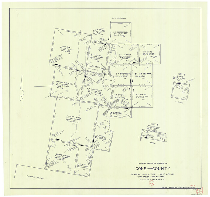
Coke County Working Sketch 26
Print $20.00
- Digital $50.00
Coke County Working Sketch 26
1961
Size 29.1 x 31.2 inches
Map/Doc 68063
Glasscock County Sketch File 27

Print $10.00
- Digital $50.00
Glasscock County Sketch File 27
1989
Size 11.3 x 8.8 inches
Map/Doc 24206
Hays County Sketch File 25a

Print $2.00
- Digital $50.00
Hays County Sketch File 25a
1881
Size 10.2 x 8.0 inches
Map/Doc 26251
Blanco County Sketch File 10

Print $4.00
- Digital $50.00
Blanco County Sketch File 10
1853
Size 14.6 x 8.2 inches
Map/Doc 14588
[Sketch showing T.&P. "B" Blocks in Tsp. 1S, Tsp. 2S, Tsp. 3S and Tsp. 4S]
![89747, [Sketch showing T.&P. "B" Blocks in Tsp. 1S, Tsp. 2S, Tsp. 3S and Tsp. 4S], Twichell Survey Records](https://historictexasmaps.com/wmedia_w700/maps/89747-1.tif.jpg)
Print $40.00
- Digital $50.00
[Sketch showing T.&P. "B" Blocks in Tsp. 1S, Tsp. 2S, Tsp. 3S and Tsp. 4S]
Size 49.4 x 42.5 inches
Map/Doc 89747
Lavaca County Sketch File 4

Print $6.00
- Digital $50.00
Lavaca County Sketch File 4
Size 8.2 x 15.3 inches
Map/Doc 29636
Outer Continental Shelf Leasing Maps (Texas Offshore Operations)

Print $20.00
- Digital $50.00
Outer Continental Shelf Leasing Maps (Texas Offshore Operations)
Size 24.3 x 18.5 inches
Map/Doc 75851