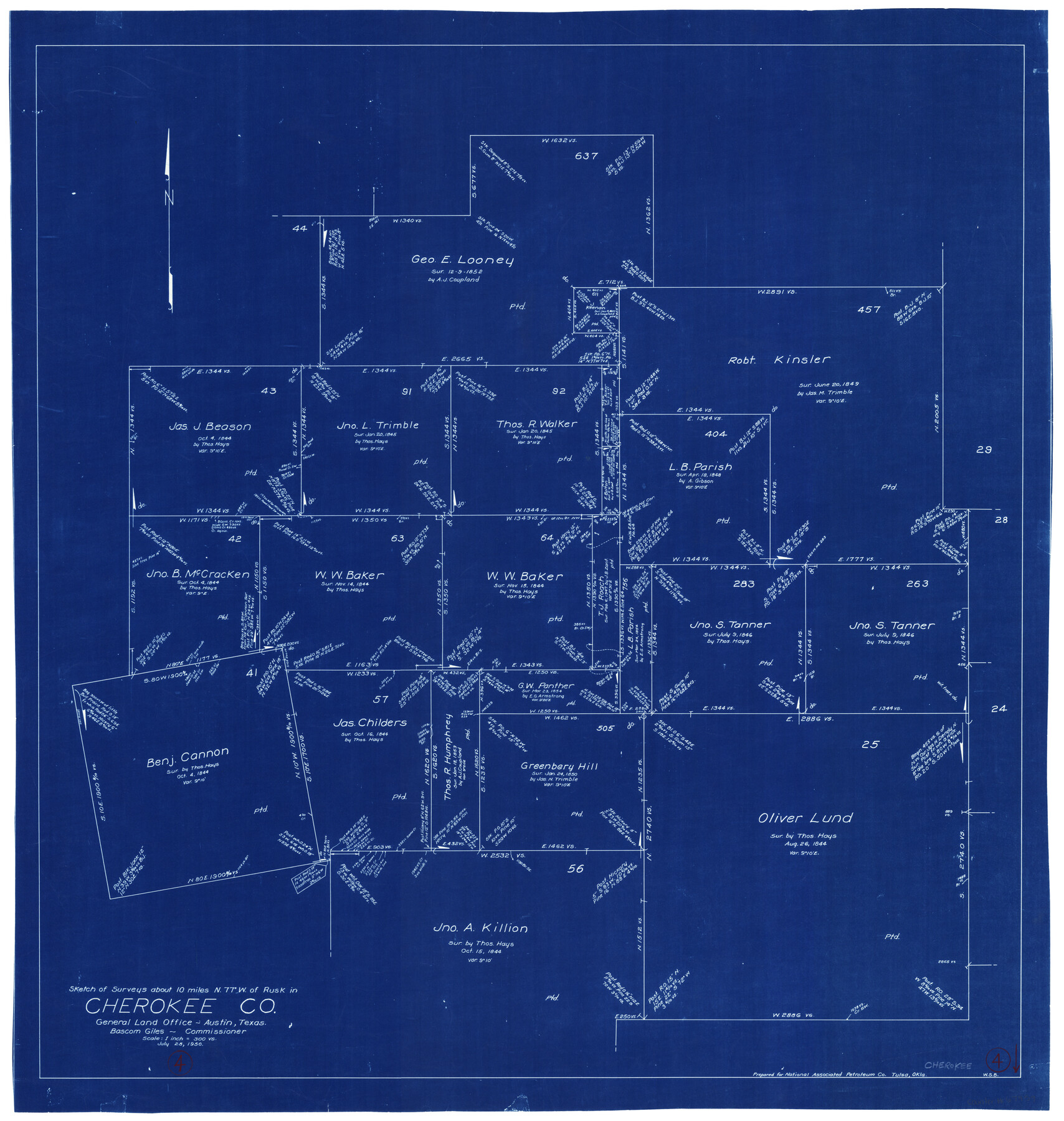
Cherokee County Working Sketch 4
-
Map/Doc
67959
-
Collection
General Map Collection
-
Object Dates
7/25/1950 (Creation Date)
-
People and Organizations
W. S. Brewington (Draftsman)
-
Counties
Cherokee
-
Subjects
Surveying Working Sketch
-
Height x Width
33.1 x 31.5 inches
84.1 x 80.0 cm
-
Scale
1" = 300 varas
Part of: General Map Collection
Flight Mission No. CRC-3R, Frame 45, Chambers County

Print $20.00
- Digital $50.00
Flight Mission No. CRC-3R, Frame 45, Chambers County
1956
Size 18.6 x 22.5 inches
Map/Doc 84818
Knox County Boundary File 1a

Print $16.00
- Digital $50.00
Knox County Boundary File 1a
Size 9.7 x 13.8 inches
Map/Doc 65010
McLennan County Working Sketch 2

Print $20.00
- Digital $50.00
McLennan County Working Sketch 2
1941
Size 21.8 x 30.0 inches
Map/Doc 70695
Runnels County Rolled Sketch 51

Print $20.00
- Digital $50.00
Runnels County Rolled Sketch 51
Size 26.1 x 34.3 inches
Map/Doc 7536
Dickens County Sketch File 32

Print $20.00
- Digital $50.00
Dickens County Sketch File 32
Size 32.8 x 30.6 inches
Map/Doc 11328
Hunt County Sketch File 16a

Print $4.00
- Digital $50.00
Hunt County Sketch File 16a
Size 4.6 x 8.1 inches
Map/Doc 27109
Shackelford County Rolled Sketch 5

Print $20.00
- Digital $50.00
Shackelford County Rolled Sketch 5
1984
Size 23.1 x 37.1 inches
Map/Doc 7773
Baylor County Sketch File Z2

Print $40.00
- Digital $50.00
Baylor County Sketch File Z2
Size 28.5 x 31.3 inches
Map/Doc 10913
Comal County Sketch File 15

Print $6.00
- Digital $50.00
Comal County Sketch File 15
Size 10.3 x 8.6 inches
Map/Doc 19031
Map of America

Print $20.00
- Digital $50.00
Map of America
1841
Size 21.6 x 24.9 inches
Map/Doc 95150
Fisher County Working Sketch 3

Print $20.00
- Digital $50.00
Fisher County Working Sketch 3
1926
Size 19.7 x 15.7 inches
Map/Doc 69137
Cochran County Boundary File 5

Print $12.00
- Digital $50.00
Cochran County Boundary File 5
Size 4.2 x 8.8 inches
Map/Doc 51556
You may also like
Carden L. Green Farm Part Sections 13 & 22, Block JS

Print $20.00
- Digital $50.00
Carden L. Green Farm Part Sections 13 & 22, Block JS
Size 14.0 x 24.1 inches
Map/Doc 92324
Fannin County Sketch File 11

Print $6.00
- Digital $50.00
Fannin County Sketch File 11
1860
Size 9.9 x 7.4 inches
Map/Doc 22457
Mitchell County Sketch File 14

Print $20.00
- Digital $50.00
Mitchell County Sketch File 14
1930
Size 17.5 x 20.5 inches
Map/Doc 12101
Map of Jefferson County

Print $20.00
- Digital $50.00
Map of Jefferson County
1840
Size 34.8 x 27.0 inches
Map/Doc 3726
[Part of North line of County, North of Block G]
![90806, [Part of North line of County, North of Block G], Twichell Survey Records](https://historictexasmaps.com/wmedia_w700/maps/90806-1.tif.jpg)
Print $20.00
- Digital $50.00
[Part of North line of County, North of Block G]
Size 17.9 x 12.5 inches
Map/Doc 90806
Flight Mission No. DAG-23K, Frame 151, Matagorda County

Print $20.00
- Digital $50.00
Flight Mission No. DAG-23K, Frame 151, Matagorda County
1953
Size 15.9 x 15.8 inches
Map/Doc 86499
Nacogdoches County Sketch File 7

Print $6.00
- Digital $50.00
Nacogdoches County Sketch File 7
1875
Size 10.4 x 15.0 inches
Map/Doc 32250
Galveston County Working Sketch 14

Print $20.00
- Digital $50.00
Galveston County Working Sketch 14
1978
Size 33.6 x 40.4 inches
Map/Doc 69351
Frio County Rolled Sketch 12A

Print $20.00
- Digital $50.00
Frio County Rolled Sketch 12A
1948
Size 40.0 x 45.2 inches
Map/Doc 8905
San Luis Pass to East Matagorda Bay

Print $20.00
- Digital $50.00
San Luis Pass to East Matagorda Bay
1966
Size 34.6 x 46.5 inches
Map/Doc 69965
Kerr County Boundary File 1

Print $4.00
- Digital $50.00
Kerr County Boundary File 1
Size 12.7 x 8.1 inches
Map/Doc 55982
Sylvan Sanders Survey Section 3, Block E

Print $20.00
- Digital $50.00
Sylvan Sanders Survey Section 3, Block E
1952
Size 37.4 x 24.2 inches
Map/Doc 92741