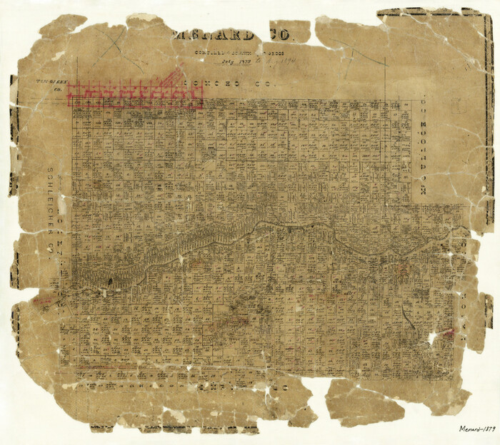
Coke County Working Sketch 27
-
Map/Doc
68064
-
Collection
General Map Collection
-
Object Dates
2/6/1962 (Creation Date)
-
Counties
Coke
-
Subjects
Surveying Working Sketch
-
Height x Width
17.4 x 27.7 inches
44.2 x 70.4 cm
-
Scale
1" = 300 varas
Part of: General Map Collection
Gaines County Rolled Sketch 14A


Print $40.00
- Digital $50.00
Gaines County Rolled Sketch 14A
1940
Size 24.8 x 129.0 inches
Map/Doc 9031
Flight Mission No. DAG-23K, Frame 181, Matagorda County


Print $20.00
- Digital $50.00
Flight Mission No. DAG-23K, Frame 181, Matagorda County
1953
Size 18.7 x 22.4 inches
Map/Doc 86516
Chambers County Working Sketch 11


Print $20.00
- Digital $50.00
Chambers County Working Sketch 11
1952
Size 40.6 x 26.7 inches
Map/Doc 67994
St. L. S.-W. Ry. of Texas, Map of Lufkin Branch in Smith County, Texas
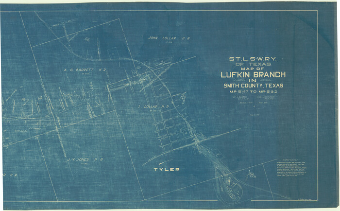

Print $20.00
- Digital $50.00
St. L. S.-W. Ry. of Texas, Map of Lufkin Branch in Smith County, Texas
1912
Size 23.1 x 37.2 inches
Map/Doc 64694
Val Verde County Working Sketch 113


Print $40.00
- Digital $50.00
Val Verde County Working Sketch 113
2003
Size 54.9 x 34.6 inches
Map/Doc 78492
University Lands Blocks 21 to 26, Pecos County, Texas


Print $20.00
- Digital $50.00
University Lands Blocks 21 to 26, Pecos County, Texas
1939
Size 46.1 x 36.8 inches
Map/Doc 2416
Gaines County Rolled Sketch 9
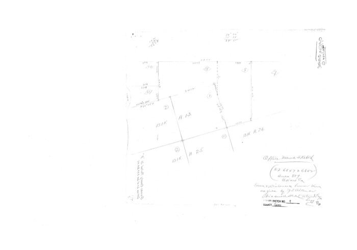

Print $20.00
- Digital $50.00
Gaines County Rolled Sketch 9
Size 20.9 x 29.8 inches
Map/Doc 5929
Williamson County Sketch File 24
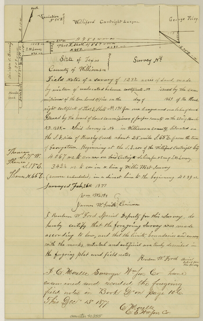

Print $12.00
- Digital $50.00
Williamson County Sketch File 24
1877
Size 12.8 x 8.1 inches
Map/Doc 40355
Bowie County Sketch File 6
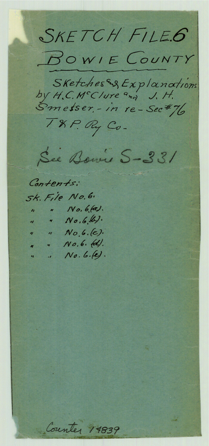

Print $10.00
- Digital $50.00
Bowie County Sketch File 6
1927
Size 8.5 x 4.0 inches
Map/Doc 14839
Colorado County Working Sketch 19
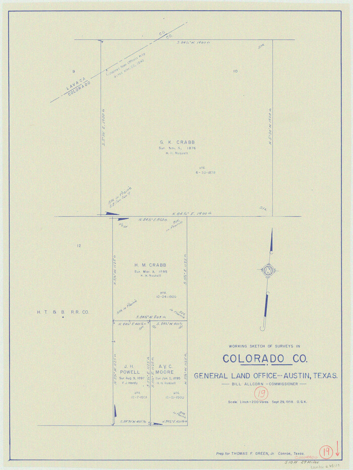

Print $20.00
- Digital $50.00
Colorado County Working Sketch 19
1958
Size 25.3 x 19.1 inches
Map/Doc 68119
[Surveys in the Bexar District along the Guadalupe River]
![124, [Surveys in the Bexar District along the Guadalupe River], General Map Collection](https://historictexasmaps.com/wmedia_w700/maps/124.tif.jpg)
![124, [Surveys in the Bexar District along the Guadalupe River], General Map Collection](https://historictexasmaps.com/wmedia_w700/maps/124.tif.jpg)
Print $3.00
- Digital $50.00
[Surveys in the Bexar District along the Guadalupe River]
1841
Size 17.2 x 10.8 inches
Map/Doc 124
Map of Orange County
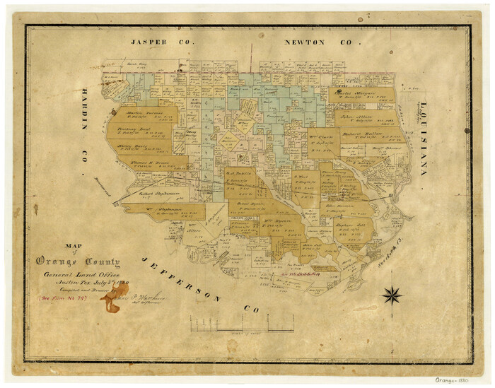

Print $20.00
- Digital $50.00
Map of Orange County
1880
Size 15.2 x 19.2 inches
Map/Doc 3930
You may also like
Hudspeth County Working Sketch 26


Print $40.00
- Digital $50.00
Hudspeth County Working Sketch 26
1972
Size 31.5 x 54.0 inches
Map/Doc 66308
[H. & G. N. Block 4]
![90268, [H. & G. N. Block 4], Twichell Survey Records](https://historictexasmaps.com/wmedia_w700/maps/90268-1.tif.jpg)
![90268, [H. & G. N. Block 4], Twichell Survey Records](https://historictexasmaps.com/wmedia_w700/maps/90268-1.tif.jpg)
Print $20.00
- Digital $50.00
[H. & G. N. Block 4]
1887
Size 22.2 x 19.6 inches
Map/Doc 90268
Red River County Working Sketch 39


Print $20.00
- Digital $50.00
Red River County Working Sketch 39
1967
Size 33.4 x 23.8 inches
Map/Doc 72022
Brewster County Rolled Sketch 59
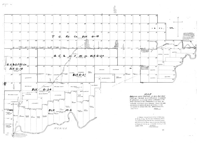

Print $20.00
- Digital $50.00
Brewster County Rolled Sketch 59
1938
Size 32.8 x 45.2 inches
Map/Doc 8483
Aransas County Rolled Sketch 5


Print $53.00
- Digital $50.00
Aransas County Rolled Sketch 5
1953
Size 10.5 x 15.4 inches
Map/Doc 42075
Wise County Working Sketch 14
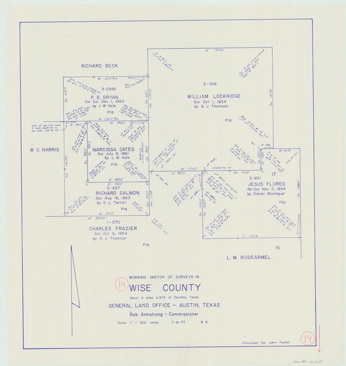

Print $20.00
- Digital $50.00
Wise County Working Sketch 14
1977
Size 19.0 x 18.0 inches
Map/Doc 72628
Gray County Sketch File 8
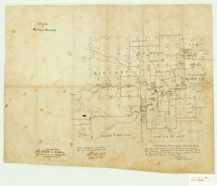

Print $20.00
- Digital $50.00
Gray County Sketch File 8
1888
Size 17.7 x 20.7 inches
Map/Doc 11577
Dawson County Rolled Sketch 4
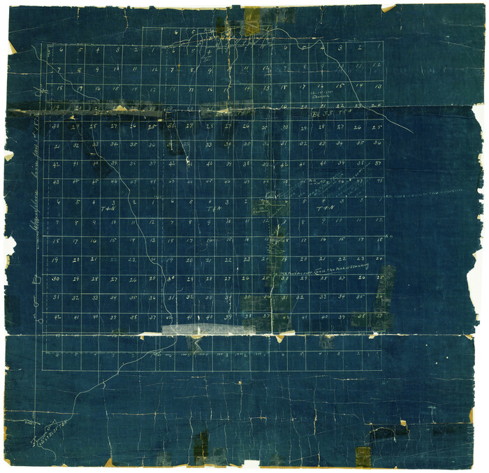

Print $20.00
- Digital $50.00
Dawson County Rolled Sketch 4
Size 24.3 x 23.9 inches
Map/Doc 5690
Henderson County Rolled Sketch 11
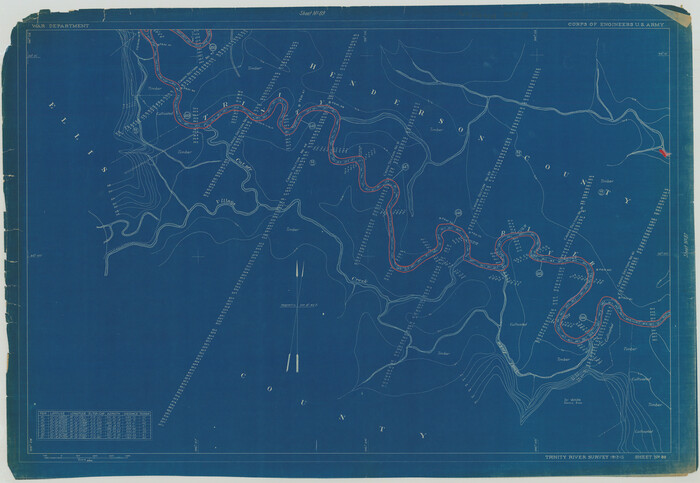

Print $20.00
- Digital $50.00
Henderson County Rolled Sketch 11
1915
Size 29.4 x 42.6 inches
Map/Doc 75955
General Highway Map, Crosby County, Texas
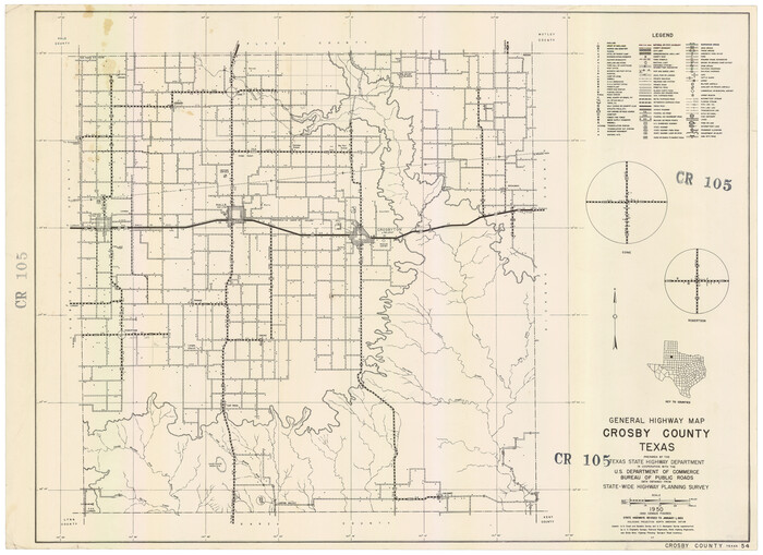

Print $20.00
- Digital $50.00
General Highway Map, Crosby County, Texas
1950
Size 25.7 x 18.8 inches
Map/Doc 92596
Flight Mission No. DQO-8K, Frame 77, Galveston County
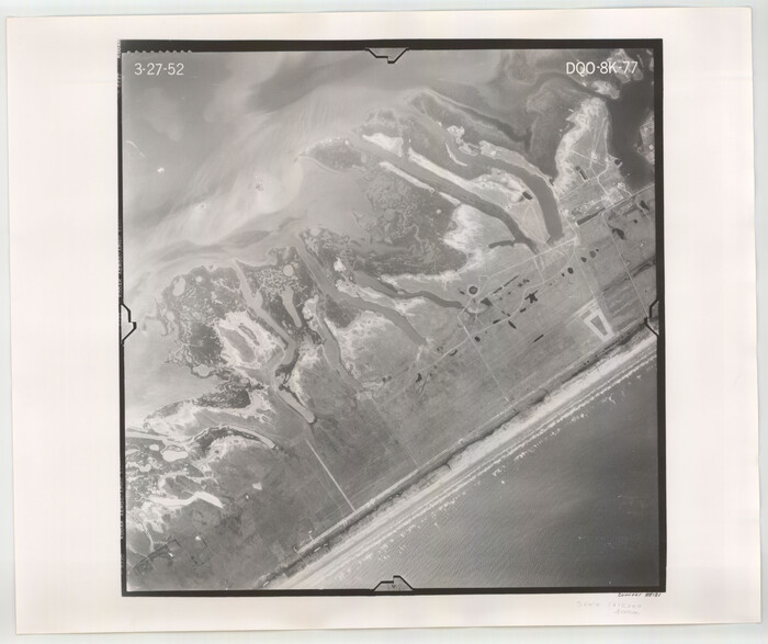

Print $20.00
- Digital $50.00
Flight Mission No. DQO-8K, Frame 77, Galveston County
1952
Size 18.9 x 22.5 inches
Map/Doc 85181

