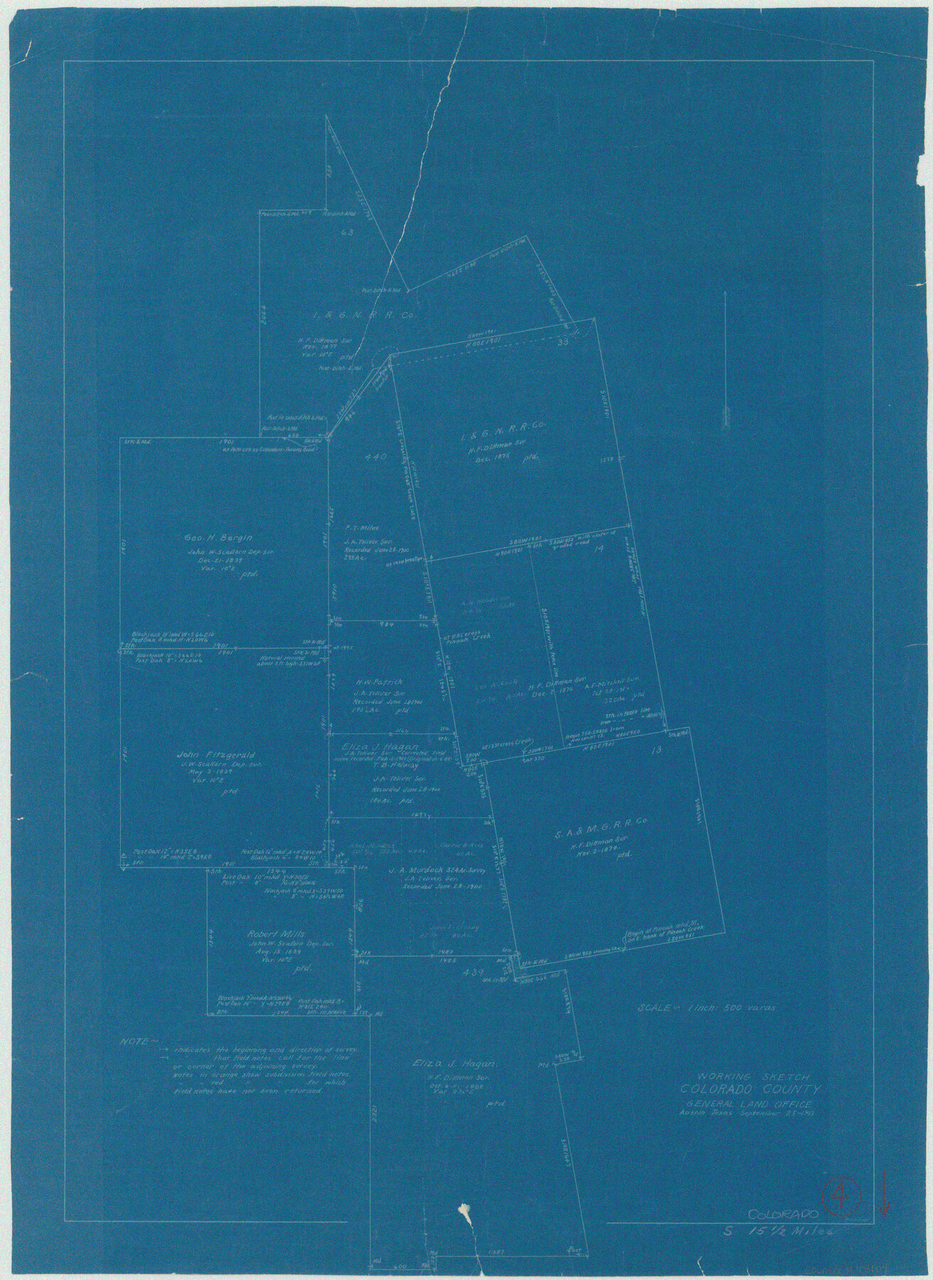
Colorado County Working Sketch 4
-
Map/Doc
68104
-
Collection
General Map Collection
-
Object Dates
9/25/1913 (Creation Date)
-
Counties
Colorado
-
Subjects
Surveying Working Sketch
-
Height x Width
23.2 x 16.9 inches
58.9 x 42.9 cm
-
Scale
1" = 500 varas
Part of: General Map Collection
Deaf Smith County Sketch File 1a

Print $21.00
- Digital $50.00
Deaf Smith County Sketch File 1a
Size 11.5 x 9.2 inches
Map/Doc 20616
Map of Pecos and Reeves Counties

Print $40.00
- Digital $50.00
Map of Pecos and Reeves Counties
1873
Size 45.3 x 115.6 inches
Map/Doc 75930
Aransas County Rolled Sketch 19C

Print $20.00
- Digital $50.00
Aransas County Rolled Sketch 19C
Size 40.9 x 30.6 inches
Map/Doc 5063
Webb County Rolled Sketch 11

Print $20.00
- Digital $50.00
Webb County Rolled Sketch 11
1911
Size 37.1 x 34.7 inches
Map/Doc 10118
Galveston County NRC Article 33.136 Location Key Sheet

Print $20.00
- Digital $50.00
Galveston County NRC Article 33.136 Location Key Sheet
1995
Size 27.0 x 22.0 inches
Map/Doc 83592
Flight Mission No. DQN-5K, Frame 49, Calhoun County

Print $20.00
- Digital $50.00
Flight Mission No. DQN-5K, Frame 49, Calhoun County
1953
Size 17.4 x 22.3 inches
Map/Doc 84394
Galveston County NRC Article 33.136 Sketch 62

Print $28.00
- Digital $50.00
Galveston County NRC Article 33.136 Sketch 62
2009
Size 24.0 x 36.0 inches
Map/Doc 94596
Edwards County Working Sketch 62

Print $20.00
- Digital $50.00
Edwards County Working Sketch 62
1955
Size 21.7 x 28.5 inches
Map/Doc 68938
Rockwall County Boundary File 4a

Print $10.00
- Digital $50.00
Rockwall County Boundary File 4a
Size 11.2 x 8.8 inches
Map/Doc 58399
Sterling County Sketch File 4

Print $20.00
- Digital $50.00
Sterling County Sketch File 4
1906
Size 19.4 x 26.0 inches
Map/Doc 12356
Montague County Rolled Sketch 2

Print $20.00
- Digital $50.00
Montague County Rolled Sketch 2
1940
Size 32.5 x 35.5 inches
Map/Doc 9525
Webb County Sketch File 9-2

Print $4.00
- Digital $50.00
Webb County Sketch File 9-2
1916
Size 11.3 x 8.6 inches
Map/Doc 39764
You may also like
Lampasas County Sketch File 11

Print $4.00
- Digital $50.00
Lampasas County Sketch File 11
1874
Size 12.2 x 7.9 inches
Map/Doc 29420
Jones County Working Sketch 3

Print $20.00
- Digital $50.00
Jones County Working Sketch 3
1938
Size 28.7 x 25.4 inches
Map/Doc 66641
Leon County Sketch File 5

Print $4.00
- Digital $50.00
Leon County Sketch File 5
Size 8.0 x 7.8 inches
Map/Doc 29715
Plan of the City of Austin

Print $40.00
- Digital $50.00
Plan of the City of Austin
1840
Size 54.0 x 38.9 inches
Map/Doc 2176
Flight Mission No. CUG-1P, Frame 79, Kleberg County

Print $20.00
- Digital $50.00
Flight Mission No. CUG-1P, Frame 79, Kleberg County
1956
Size 18.7 x 22.2 inches
Map/Doc 86144
Hunt County Boundary File 7

Print $14.00
- Digital $50.00
Hunt County Boundary File 7
Size 14.1 x 8.7 inches
Map/Doc 55228
Cottle County Rolled Sketch 11

Print $20.00
- Digital $50.00
Cottle County Rolled Sketch 11
1927
Size 31.6 x 24.1 inches
Map/Doc 5568
Flight Mission No. BRA-9M, Frame 73, Jefferson County

Print $20.00
- Digital $50.00
Flight Mission No. BRA-9M, Frame 73, Jefferson County
1953
Size 18.6 x 22.6 inches
Map/Doc 85656
Pecos County Rolled Sketch 14

Print $40.00
- Digital $50.00
Pecos County Rolled Sketch 14
Size 39.5 x 82.3 inches
Map/Doc 75942
Oldham County Sketch File 5

Print $4.00
- Digital $50.00
Oldham County Sketch File 5
Size 8.5 x 11.9 inches
Map/Doc 33234
![94185, Texas [Recto], General Map Collection](https://historictexasmaps.com/wmedia_w700/maps/94185.tif.jpg)
Young County Rolled Sketch 11

Print $20.00
- Digital $50.00
Young County Rolled Sketch 11
Size 14.9 x 23.1 inches
Map/Doc 8299