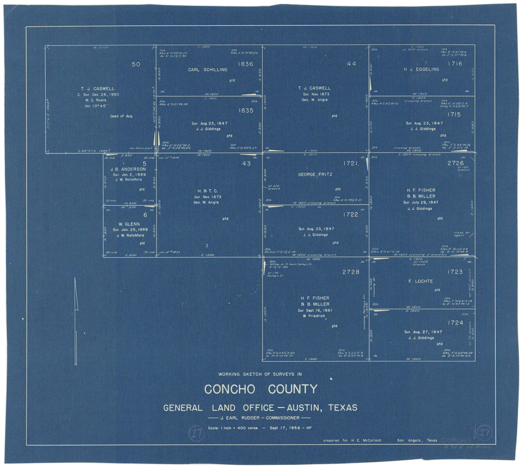
Concho County Working Sketch 17
-
Map/Doc
68199
-
Collection
General Map Collection
-
Object Dates
9/17/1956 (Creation Date)
-
People and Organizations
Herman Forbes (Draftsman)
-
Counties
Concho
-
Subjects
Surveying Working Sketch
-
Height x Width
20.9 x 23.4 inches
53.1 x 59.4 cm
-
Scale
1" = 400 varas
Part of: General Map Collection
Map of Harris County Showing Abandoned Surveys

Print $40.00
- Digital $50.00
Map of Harris County Showing Abandoned Surveys
1938
Size 42.5 x 67.1 inches
Map/Doc 2053
Brewster County Rolled Sketch 64

Print $20.00
- Digital $50.00
Brewster County Rolled Sketch 64
1940
Size 17.1 x 21.0 inches
Map/Doc 5232
San Patricio County Rolled Sketch 46F

Print $4.00
- Digital $50.00
San Patricio County Rolled Sketch 46F
1983
Size 18.0 x 23.1 inches
Map/Doc 8377
Taylor County Working Sketch 13

Print $20.00
- Digital $50.00
Taylor County Working Sketch 13
1956
Size 16.3 x 28.9 inches
Map/Doc 69623
Archer County Working Sketch 10b

Print $20.00
- Digital $50.00
Archer County Working Sketch 10b
1924
Size 25.5 x 40.2 inches
Map/Doc 67151
Montgomery County Rolled Sketch 40

Print $393.00
- Digital $50.00
Montgomery County Rolled Sketch 40
1970
Size 10.3 x 16.0 inches
Map/Doc 46793
Hopkins County

Print $20.00
- Digital $50.00
Hopkins County
1942
Size 43.6 x 41.6 inches
Map/Doc 1858
Flight Mission No. CON-2R, Frame 55, Stonewall County

Print $20.00
- Digital $50.00
Flight Mission No. CON-2R, Frame 55, Stonewall County
1957
Size 18.3 x 22.0 inches
Map/Doc 86987
Coke County Rolled Sketch 14A

Print $20.00
- Digital $50.00
Coke County Rolled Sketch 14A
Size 21.0 x 14.1 inches
Map/Doc 5515
Presidio County Sketch File 88 1/2

Print $4.00
- Digital $50.00
Presidio County Sketch File 88 1/2
Size 14.4 x 8.8 inches
Map/Doc 34754
Kleberg County NRC Article 33.136 Location Key Sheet

Print $20.00
- Digital $50.00
Kleberg County NRC Article 33.136 Location Key Sheet
1975
Size 27.0 x 24.0 inches
Map/Doc 77051
Hockley County Sketch File M

Print $20.00
- Digital $50.00
Hockley County Sketch File M
Size 22.2 x 25.8 inches
Map/Doc 11777
You may also like
Angelina County Sketch File 27

Print $10.00
- Digital $50.00
Angelina County Sketch File 27
1890
Size 14.1 x 8.7 inches
Map/Doc 13073
Duval County Working Sketch 25

Print $20.00
- Digital $50.00
Duval County Working Sketch 25
1946
Size 23.7 x 20.1 inches
Map/Doc 68749
Harris County Rolled Sketch 64

Print $20.00
- Digital $50.00
Harris County Rolled Sketch 64
1936
Size 35.0 x 40.3 inches
Map/Doc 9123
Webb County Working Sketch 41

Print $20.00
- Digital $50.00
Webb County Working Sketch 41
1941
Size 15.7 x 18.8 inches
Map/Doc 72406
Gulf of Mexico

Print $20.00
- Digital $50.00
Gulf of Mexico
1908
Size 18.3 x 28.0 inches
Map/Doc 72661
Acreage in Texas by Counties

Print $20.00
- Digital $50.00
Acreage in Texas by Counties
Size 19.3 x 20.0 inches
Map/Doc 62974
Flight Mission No. DQN-2K, Frame 164, Calhoun County

Print $20.00
- Digital $50.00
Flight Mission No. DQN-2K, Frame 164, Calhoun County
1953
Size 18.7 x 22.5 inches
Map/Doc 84326
A New Map of Texas, Oregon and California with the Regions adjoining

Print $20.00
- Digital $50.00
A New Map of Texas, Oregon and California with the Regions adjoining
1846
Size 20.4 x 19.3 inches
Map/Doc 89067
Flight Mission No. DQN-6K, Frame 15, Calhoun County

Print $20.00
- Digital $50.00
Flight Mission No. DQN-6K, Frame 15, Calhoun County
1953
Size 18.4 x 22.2 inches
Map/Doc 84437
Map of Atascosa County, Texas

Print $20.00
- Digital $50.00
Map of Atascosa County, Texas
1916
Size 30.0 x 28.6 inches
Map/Doc 9006
The Judicial District/County of Madison. Abolished, Spring 1842

Print $20.00
The Judicial District/County of Madison. Abolished, Spring 1842
2020
Size 18.2 x 21.7 inches
Map/Doc 96334
