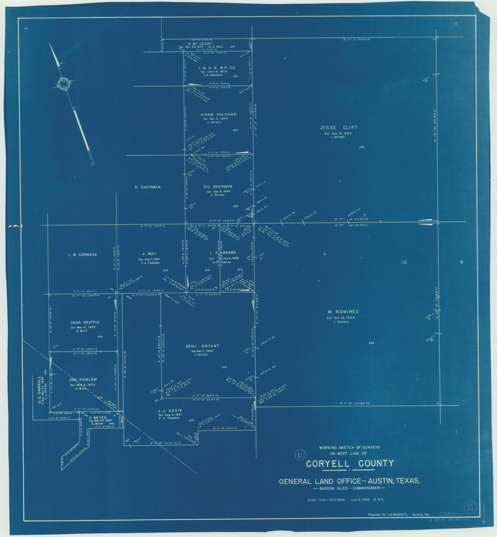
Coryell County Working Sketch 11
-
Map/Doc
68218
-
Collection
General Map Collection
-
Object Dates
6/2/1949 (Creation Date)
-
People and Organizations
Otto G. Kurio (Draftsman)
-
Counties
Coryell Lampasas
-
Subjects
Surveying Working Sketch
-
Height x Width
29.7 x 27.5 inches
75.4 x 69.9 cm
-
Scale
1" = 500 varas
Part of: General Map Collection
Hardeman County Working Sketch 16

Print $20.00
- Digital $50.00
Hardeman County Working Sketch 16
1982
Size 35.7 x 45.1 inches
Map/Doc 63397
Map of survey of the 100th Meridian west longitude, extending from the north bank of Red River to the intersection of the Northern Boundary of the Creek or Seminole Country

Print $20.00
- Digital $50.00
Map of survey of the 100th Meridian west longitude, extending from the north bank of Red River to the intersection of the Northern Boundary of the Creek or Seminole Country
1859
Size 30.8 x 9.9 inches
Map/Doc 3091
Flight Mission No. CRK-5P, Frame 155, Refugio County

Print $20.00
- Digital $50.00
Flight Mission No. CRK-5P, Frame 155, Refugio County
1956
Size 18.7 x 22.6 inches
Map/Doc 86936
Galveston County NRC Article 33.136 Sketch 74

Print $26.00
- Digital $50.00
Galveston County NRC Article 33.136 Sketch 74
2013
Size 24.0 x 36.0 inches
Map/Doc 95114
Nueces County NRC Article 33.136 Sketch 10

Print $36.00
- Digital $50.00
Nueces County NRC Article 33.136 Sketch 10
2004
Size 23.9 x 35.9 inches
Map/Doc 83526
Flight Mission No. CRC-3R, Frame 91, Chambers County

Print $20.00
- Digital $50.00
Flight Mission No. CRC-3R, Frame 91, Chambers County
1956
Size 18.7 x 22.4 inches
Map/Doc 84829

Young County Working Sketch 27

Print $20.00
- Digital $50.00
Young County Working Sketch 27
1982
Size 24.3 x 32.6 inches
Map/Doc 62050

Webb County Rolled Sketch 69

Print $20.00
- Digital $50.00
Webb County Rolled Sketch 69
1964
Size 13.9 x 22.3 inches
Map/Doc 8216
Travis County Sketch File 21

Print $4.00
- Digital $50.00
Travis County Sketch File 21
1875
Size 12.8 x 8.4 inches
Map/Doc 38325
Edwards County Sketch File 34

Print $20.00
- Digital $50.00
Edwards County Sketch File 34
Size 16.8 x 19.0 inches
Map/Doc 11434
You may also like
Vicinity of San Luis Pass, Galveston Island, Texas

Print $40.00
- Digital $50.00
Vicinity of San Luis Pass, Galveston Island, Texas
1933
Size 37.1 x 57.8 inches
Map/Doc 69943
Caldwell County

Print $20.00
- Digital $50.00
Caldwell County
1935
Size 37.8 x 42.0 inches
Map/Doc 73095
[G. C. & S. F. Railroad Company, Block S]
![91330, [G. C. & S. F. Railroad Company, Block S], Twichell Survey Records](https://historictexasmaps.com/wmedia_w700/maps/91330-1.tif.jpg)
Print $2.00
- Digital $50.00
[G. C. & S. F. Railroad Company, Block S]
Size 8.6 x 6.0 inches
Map/Doc 91330
Brazos River Conservation and Reclamation District Official Boundary Line Survey

Print $20.00
- Digital $50.00
Brazos River Conservation and Reclamation District Official Boundary Line Survey
Size 36.9 x 25.0 inches
Map/Doc 90251

Cooke County Working Sketch 39

Print $20.00
- Digital $50.00
Cooke County Working Sketch 39
2009
Size 30.5 x 36.5 inches
Map/Doc 89042
Descripcion del Destricto del Audiencia de la Nueva Galicia

Print $20.00
- Digital $50.00
Descripcion del Destricto del Audiencia de la Nueva Galicia
1622
Size 13.0 x 17.6 inches
Map/Doc 97258
Panola County Working Sketch 41

Print $20.00
- Digital $50.00
Panola County Working Sketch 41
1995
Map/Doc 71450
San Jacinto River, Houston Ship Channel

Print $2.00
- Digital $50.00
San Jacinto River, Houston Ship Channel
1939
Size 11.7 x 17.7 inches
Map/Doc 65150
Galveston County NRC Article 33.136 Sketch 39

Print $24.00
- Digital $50.00
Galveston County NRC Article 33.136 Sketch 39
2005
Size 25.0 x 25.4 inches
Map/Doc 83084
Pecos County Rolled Sketch 134

Print $20.00
- Digital $50.00
Pecos County Rolled Sketch 134
1952
Size 35.9 x 27.0 inches
Map/Doc 7270
Jefferson County Working Sketch 9

Print $20.00
- Digital $50.00
Jefferson County Working Sketch 9
1937
Size 19.5 x 22.0 inches
Map/Doc 66552