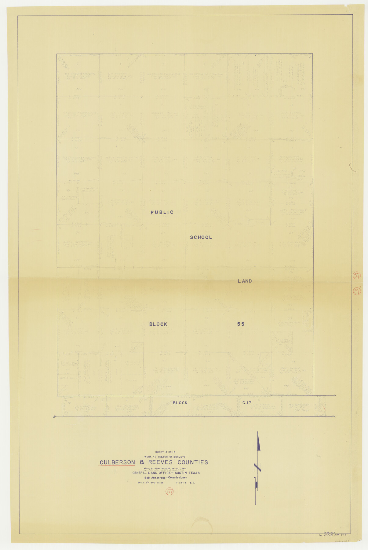
Culberson County Working Sketch 57
-
Map/Doc
68511
-
Collection
General Map Collection
-
Object Dates
3/25/1974 (Creation Date)
-
People and Organizations
Elbert Menzel (Draftsman)
-
Counties
Culberson Reeves
-
Subjects
Surveying Working Sketch
-
Height x Width
49.0 x 32.8 inches
124.5 x 83.3 cm
-
Scale
1" = 500 varas
Part of: General Map Collection

Kerr County Boundary File 4

Print $4.00
- Digital $50.00
Kerr County Boundary File 4
Size 11.1 x 8.3 inches
Map/Doc 64799
Aransas Pass to Baffin Bay

Print $20.00
- Digital $50.00
Aransas Pass to Baffin Bay
1937
Size 41.6 x 34.5 inches
Map/Doc 73410
Galveston County NRC Article 33.136 Location Key Sheet

Print $20.00
- Digital $50.00
Galveston County NRC Article 33.136 Location Key Sheet
1995
Size 27.0 x 22.0 inches
Map/Doc 83001
Flight Mission No. CGN-3P, Frame 141, San Patricio County

Print $20.00
- Digital $50.00
Flight Mission No. CGN-3P, Frame 141, San Patricio County
1956
Size 18.6 x 22.4 inches
Map/Doc 86985
Motley County Working Sketch 1

Print $20.00
- Digital $50.00
Motley County Working Sketch 1
1895
Size 16.3 x 21.2 inches
Map/Doc 71206
Flight Mission No. CLL-3N, Frame 44, Willacy County

Print $20.00
- Digital $50.00
Flight Mission No. CLL-3N, Frame 44, Willacy County
1954
Size 18.4 x 22.0 inches
Map/Doc 87102
Copy of connection made by E. Sewell

Print $2.00
- Digital $50.00
Copy of connection made by E. Sewell
1841
Size 9.4 x 9.0 inches
Map/Doc 161
Hale County Working Sketch 3

Print $20.00
- Digital $50.00
Hale County Working Sketch 3
1963
Size 27.0 x 22.2 inches
Map/Doc 63323
Jefferson County Rolled Sketch 50

Print $20.00
- Digital $50.00
Jefferson County Rolled Sketch 50
Size 34.2 x 41.6 inches
Map/Doc 9306
Brazos Island Harbor, Texas - Dredging Entrance Channel Plan

Print $20.00
- Digital $50.00
Brazos Island Harbor, Texas - Dredging Entrance Channel Plan
1990
Size 14.6 x 20.0 inches
Map/Doc 83337
Hardeman County Sketch File 18

Print $8.00
- Digital $50.00
Hardeman County Sketch File 18
Size 13.1 x 8.2 inches
Map/Doc 25026
You may also like
Concho County Working Sketch 2

Print $20.00
- Digital $50.00
Concho County Working Sketch 2
1915
Size 22.4 x 17.6 inches
Map/Doc 68184
Hunt County Rolled Sketch 2

Print $20.00
- Digital $50.00
Hunt County Rolled Sketch 2
Size 31.8 x 29.9 inches
Map/Doc 9240
Greer County Sketch File 11

Print $6.00
- Digital $50.00
Greer County Sketch File 11
Size 14.2 x 8.8 inches
Map/Doc 24532
Starr County Sketch File 21

Print $52.00
- Digital $50.00
Starr County Sketch File 21
1912
Size 14.2 x 8.7 inches
Map/Doc 36889
Nueces County Rolled Sketch 113A

Print $20.00
- Digital $50.00
Nueces County Rolled Sketch 113A
1972
Size 19.1 x 24.4 inches
Map/Doc 7121
United States - Gulf Coast - From Latitude 26° 33' to the Rio Grande Texas

Print $20.00
- Digital $50.00
United States - Gulf Coast - From Latitude 26° 33' to the Rio Grande Texas
1918
Size 18.5 x 24.5 inches
Map/Doc 72847
Matagorda County Working Sketch 26

Print $20.00
- Digital $50.00
Matagorda County Working Sketch 26
1979
Size 14.1 x 19.5 inches
Map/Doc 70884
Colorado River, Hungerford Sheet

Print $6.00
- Digital $50.00
Colorado River, Hungerford Sheet
1941
Size 24.1 x 35.4 inches
Map/Doc 65309
Van Zandt County

Print $20.00
- Digital $50.00
Van Zandt County
1870
Size 22.9 x 21.6 inches
Map/Doc 4112
Wichita County Sketch File 31

Print $20.00
- Digital $50.00
Wichita County Sketch File 31
1938
Size 27.6 x 39.4 inches
Map/Doc 10433
Webb County Working Sketch 17

Print $20.00
- Digital $50.00
Webb County Working Sketch 17
1923
Size 13.0 x 20.5 inches
Map/Doc 72382
Greer County Sketch File 6

Print $4.00
- Digital $50.00
Greer County Sketch File 6
Size 14.2 x 8.8 inches
Map/Doc 24524