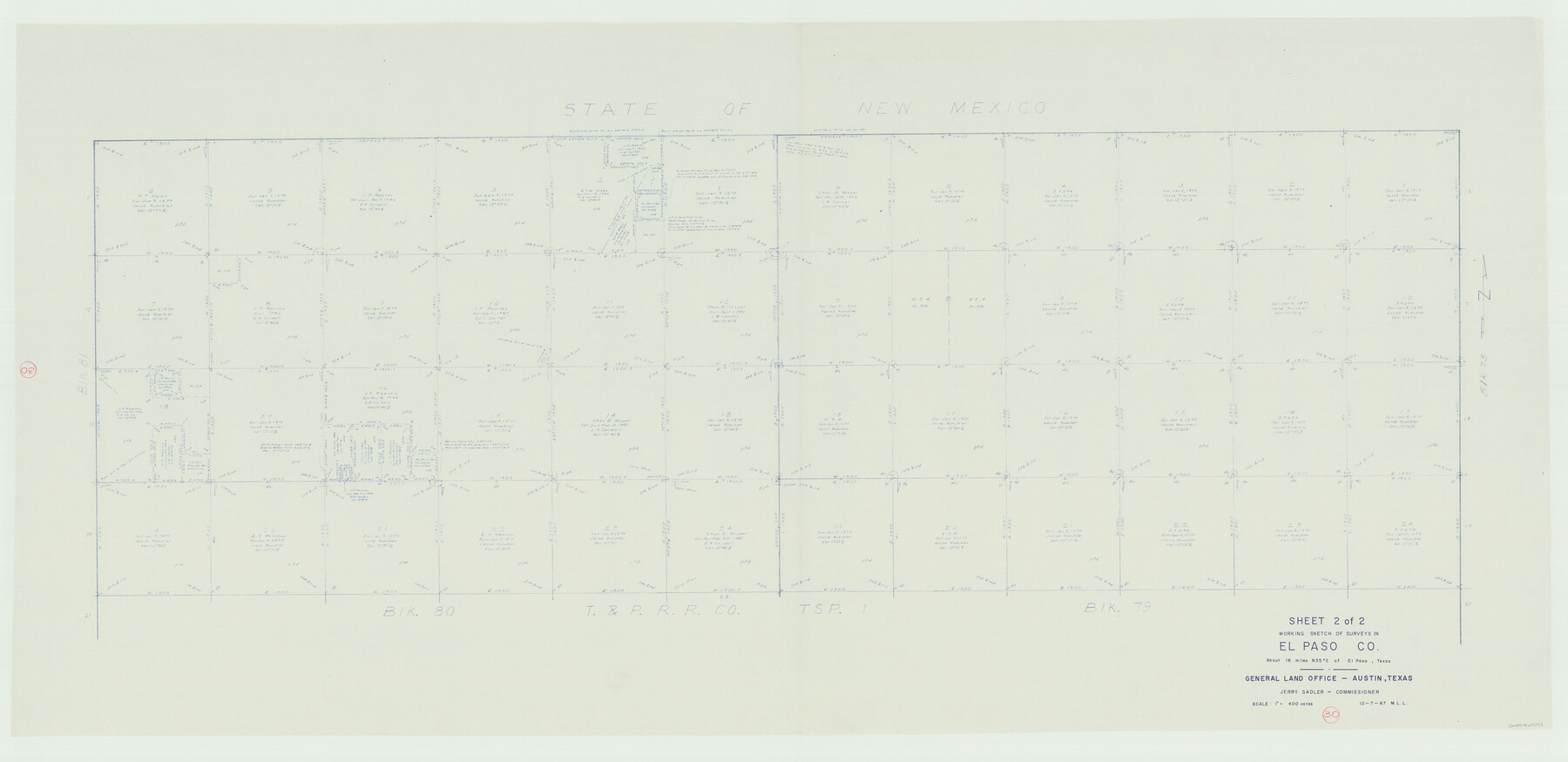
El Paso County Working Sketch 30
-
Map/Doc
69052
-
Collection
General Map Collection
-
Object Dates
12/7/1967 (Creation Date)
-
People and Organizations
M. L. Liles (Draftsman)
-
Counties
El Paso
-
Subjects
Surveying Working Sketch
-
Height x Width
32.0 x 65.8 inches
81.3 x 167.1 cm
-
Scale
1" = 400 varas
Part of: General Map Collection
Richardson's New Map of the State of Texas, corrected for the Texas Almanac to 1872

Print $20.00
- Digital $50.00
Richardson's New Map of the State of Texas, corrected for the Texas Almanac to 1872
1872
Size 18.4 x 26.4 inches
Map/Doc 93647
L'Amerique Meridionale, et Septentrionale Dressee selon les derniers Relations et suivant les Nouvelles Decouvertes

Print $20.00
- Digital $50.00
L'Amerique Meridionale, et Septentrionale Dressee selon les derniers Relations et suivant les Nouvelles Decouvertes
1726
Size 18.9 x 24.1 inches
Map/Doc 95134
City of Austin, Texas and Suburban Areas

Print $40.00
- Digital $50.00
City of Austin, Texas and Suburban Areas
1964
Size 48.3 x 34.4 inches
Map/Doc 73563
Ochiltree County Boundary File 5

Print $54.00
- Digital $50.00
Ochiltree County Boundary File 5
Size 9.3 x 8.3 inches
Map/Doc 57684
Louisiana and Texas Intracoastal Waterway - Sabine River-Galveston Bay Section, Steel Sheet Pile Dyke at Galveston Bay Entrance

Print $20.00
- Digital $50.00
Louisiana and Texas Intracoastal Waterway - Sabine River-Galveston Bay Section, Steel Sheet Pile Dyke at Galveston Bay Entrance
1933
Size 31.4 x 40.9 inches
Map/Doc 61818
Dawson County Boundary File 3 (2)

Print $40.00
- Digital $50.00
Dawson County Boundary File 3 (2)
Size 13.2 x 33.5 inches
Map/Doc 52367
Hutchinson County Rolled Sketch 43

Print $40.00
- Digital $50.00
Hutchinson County Rolled Sketch 43
1992
Size 41.3 x 50.0 inches
Map/Doc 6314
Castro County Sketch File 4m

Print $4.00
- Digital $50.00
Castro County Sketch File 4m
Size 13.6 x 8.6 inches
Map/Doc 17489
Presidio County Rolled Sketch 106

Print $20.00
- Digital $50.00
Presidio County Rolled Sketch 106
1955
Size 23.0 x 36.4 inches
Map/Doc 7387
Flight Mission No. CRC-2R, Frame 120, Chambers County

Print $20.00
- Digital $50.00
Flight Mission No. CRC-2R, Frame 120, Chambers County
1956
Size 18.5 x 22.3 inches
Map/Doc 84744
Limestone County Boundary File 59

Print $34.00
- Digital $50.00
Limestone County Boundary File 59
Size 7.4 x 8.7 inches
Map/Doc 56299
Goliad County Sketch File 6

Print $2.00
- Digital $50.00
Goliad County Sketch File 6
1857
Size 8.8 x 4.9 inches
Map/Doc 24220
You may also like
Newton County Rolled Sketch 27

Print $20.00
- Digital $50.00
Newton County Rolled Sketch 27
1961
Size 36.0 x 27.3 inches
Map/Doc 6856
Hamilton County Working Sketch 8

Print $20.00
- Digital $50.00
Hamilton County Working Sketch 8
1943
Size 27.6 x 28.5 inches
Map/Doc 63346
Montague County Working Sketch 14

Print $20.00
- Digital $50.00
Montague County Working Sketch 14
1940
Size 28.4 x 17.9 inches
Map/Doc 71080
Flight Mission No. BRA-16M, Frame 101, Jefferson County

Print $20.00
- Digital $50.00
Flight Mission No. BRA-16M, Frame 101, Jefferson County
1953
Size 18.6 x 22.4 inches
Map/Doc 85713
Childress County Sketch File 18

Print $8.00
- Digital $50.00
Childress County Sketch File 18
1909
Size 14.3 x 9.0 inches
Map/Doc 18290
Galveston County Boundary File 32a

Print $10.00
- Digital $50.00
Galveston County Boundary File 32a
Size 11.4 x 8.9 inches
Map/Doc 53666
Brazos County Working Sketch 5

Print $20.00
- Digital $50.00
Brazos County Working Sketch 5
1978
Size 23.9 x 18.4 inches
Map/Doc 67480
Crane County Sketch File 30

Print $40.00
- Digital $50.00
Crane County Sketch File 30
1933
Size 14.0 x 8.4 inches
Map/Doc 19610
[Gulf Colorado & Santa Fe from 2178+36.0 to 3901+06.2]
![64699, [Gulf Colorado & Santa Fe from 2178+36.0 to 3901+06.2], General Map Collection](https://historictexasmaps.com/wmedia_w700/maps/64699.tif.jpg)
Print $40.00
- Digital $50.00
[Gulf Colorado & Santa Fe from 2178+36.0 to 3901+06.2]
Size 31.9 x 58.9 inches
Map/Doc 64699
Flight Mission No. CLL-1N, Frame 159, Willacy County

Print $20.00
- Digital $50.00
Flight Mission No. CLL-1N, Frame 159, Willacy County
1954
Size 18.4 x 22.2 inches
Map/Doc 87050
Randall County Rolled Sketch 9B

Print $20.00
- Digital $50.00
Randall County Rolled Sketch 9B
1985
Size 45.0 x 34.5 inches
Map/Doc 9810
Flight Mission No. CGI-2N, Frame 154, Cameron County

Print $20.00
- Digital $50.00
Flight Mission No. CGI-2N, Frame 154, Cameron County
1954
Size 18.6 x 19.0 inches
Map/Doc 84536