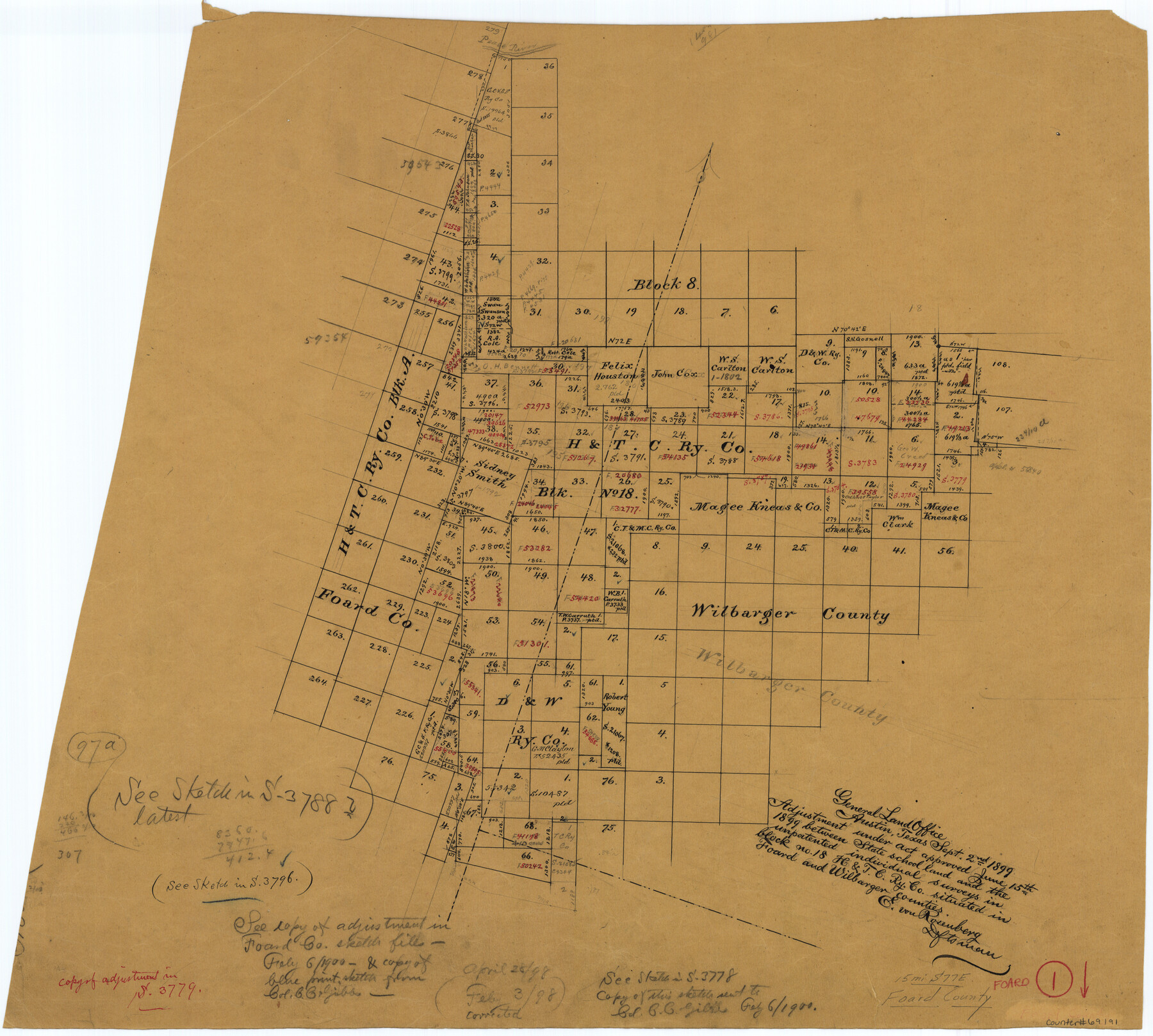
Foard County Working Sketch 1
-
Map/Doc
69191
-
Collection
General Map Collection
-
Object Dates
9/2/1899 (Creation Date)
-
People and Organizations
E. von Rosenberg (Draftsman)
-
Counties
Foard Wilbarger
-
Subjects
Surveying Working Sketch
-
Height x Width
20.5 x 22.8 inches
52.1 x 57.9 cm
Part of: General Map Collection
Walker County Working Sketch 12

Print $20.00
- Digital $50.00
Walker County Working Sketch 12
1943
Size 23.1 x 32.9 inches
Map/Doc 72292
Ector County Working Sketch 17

Print $40.00
- Digital $50.00
Ector County Working Sketch 17
1956
Size 59.9 x 24.2 inches
Map/Doc 68860
Brewster County Working Sketch 94

Print $40.00
- Digital $50.00
Brewster County Working Sketch 94
1975
Size 58.7 x 39.5 inches
Map/Doc 67694
Travis County Sketch File 67

Print $10.00
- Digital $50.00
Travis County Sketch File 67
1951
Size 14.3 x 9.0 inches
Map/Doc 38446

Archer County Working Sketch 16

Print $20.00
- Digital $50.00
Archer County Working Sketch 16
1939
Size 10.9 x 17.8 inches
Map/Doc 67157
Terrell County Rolled Sketch 49

Print $20.00
- Digital $50.00
Terrell County Rolled Sketch 49
1962
Size 17.3 x 24.1 inches
Map/Doc 7951
[Galveston, Harrisburg & San Antonio through El Paso County]
![64002, [Galveston, Harrisburg & San Antonio through El Paso County], General Map Collection](https://historictexasmaps.com/wmedia_w700/maps/64002.tif.jpg)
Print $20.00
- Digital $50.00
[Galveston, Harrisburg & San Antonio through El Paso County]
1907
Size 13.6 x 33.9 inches
Map/Doc 64002
Red River County Working Sketch 17

Print $20.00
- Digital $50.00
Red River County Working Sketch 17
1954
Size 23.2 x 18.8 inches
Map/Doc 72000
Runnels County Working Sketch 29

Print $20.00
- Digital $50.00
Runnels County Working Sketch 29
1959
Size 27.1 x 30.0 inches
Map/Doc 63625
Montague County Working Sketch 14

Print $20.00
- Digital $50.00
Montague County Working Sketch 14
1940
Size 28.4 x 17.9 inches
Map/Doc 71080
Clay County Rolled Sketch 4

Print $20.00
- Digital $50.00
Clay County Rolled Sketch 4
1949
Size 32.2 x 25.6 inches
Map/Doc 5486
You may also like
Sketch of Liberty County

Print $2.00
- Digital $50.00
Sketch of Liberty County
1841
Size 6.8 x 8.1 inches
Map/Doc 160
Upton County Rolled Sketch 3

Print $20.00
- Digital $50.00
Upton County Rolled Sketch 3
Size 30.3 x 34.1 inches
Map/Doc 8066
Flight Mission No. BQR-9K, Frame 43, Brazoria County

Print $20.00
- Digital $50.00
Flight Mission No. BQR-9K, Frame 43, Brazoria County
1952
Size 18.6 x 22.3 inches
Map/Doc 84047
Flight Mission No. CRC-1R, Frame 96, Chambers County

Print $20.00
- Digital $50.00
Flight Mission No. CRC-1R, Frame 96, Chambers County
1956
Size 18.6 x 22.3 inches
Map/Doc 84711
Pecos County Working Sketch 106

Print $40.00
- Digital $50.00
Pecos County Working Sketch 106
1971
Size 64.9 x 38.1 inches
Map/Doc 71579
General Highway Map, Val Verde County, Texas

Print $20.00
General Highway Map, Val Verde County, Texas
1940
Size 25.0 x 18.4 inches
Map/Doc 79266
La Salle County Working Sketch 4

Print $20.00
- Digital $50.00
La Salle County Working Sketch 4
1915
Size 31.6 x 36.6 inches
Map/Doc 70305
Harris County Working Sketch 55

Print $20.00
- Digital $50.00
Harris County Working Sketch 55
1950
Size 19.3 x 25.2 inches
Map/Doc 65947
Bee County Sketch File 21

Print $40.00
- Digital $50.00
Bee County Sketch File 21
Size 12.8 x 15.4 inches
Map/Doc 14312
Gillespie County Rolled Sketch O

Print $20.00
- Digital $50.00
Gillespie County Rolled Sketch O
1846
Size 42.6 x 20.0 inches
Map/Doc 6007
Clay County Sketch File 11

Print $4.00
- Digital $50.00
Clay County Sketch File 11
1870
Size 10.1 x 7.9 inches
Map/Doc 18408
[Liberty County, Texas]
![2058, [Liberty County, Texas], General Map Collection](https://historictexasmaps.com/wmedia_w700/maps/2058-1.tif.jpg)
Print $20.00
- Digital $50.00
[Liberty County, Texas]
1890
Size 23.7 x 18.3 inches
Map/Doc 2058