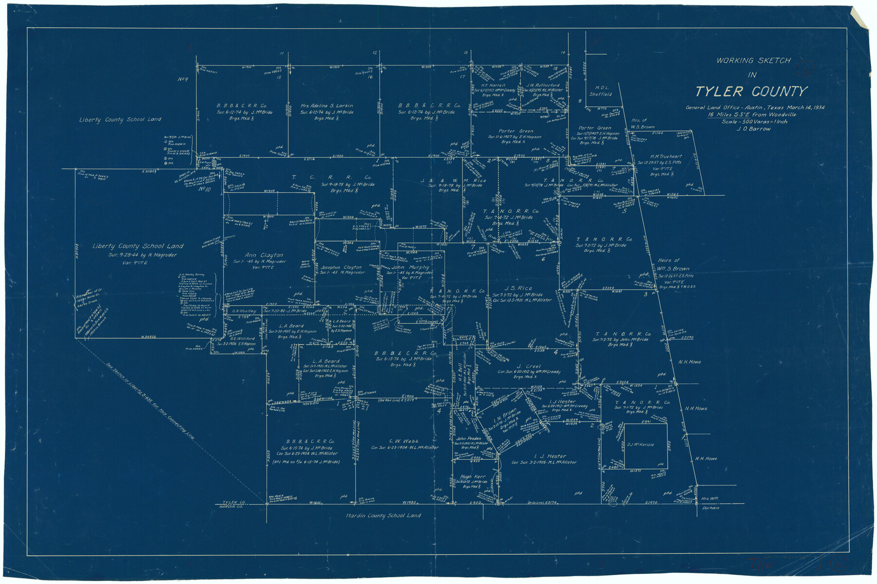
Tyler County Working Sketch 6
-
Map/Doc
69476
-
Collection
General Map Collection
-
Object Dates
3/14/1934 (Creation Date)
-
People and Organizations
J.O. Barrow (Draftsman)
-
Counties
Tyler
-
Subjects
Surveying Working Sketch
-
Height x Width
24.3 x 36.5 inches
61.7 x 92.7 cm
-
Scale
1" = 500 varas
Part of: General Map Collection

McCulloch County Sketch File 11

Print $14.00
- Digital $50.00
McCulloch County Sketch File 11
1929
Size 11.2 x 8.8 inches
Map/Doc 31191
Terry County Boundary File 5

Print $2.00
- Digital $50.00
Terry County Boundary File 5
Size 14.2 x 8.9 inches
Map/Doc 59257
Terrell County Sketch File 26

Print $38.00
- Digital $50.00
Terrell County Sketch File 26
1937
Size 10.9 x 8.2 inches
Map/Doc 37961
Texas 1986, 150 Years of Independence

Print $81.19
Texas 1986, 150 Years of Independence
1985
Size 42.0 x 46.3 inches
Map/Doc 89069


Flight Mission No. BRE-3P, Frame 77, Nueces County

Print $20.00
- Digital $50.00
Flight Mission No. BRE-3P, Frame 77, Nueces County
1956
Size 18.6 x 22.6 inches
Map/Doc 86818
Kinney County Rolled Sketch 8

Print $20.00
- Digital $50.00
Kinney County Rolled Sketch 8
Size 28.0 x 43.9 inches
Map/Doc 6537
Kimble County Working Sketch 58

Print $20.00
- Digital $50.00
Kimble County Working Sketch 58
1959
Size 12.8 x 26.4 inches
Map/Doc 70126
Harris County Working Sketch 21

Print $20.00
- Digital $50.00
Harris County Working Sketch 21
Size 14.1 x 22.6 inches
Map/Doc 65913
You may also like
General Highway Map, Calhoun County, Texas

Print $20.00
General Highway Map, Calhoun County, Texas
1940
Size 18.5 x 25.3 inches
Map/Doc 79036
[Blocks T2, T3, and K13]
![90997, [Blocks T2, T3, and K13], Twichell Survey Records](https://historictexasmaps.com/wmedia_w700/maps/90997-1.tif.jpg)
Print $20.00
- Digital $50.00
[Blocks T2, T3, and K13]
Size 20.7 x 19.9 inches
Map/Doc 90997
Wilbarger County Sketch File 8

Print $4.00
- Digital $50.00
Wilbarger County Sketch File 8
1885
Size 14.2 x 8.6 inches
Map/Doc 40179

Map of the 1st, 2nd and 3rd Sections of Houston & Texas Central Railroad

Print $40.00
- Digital $50.00
Map of the 1st, 2nd and 3rd Sections of Houston & Texas Central Railroad
Size 30.7 x 64.6 inches
Map/Doc 64478
Montgomery County Sketch File 15

Print $4.00
- Digital $50.00
Montgomery County Sketch File 15
1906
Size 9.4 x 8.5 inches
Map/Doc 31817
Cooke County Rolled Sketch 6

Print $20.00
- Digital $50.00
Cooke County Rolled Sketch 6
1981
Size 19.7 x 25.1 inches
Map/Doc 5564
Correct Map of Lamb County, Texas

Print $40.00
- Digital $50.00
Correct Map of Lamb County, Texas
1914
Size 47.1 x 57.1 inches
Map/Doc 89954
Andrews County Working Sketch 23

Print $20.00
- Digital $50.00
Andrews County Working Sketch 23
1979
Size 26.6 x 27.7 inches
Map/Doc 67069
Edwards County Boundary File 27 1/2

Print $58.00
- Digital $50.00
Edwards County Boundary File 27 1/2
Size 9.1 x 4.4 inches
Map/Doc 52911
Upton County Working Sketch 11

Print $20.00
- Digital $50.00
Upton County Working Sketch 11
1927
Size 21.8 x 38.5 inches
Map/Doc 69507
North Half, Harris County, Texas - Ownership Map with Well Data

North Half, Harris County, Texas - Ownership Map with Well Data
1948
Size 121.9 x 44.3 inches
Map/Doc 93206