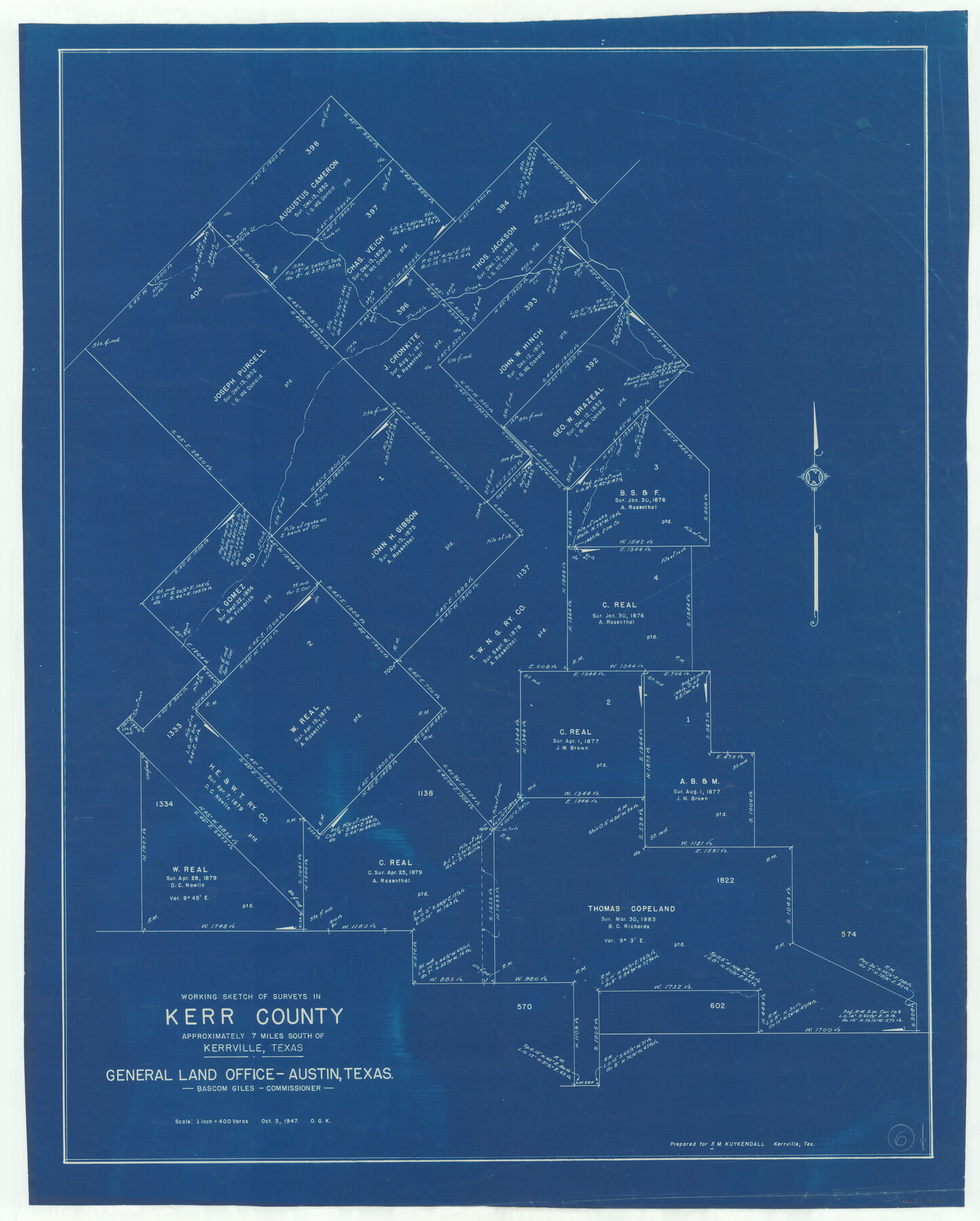
Kerr County Working Sketch 6
-
Map/Doc
70037
-
Collection
General Map Collection
-
Object Dates
10/3/1947 (Creation Date)
-
People and Organizations
Otto G. Kurio (Draftsman)
-
Counties
Kerr
-
Subjects
Surveying Working Sketch
-
Height x Width
32.8 x 26.3 inches
83.3 x 66.8 cm
-
Scale
1" = 400 varas
Part of: General Map Collection
Runnels County Sketch File 39

Print $20.00
Runnels County Sketch File 39
1891
Size 25.2 x 19.1 inches
Map/Doc 12270
Van Zandt County Sketch File 47a

Print $7.00
- Digital $50.00
Van Zandt County Sketch File 47a
1875
Size 10.0 x 8.2 inches
Map/Doc 39507
Culberson County Rolled Sketch 68

Print $20.00
- Digital $50.00
Culberson County Rolled Sketch 68
1997
Size 32.0 x 32.9 inches
Map/Doc 76402
Flight Mission No. BRE-1P, Frame 97, Nueces County

Print $20.00
- Digital $50.00
Flight Mission No. BRE-1P, Frame 97, Nueces County
1956
Size 18.3 x 22.0 inches
Map/Doc 86668
[Jack District]
![1992, [Jack District], General Map Collection](https://historictexasmaps.com/wmedia_w700/maps/1992.tif.jpg)
Print $40.00
- Digital $50.00
[Jack District]
1880
Size 52.7 x 43.4 inches
Map/Doc 1992
Stephens County Sketch File 1

Print $20.00
- Digital $50.00
Stephens County Sketch File 1
1857
Size 19.2 x 16.1 inches
Map/Doc 12347
America's Fun-Tier: Texas 1967 Official State Highway Map

Digital $50.00
America's Fun-Tier: Texas 1967 Official State Highway Map
Size 28.2 x 36.4 inches
Map/Doc 94321
Presidio County Rolled Sketch 84

Print $20.00
- Digital $50.00
Presidio County Rolled Sketch 84
1942
Size 22.7 x 33.1 inches
Map/Doc 9779
Erath County Working Sketch 46

Print $40.00
- Digital $50.00
Erath County Working Sketch 46
1983
Size 49.6 x 43.1 inches
Map/Doc 69127
Polk County Sketch File 11

Print $4.00
- Digital $50.00
Polk County Sketch File 11
Size 9.2 x 8.1 inches
Map/Doc 34142
San Saba County Sketch File 8

Print $6.00
- Digital $50.00
San Saba County Sketch File 8
Size 6.6 x 7.9 inches
Map/Doc 36430
Flight Mission No. DAG-28K, Frame 27, Matagorda County

Print $20.00
- Digital $50.00
Flight Mission No. DAG-28K, Frame 27, Matagorda County
1953
Size 16.2 x 16.1 inches
Map/Doc 86595
You may also like
Eastland County Sketch File 1

Print $8.00
- Digital $50.00
Eastland County Sketch File 1
Size 9.0 x 7.9 inches
Map/Doc 21555
Edwards County Sketch File A13

Print $20.00
- Digital $50.00
Edwards County Sketch File A13
1901
Size 22.8 x 46.6 inches
Map/Doc 10444
Midland County Working Sketch 18

Print $40.00
- Digital $50.00
Midland County Working Sketch 18
1956
Size 26.5 x 49.5 inches
Map/Doc 70998
Hudspeth County Working Sketch 45

Print $20.00
- Digital $50.00
Hudspeth County Working Sketch 45
1983
Size 34.7 x 43.2 inches
Map/Doc 66330
Flight Mission No. DCL-6C, Frame 129, Kenedy County

Print $20.00
- Digital $50.00
Flight Mission No. DCL-6C, Frame 129, Kenedy County
1943
Size 18.5 x 22.3 inches
Map/Doc 85959
Smith County Sketch File 6

Print $4.00
- Digital $50.00
Smith County Sketch File 6
1848
Size 7.2 x 8.6 inches
Map/Doc 36757
Presidio County Rolled Sketch 1

Print $20.00
- Digital $50.00
Presidio County Rolled Sketch 1
Size 24.5 x 15.7 inches
Map/Doc 7325
Map No. 1. Eastern States designed to accompany Smith's Geography for School

Print $20.00
- Digital $50.00
Map No. 1. Eastern States designed to accompany Smith's Geography for School
1850
Size 9.8 x 12.1 inches
Map/Doc 93885
Stremme General Land Office Drawings, front door

Print $20.00
Stremme General Land Office Drawings, front door
Size 27.4 x 21.9 inches
Map/Doc 79737
Flight Mission No. CRC-2R, Frame 60, Chambers County

Print $20.00
- Digital $50.00
Flight Mission No. CRC-2R, Frame 60, Chambers County
1956
Size 18.4 x 22.3 inches
Map/Doc 84731
La Salle County Sketch File 10

Print $4.00
- Digital $50.00
La Salle County Sketch File 10
1877
Size 9.0 x 7.0 inches
Map/Doc 42997
Hudspeth County Working Sketch 31

Print $40.00
- Digital $50.00
Hudspeth County Working Sketch 31
1972
Size 56.2 x 41.2 inches
Map/Doc 66314