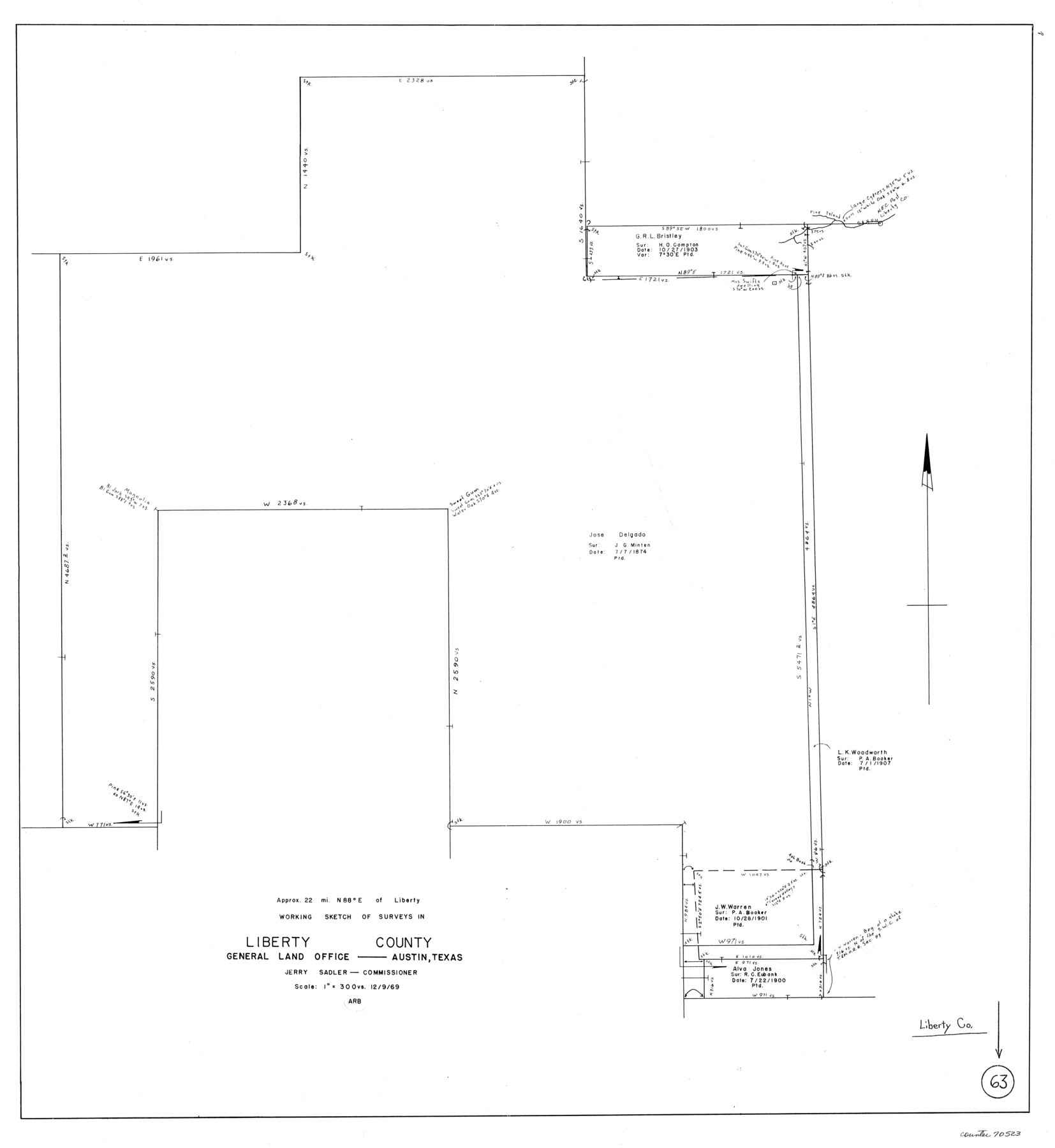
Liberty County Working Sketch 63
-
Map/Doc
70523
-
Collection
General Map Collection
-
Object Dates
12/9/1969 (Creation Date)
-
Counties
Liberty
-
Subjects
Surveying Working Sketch
-
Height x Width
31.3 x 28.7 inches
79.5 x 72.9 cm
-
Scale
1" = 300 varas
Part of: General Map Collection
Sketch of the route from the camp on the Concho River to Phantom Hill, Texas

Print $20.00
- Digital $50.00
Sketch of the route from the camp on the Concho River to Phantom Hill, Texas
1852
Size 30.0 x 11.9 inches
Map/Doc 2005
Glasscock County Sketch File 10

Print $6.00
- Digital $50.00
Glasscock County Sketch File 10
1935
Size 11.6 x 12.8 inches
Map/Doc 24172
Fort Bend County Sketch File 33

Print $20.00
- Digital $50.00
Fort Bend County Sketch File 33
1889
Size 23.6 x 24.5 inches
Map/Doc 11513
Nueces County Sketch File 78

Print $72.00
- Digital $50.00
Nueces County Sketch File 78
1996
Size 11.1 x 8.4 inches
Map/Doc 33060
Nueces County Rolled Sketch 98

Print $34.00
- Digital $50.00
Nueces County Rolled Sketch 98
1984
Size 24.5 x 36.4 inches
Map/Doc 7059
Kaufman County Sketch File 11

Print $4.00
- Digital $50.00
Kaufman County Sketch File 11
1874
Size 10.2 x 8.4 inches
Map/Doc 28645
Reagan County Rolled Sketch 21A

Print $20.00
- Digital $50.00
Reagan County Rolled Sketch 21A
1950
Size 34.8 x 43.4 inches
Map/Doc 9816
Galveston County Sketch File 33

Print $12.00
- Digital $50.00
Galveston County Sketch File 33
1934
Size 11.2 x 8.8 inches
Map/Doc 23413
Houston County

Print $20.00
- Digital $50.00
Houston County
1888
Size 24.5 x 26.1 inches
Map/Doc 3683
Edwards County Working Sketch 24

Print $20.00
- Digital $50.00
Edwards County Working Sketch 24
1942
Size 19.1 x 34.1 inches
Map/Doc 68900
Stephens County Sketch File 5

Print $6.00
- Digital $50.00
Stephens County Sketch File 5
Size 10.0 x 13.3 inches
Map/Doc 37019
Eastland County Working Sketch 51

Print $20.00
- Digital $50.00
Eastland County Working Sketch 51
1982
Size 37.7 x 39.6 inches
Map/Doc 68832
You may also like
Yoakum County Sketch File 12

Print $22.00
- Digital $50.00
Yoakum County Sketch File 12
1933
Size 13.8 x 17.8 inches
Map/Doc 40765
Cass County Rolled Sketch OF

Print $20.00
- Digital $50.00
Cass County Rolled Sketch OF
1937
Size 16.2 x 24.3 inches
Map/Doc 5414
Ward County Rolled Sketch PMY

Print $40.00
- Digital $50.00
Ward County Rolled Sketch PMY
1935
Size 14.4 x 74.5 inches
Map/Doc 10104
Brewster County Rolled Sketch 60

Print $20.00
- Digital $50.00
Brewster County Rolled Sketch 60
Size 25.0 x 37.5 inches
Map/Doc 8484
Zapata County Working Sketch 13

Print $20.00
- Digital $50.00
Zapata County Working Sketch 13
1962
Size 28.7 x 29.6 inches
Map/Doc 62064
Crockett County Rolled Sketch 91

Print $40.00
- Digital $50.00
Crockett County Rolled Sketch 91
1928
Size 26.0 x 70.5 inches
Map/Doc 8737
Flight Mission No. CRC-2R, Frame 191, Chambers County

Print $20.00
- Digital $50.00
Flight Mission No. CRC-2R, Frame 191, Chambers County
1956
Size 18.6 x 22.4 inches
Map/Doc 84769
Zavala County Sketch File 45

Print $4.00
- Digital $50.00
Zavala County Sketch File 45
1923
Size 11.5 x 8.8 inches
Map/Doc 41428
Uvalde County Working Sketch 41

Print $20.00
- Digital $50.00
Uvalde County Working Sketch 41
1975
Size 15.6 x 27.4 inches
Map/Doc 72111
Runnels County Rolled Sketch 44

Print $40.00
- Digital $50.00
Runnels County Rolled Sketch 44
Size 43.0 x 53.9 inches
Map/Doc 9871
Terrell County Rolled Sketch 29

Print $20.00
- Digital $50.00
Terrell County Rolled Sketch 29
1929
Size 27.5 x 41.9 inches
Map/Doc 7936
Map showing lines of march and border patrols, in my Mexican Border Service, 1916-1917

Print $20.00
- Digital $50.00
Map showing lines of march and border patrols, in my Mexican Border Service, 1916-1917
1916
Size 18.7 x 41.7 inches
Map/Doc 95822