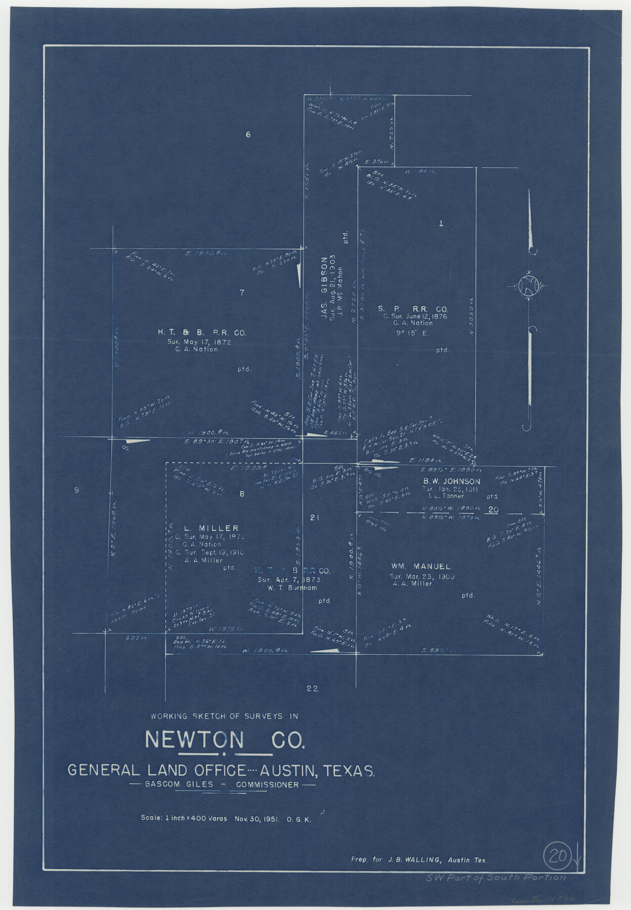
Newton County Working Sketch 20
-
Map/Doc
71266
-
Collection
General Map Collection
-
Object Dates
11/30/1951 (Creation Date)
-
People and Organizations
Otto G. Kurio (Draftsman)
-
Counties
Newton
-
Subjects
Surveying Working Sketch
-
Height x Width
22.7 x 15.7 inches
57.7 x 39.9 cm
-
Scale
1" = 400 varas
Part of: General Map Collection
Morris County Boundary File 1

Print $18.00
- Digital $50.00
Morris County Boundary File 1
Size 14.1 x 8.7 inches
Map/Doc 57473
Burnet County Sketch File 24

Print $8.00
- Digital $50.00
Burnet County Sketch File 24
1872
Size 7.9 x 10.2 inches
Map/Doc 16721
Flight Mission No. CUG-3P, Frame 81, Kleberg County

Print $20.00
- Digital $50.00
Flight Mission No. CUG-3P, Frame 81, Kleberg County
1956
Size 18.3 x 22.1 inches
Map/Doc 86256
Flight Mission No. DCL-4C, Frame 120, Kenedy County

Print $20.00
- Digital $50.00
Flight Mission No. DCL-4C, Frame 120, Kenedy County
1943
Size 18.6 x 22.5 inches
Map/Doc 85819
Ward County Sketch File 11

Print $20.00
- Digital $50.00
Ward County Sketch File 11
1943
Size 17.4 x 20.4 inches
Map/Doc 12600
Montgomery County Sketch File 23

Print $6.00
- Digital $50.00
Montgomery County Sketch File 23
1841
Size 10.2 x 10.8 inches
Map/Doc 31865
Flight Mission No. CRC-3R, Frame 48, Chambers County

Print $20.00
- Digital $50.00
Flight Mission No. CRC-3R, Frame 48, Chambers County
1956
Size 18.7 x 22.4 inches
Map/Doc 84821
Young County Boundary File 2

Print $6.00
- Digital $50.00
Young County Boundary File 2
Size 14.2 x 8.7 inches
Map/Doc 60202
San Jacinto County Working Sketch 24

Print $20.00
- Digital $50.00
San Jacinto County Working Sketch 24
1942
Size 23.1 x 38.2 inches
Map/Doc 63737
Starr County Working Sketch 22

Print $20.00
- Digital $50.00
Starr County Working Sketch 22
1983
Size 25.8 x 33.1 inches
Map/Doc 63938
Map of San Gabriel & Lampassas [sic] Surveys
![58, Map of San Gabriel & Lampassas [sic] Surveys, General Map Collection](https://historictexasmaps.com/wmedia_w700/maps/58.tif.jpg)
Print $20.00
- Digital $50.00
Map of San Gabriel & Lampassas [sic] Surveys
1841
Size 29.0 x 20.0 inches
Map/Doc 58
San Saba County Sketch File 13A

Print $20.00
- Digital $50.00
San Saba County Sketch File 13A
1891
Size 25.2 x 17.6 inches
Map/Doc 12292
You may also like
Matagorda County Sketch File 35

Print $8.00
- Digital $50.00
Matagorda County Sketch File 35
1951
Size 11.1 x 8.8 inches
Map/Doc 30823
Flight Mission No. DCL-5C, Frame 67, Kenedy County

Print $20.00
- Digital $50.00
Flight Mission No. DCL-5C, Frame 67, Kenedy County
1943
Size 18.5 x 22.2 inches
Map/Doc 85850
Kimble County Working Sketch 69

Print $20.00
- Digital $50.00
Kimble County Working Sketch 69
1965
Size 42.4 x 30.5 inches
Map/Doc 70137

Van Zandt County Working Sketch 2

Print $20.00
- Digital $50.00
Van Zandt County Working Sketch 2
1910
Size 17.8 x 11.6 inches
Map/Doc 72251
Crosby County Sketch File 4

Print $4.00
- Digital $50.00
Crosby County Sketch File 4
Size 8.6 x 12.6 inches
Map/Doc 20000
Duval County Sketch File 81

Print $18.00
- Digital $50.00
Duval County Sketch File 81
Size 11.2 x 8.8 inches
Map/Doc 21507
Leon County Rolled Sketch 6

Print $20.00
- Digital $50.00
Leon County Rolled Sketch 6
1951
Size 31.7 x 37.1 inches
Map/Doc 6596
Pecos County Sketch File 34

Print $4.00
- Digital $50.00
Pecos County Sketch File 34
Size 11.1 x 8.5 inches
Map/Doc 33714
General Highway Map, Llano County, Texas

Print $20.00
General Highway Map, Llano County, Texas
1940
Size 18.4 x 24.9 inches
Map/Doc 79178
Flight Mission No. CUG-3P, Frame 24, Kleberg County

Print $20.00
- Digital $50.00
Flight Mission No. CUG-3P, Frame 24, Kleberg County
1956
Size 18.4 x 22.3 inches
Map/Doc 86234
Brewster County Rolled Sketch 124

Print $20.00
- Digital $50.00
Brewster County Rolled Sketch 124
1975
Size 15.8 x 13.2 inches
Map/Doc 5299