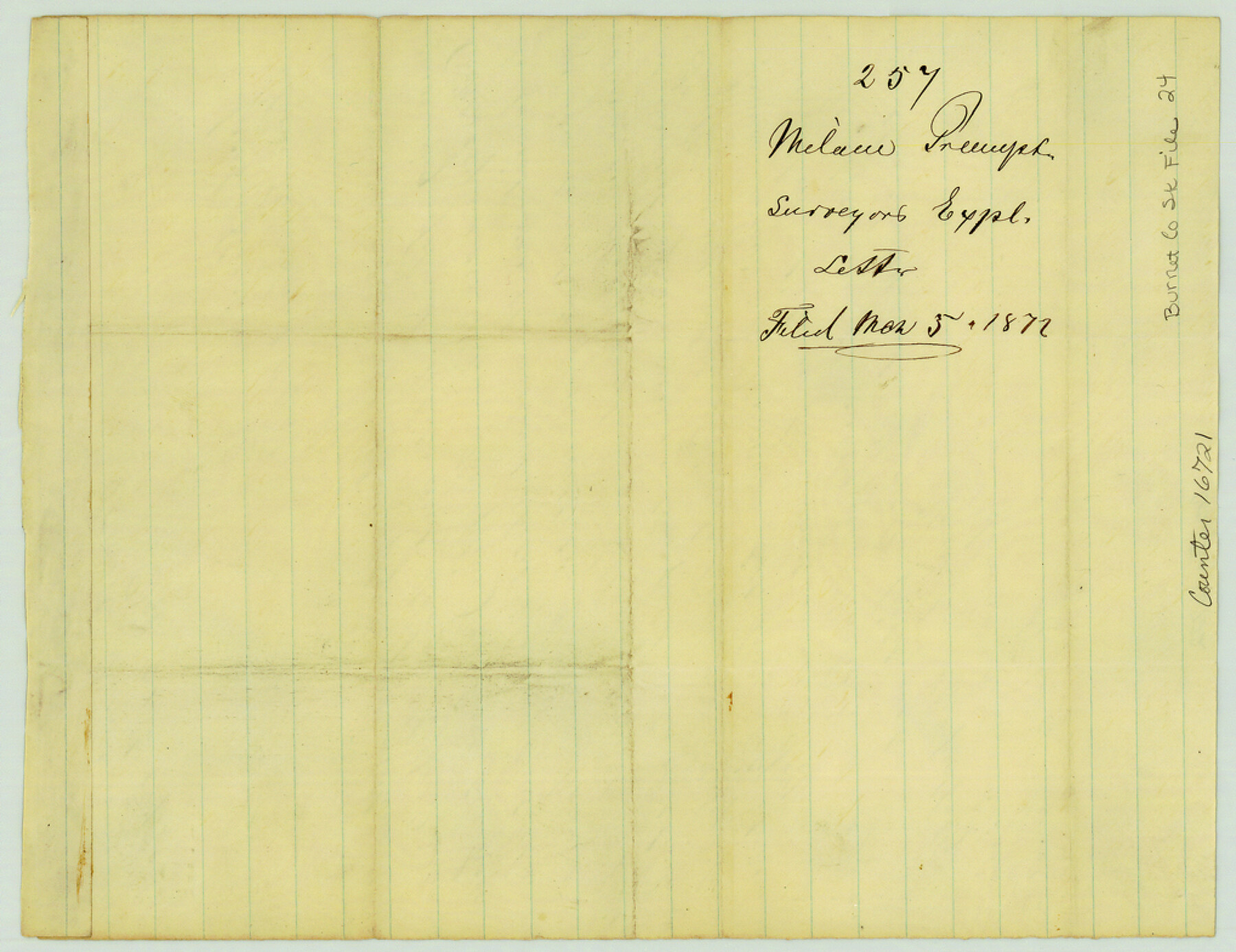
Burnet County Sketch File 24
[Surveyor's sketch and statement concerning surveys on Rocky Creek, northeast of Burnet]
-
Map/Doc
16721
-
Collection
General Map Collection
-
Object Dates
1872/2/24 (Creation Date)
1872/3/5 (File Date)
-
People and Organizations
Thomas A. Chamberlain (Surveyor/Engineer)
-
Counties
Burnet
-
Subjects
Surveying Sketch File
-
Height x Width
7.9 x 10.2 inches
20.1 x 25.9 cm
-
Medium
paper, manuscript
-
Scale
1" = 2000 varas
-
Features
Rocky Creek
Part of: General Map Collection
Brazoria County Rolled Sketch 40

Print $20.00
- Digital $50.00
Brazoria County Rolled Sketch 40
1954
Size 32.1 x 21.5 inches
Map/Doc 5175
Stonewall County Sketch File 15

Print $40.00
- Digital $50.00
Stonewall County Sketch File 15
1905
Size 14.3 x 8.7 inches
Map/Doc 37255
Floyd County Sketch File 8

Print $40.00
- Digital $50.00
Floyd County Sketch File 8
1878
Map/Doc 93784
Flight Mission No. DQO-6K, Frame 22, Galveston County

Print $20.00
- Digital $50.00
Flight Mission No. DQO-6K, Frame 22, Galveston County
1952
Size 18.8 x 22.4 inches
Map/Doc 85095
Fayette County Working Sketch Graphic Index

Print $40.00
- Digital $50.00
Fayette County Working Sketch Graphic Index
1978
Size 42.9 x 54.7 inches
Map/Doc 76541
[Sketch for Mineral Application 24072, San Jacinto River]
![65587, [Sketch for Mineral Application 24072, San Jacinto River], General Map Collection](https://historictexasmaps.com/wmedia_w700/maps/65587.tif.jpg)
Print $20.00
- Digital $50.00
[Sketch for Mineral Application 24072, San Jacinto River]
1929
Size 19.3 x 16.4 inches
Map/Doc 65587
Young County Rolled Sketch 5

Print $20.00
- Digital $50.00
Young County Rolled Sketch 5
Size 20.2 x 26.1 inches
Map/Doc 8293
Plan de la Villa de Austin

Print $20.00
- Digital $50.00
Plan de la Villa de Austin
1828
Size 18.5 x 12.5 inches
Map/Doc 94116
Hays County Sketch File 1

Print $2.00
- Digital $50.00
Hays County Sketch File 1
1856
Size 12.6 x 8.3 inches
Map/Doc 26199
Jeff Davis Co.

Print $20.00
- Digital $50.00
Jeff Davis Co.
1887
Size 37.5 x 47.9 inches
Map/Doc 4991
Calcasieu Pass to Sabine Pass

Print $20.00
- Digital $50.00
Calcasieu Pass to Sabine Pass
1950
Size 44.8 x 35.4 inches
Map/Doc 69808
Dickens County Sketch File 33

Print $10.00
- Digital $50.00
Dickens County Sketch File 33
1947
Size 14.5 x 9.1 inches
Map/Doc 21025
You may also like
El Paso County Rolled Sketch 52

Print $20.00
- Digital $50.00
El Paso County Rolled Sketch 52
1929
Size 19.1 x 24.3 inches
Map/Doc 5850
Zavala County Rolled Sketch 16

Print $20.00
- Digital $50.00
Zavala County Rolled Sketch 16
Size 19.4 x 25.4 inches
Map/Doc 8321

Wise County Sketch File 12

Print $20.00
- Digital $50.00
Wise County Sketch File 12
1854
Size 13.4 x 19.0 inches
Map/Doc 12699
Culberson County Sketch File 1b

Print $20.00
- Digital $50.00
Culberson County Sketch File 1b
Size 9.0 x 18.0 inches
Map/Doc 11260
Text (Possibly Legislative) Describing the Boundaries of Washington County, Undated

Print $20.00
Text (Possibly Legislative) Describing the Boundaries of Washington County, Undated
2020
Size 20.0 x 21.7 inches
Map/Doc 96407
[Working Sketch Showing Southwest Part of the County]
![91117, [Working Sketch Showing Southwest Part of the County], Twichell Survey Records](https://historictexasmaps.com/wmedia_w700/maps/91117-1.tif.jpg)
Print $2.00
- Digital $50.00
[Working Sketch Showing Southwest Part of the County]
1886
Size 14.9 x 9.0 inches
Map/Doc 91117
Blanco County Working Sketch 8

Print $20.00
- Digital $50.00
Blanco County Working Sketch 8
1925
Size 23.0 x 22.3 inches
Map/Doc 67368
Flight Mission No. CRC-3R, Frame 201, Chambers County

Print $20.00
- Digital $50.00
Flight Mission No. CRC-3R, Frame 201, Chambers County
1956
Size 18.6 x 22.4 inches
Map/Doc 84856
Isham Tubbs Estate

Print $3.00
- Digital $50.00
Isham Tubbs Estate
1947
Size 15.5 x 9.3 inches
Map/Doc 92304
Crosby County Working Sketch 12

Print $20.00
- Digital $50.00
Crosby County Working Sketch 12
1953
Size 26.0 x 29.8 inches
Map/Doc 68446
Nueces County Rolled Sketch 45

Print $20.00
- Digital $50.00
Nueces County Rolled Sketch 45
1941
Size 40.5 x 45.0 inches
Map/Doc 10295