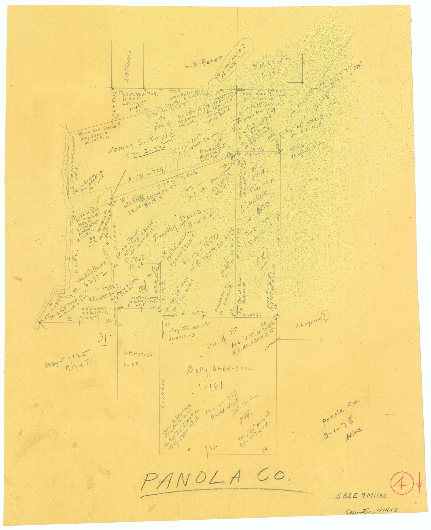
Panola County Working Sketch 4
-
Map/Doc
71413
-
Collection
General Map Collection
-
Object Dates
3/1/1938 (Creation Date)
-
People and Organizations
Tom Atlee (Draftsman)
-
Counties
Panola
-
Subjects
Surveying Working Sketch
Part of: General Map Collection
St. Louis Southwestern Railway of Texas

Print $20.00
- Digital $50.00
St. Louis Southwestern Railway of Texas
1906
Size 22.2 x 30.5 inches
Map/Doc 64451
Travis County Sketch File 21

Print $4.00
- Digital $50.00
Travis County Sketch File 21
1875
Size 12.8 x 8.4 inches
Map/Doc 38325
Upton County Rolled Sketch 16

Print $20.00
- Digital $50.00
Upton County Rolled Sketch 16
1927
Size 18.9 x 37.7 inches
Map/Doc 8071
Bee County Sketch File 16

Print $4.00
- Digital $50.00
Bee County Sketch File 16
1878
Size 8.6 x 7.7 inches
Map/Doc 14299
Lampasas County Boundary File 1

Print $4.00
- Digital $50.00
Lampasas County Boundary File 1
Size 10.2 x 8.2 inches
Map/Doc 56093
Brooks County Rolled Sketch 16

Print $20.00
- Digital $50.00
Brooks County Rolled Sketch 16
1941
Size 18.0 x 18.8 inches
Map/Doc 5341
Dickens County Sketch File J

Print $12.00
- Digital $50.00
Dickens County Sketch File J
1904
Size 11.6 x 9.1 inches
Map/Doc 20883
Henderson County Working Sketch 15

Print $20.00
- Digital $50.00
Henderson County Working Sketch 15
1935
Size 18.3 x 18.1 inches
Map/Doc 66148
Ellis County Sketch File 5

Print $4.00
- Digital $50.00
Ellis County Sketch File 5
Size 10.3 x 8.2 inches
Map/Doc 21834
Menard County Working Sketch 24

Print $20.00
- Digital $50.00
Menard County Working Sketch 24
1950
Size 38.1 x 22.6 inches
Map/Doc 70971
Current Miscellaneous File 63

Print $6.00
- Digital $50.00
Current Miscellaneous File 63
1957
Size 14.1 x 8.8 inches
Map/Doc 74100
Flight Mission No. BRA-7M, Frame 125, Jefferson County

Print $20.00
- Digital $50.00
Flight Mission No. BRA-7M, Frame 125, Jefferson County
1953
Size 16.3 x 16.1 inches
Map/Doc 85519
You may also like
Hutchinson County Working Sketch 19

Print $20.00
- Digital $50.00
Hutchinson County Working Sketch 19
1960
Size 18.8 x 18.3 inches
Map/Doc 66379
[Sketch of surveys in Val Verde County]
![5048, [Sketch of surveys in Val Verde County], Maddox Collection](https://historictexasmaps.com/wmedia_w700/maps/5048.tif.jpg)
Print $20.00
- Digital $50.00
[Sketch of surveys in Val Verde County]
Size 17.3 x 17.1 inches
Map/Doc 5048
Guadalupe County Sketch File 16

Print $22.00
- Digital $50.00
Guadalupe County Sketch File 16
Size 15.7 x 12.4 inches
Map/Doc 24694
Surveys along the Leona River in the County of Bexar not yet connected with other surveys

Print $20.00
- Digital $50.00
Surveys along the Leona River in the County of Bexar not yet connected with other surveys
Size 21.8 x 28.7 inches
Map/Doc 70
Crosby County Sketch File 25

Print $12.00
- Digital $50.00
Crosby County Sketch File 25
1912
Size 11.2 x 8.7 inches
Map/Doc 20093
Castro County Working Sketch 1

Print $20.00
- Digital $50.00
Castro County Working Sketch 1
Size 22.8 x 17.7 inches
Map/Doc 67896
Trinity River, Crandell Sheet/East Fork of Trinity River

Print $20.00
- Digital $50.00
Trinity River, Crandell Sheet/East Fork of Trinity River
1921
Size 42.0 x 35.5 inches
Map/Doc 65188
Flight Mission No. BRA-16M, Frame 55, Jefferson County

Print $20.00
- Digital $50.00
Flight Mission No. BRA-16M, Frame 55, Jefferson County
1953
Size 18.4 x 22.4 inches
Map/Doc 85672
Medina County Rolled Sketch 16

Print $20.00
- Digital $50.00
Medina County Rolled Sketch 16
1984
Size 44.4 x 38.0 inches
Map/Doc 9507
Flight Mission No. CRC-3R, Frame 7, Chambers County

Print $20.00
- Digital $50.00
Flight Mission No. CRC-3R, Frame 7, Chambers County
1956
Size 18.6 x 22.3 inches
Map/Doc 84781
Shores of Laguna Madre, Texas from Triangulation Station Camp No. 2 to Triangulation Station Peat ID

Print $40.00
- Digital $50.00
Shores of Laguna Madre, Texas from Triangulation Station Camp No. 2 to Triangulation Station Peat ID
1882
Size 54.8 x 32.3 inches
Map/Doc 73482
Flight Mission No. CLL-1N, Frame 187, Willacy County

Print $20.00
- Digital $50.00
Flight Mission No. CLL-1N, Frame 187, Willacy County
1954
Size 18.4 x 22.1 inches
Map/Doc 87057