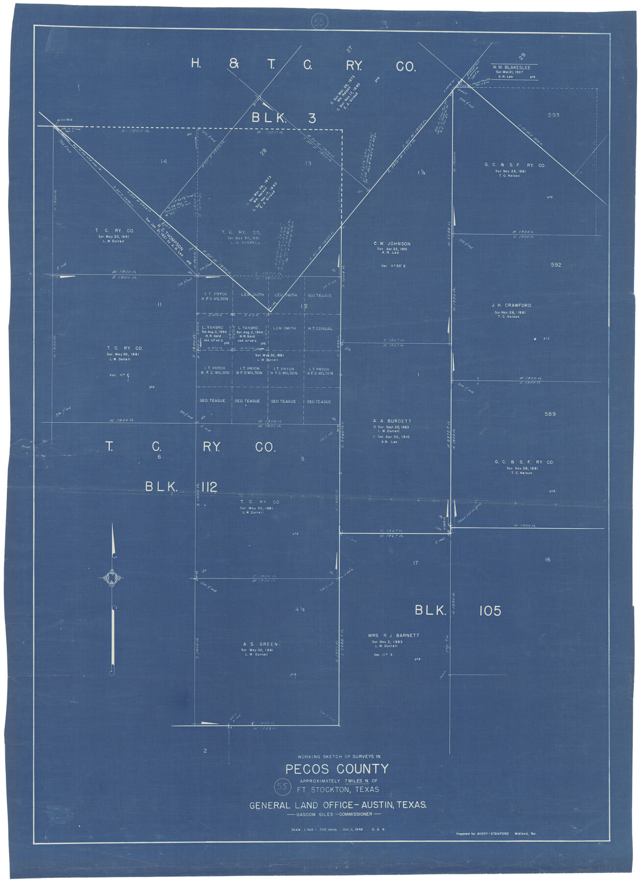
Pecos County Working Sketch 55
-
Map/Doc
71527
-
Collection
General Map Collection
-
Object Dates
10/11/1948 (Creation Date)
-
People and Organizations
Otto G. Kurio (Draftsman)
-
Counties
Pecos
-
Subjects
Surveying Working Sketch
-
Height x Width
38.4 x 27.7 inches
97.5 x 70.4 cm
-
Scale
1" = 300 varas
Part of: General Map Collection
Titus County Boundary File 29

Print $72.00
- Digital $50.00
Titus County Boundary File 29
Size 9.0 x 4.1 inches
Map/Doc 59311
Pecos County Working Sketch 142

Print $40.00
- Digital $50.00
Pecos County Working Sketch 142
2007
Size 38.0 x 63.4 inches
Map/Doc 88610
[St. L. S-W. Ry. of Texas Map of Lufkin Branch in Angelina County, Texas]
![64561, [St. L. S-W. Ry. of Texas Map of Lufkin Branch in Angelina County, Texas], General Map Collection](https://historictexasmaps.com/wmedia_w700/maps/64561-1.tif.jpg)
Print $40.00
- Digital $50.00
[St. L. S-W. Ry. of Texas Map of Lufkin Branch in Angelina County, Texas]
1913
Size 25.4 x 121.3 inches
Map/Doc 64561
Harrison County State Real Property Sketch 2

Print $20.00
- Digital $50.00
Harrison County State Real Property Sketch 2
1986
Size 23.9 x 25.0 inches
Map/Doc 61667
Parker County Rolled Sketch 4

Print $20.00
- Digital $50.00
Parker County Rolled Sketch 4
Size 28.0 x 34.1 inches
Map/Doc 7205
Flight Mission No. BRA-16M, Frame 110, Jefferson County

Print $20.00
- Digital $50.00
Flight Mission No. BRA-16M, Frame 110, Jefferson County
1953
Size 18.6 x 22.4 inches
Map/Doc 85720
Galveston County

Print $40.00
- Digital $50.00
Galveston County
1939
Size 42.9 x 54.9 inches
Map/Doc 77287
Eastland County Working Sketch 39

Print $20.00
- Digital $50.00
Eastland County Working Sketch 39
1969
Size 43.0 x 37.4 inches
Map/Doc 68820
Concho County Rolled Sketch 13

Print $20.00
- Digital $50.00
Concho County Rolled Sketch 13
1958
Size 23.7 x 20.3 inches
Map/Doc 78461
Calhoun County Sketch File 8

Print $12.00
- Digital $50.00
Calhoun County Sketch File 8
1948
Size 14.2 x 9.0 inches
Map/Doc 35930
Wise County Sketch File 21

Print $4.00
- Digital $50.00
Wise County Sketch File 21
1860
Size 5.6 x 7.9 inches
Map/Doc 40564
Montgomery County Working Sketch 52

Print $20.00
- Digital $50.00
Montgomery County Working Sketch 52
1960
Size 37.8 x 43.3 inches
Map/Doc 71159
You may also like
Bell County Sketch File 27

Print $4.00
- Digital $50.00
Bell County Sketch File 27
1870
Size 8.9 x 9.4 inches
Map/Doc 14435
Somervell County Working Sketch 6

Print $20.00
- Digital $50.00
Somervell County Working Sketch 6
1992
Size 23.2 x 21.5 inches
Map/Doc 63910
Brazoria County Rolled Sketch 32

Print $20.00
- Digital $50.00
Brazoria County Rolled Sketch 32
Size 29.1 x 22.6 inches
Map/Doc 5170
Brazos River, Gurley Sheet

Print $6.00
- Digital $50.00
Brazos River, Gurley Sheet
1929
Size 33.1 x 30.2 inches
Map/Doc 65282
Topographical Map of the Rio Grande, Sheet No. 11

Print $20.00
- Digital $50.00
Topographical Map of the Rio Grande, Sheet No. 11
1912
Map/Doc 89535
Cherokee County Sketch File 4

Print $7.00
- Digital $50.00
Cherokee County Sketch File 4
1850
Size 10.3 x 8.2 inches
Map/Doc 18117
Harris County Working Sketch 98

Print $20.00
- Digital $50.00
Harris County Working Sketch 98
1979
Size 44.2 x 28.4 inches
Map/Doc 65990
Flight Mission No. DQO-2K, Frame 136, Galveston County

Print $20.00
- Digital $50.00
Flight Mission No. DQO-2K, Frame 136, Galveston County
1952
Size 18.8 x 22.6 inches
Map/Doc 85033
Runnels County Working Sketch 9

Print $40.00
- Digital $50.00
Runnels County Working Sketch 9
1948
Size 48.8 x 30.1 inches
Map/Doc 69712
Flight Mission No. DCL-6C, Frame 174, Kenedy County

Print $20.00
- Digital $50.00
Flight Mission No. DCL-6C, Frame 174, Kenedy County
1943
Size 18.7 x 22.3 inches
Map/Doc 85986
Shelby County Sketch File 25

Print $6.00
- Digital $50.00
Shelby County Sketch File 25
Size 4.8 x 5.3 inches
Map/Doc 36657
Ward County Rolled Sketch 20

Print $20.00
- Digital $50.00
Ward County Rolled Sketch 20
1950
Size 27.4 x 22.7 inches
Map/Doc 8162