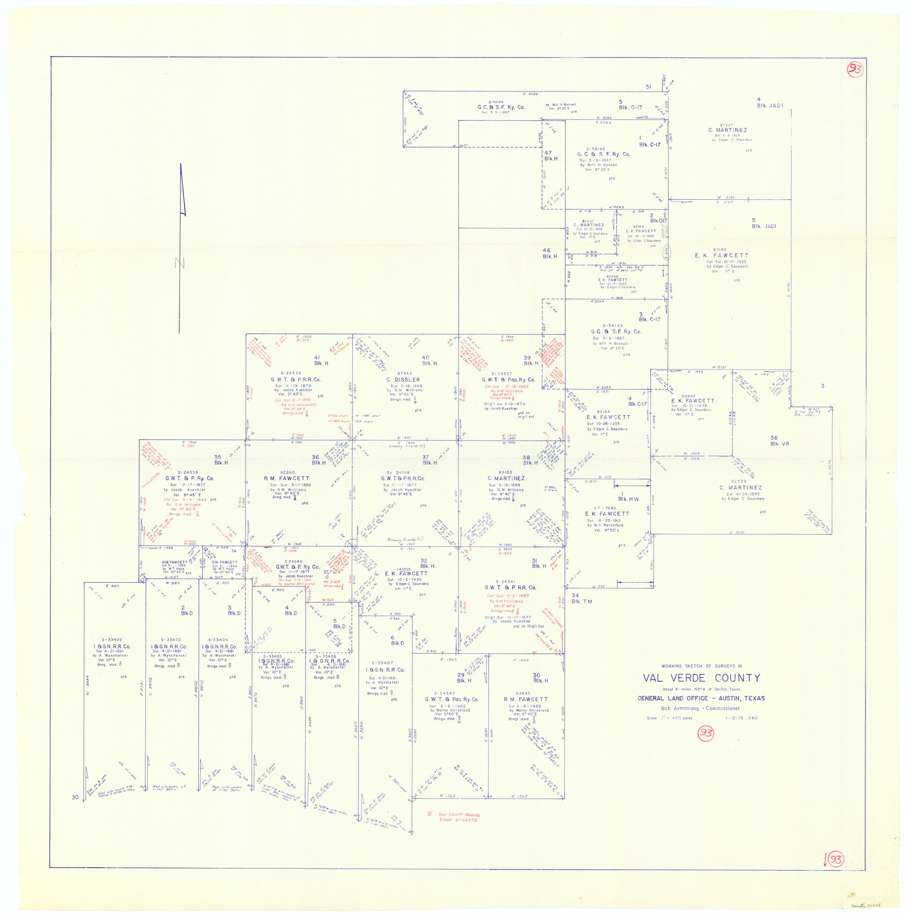
Val Verde County Working Sketch 93
-
Map/Doc
72228
-
Collection
General Map Collection
-
Object Dates
1/12/1976 (Creation Date)
-
People and Organizations
Preston R. Connally (Draftsman)
-
Counties
Val Verde
-
Subjects
Surveying Working Sketch
-
Height x Width
40.9 x 40.6 inches
103.9 x 103.1 cm
-
Scale
1" = 400 varas
Part of: General Map Collection
Panola County Sketch File 18

Print $20.00
- Digital $50.00
Panola County Sketch File 18
1909
Size 24.2 x 18.7 inches
Map/Doc 12138
Montgomery Co.

Print $40.00
- Digital $50.00
Montgomery Co.
1943
Size 45.2 x 54.8 inches
Map/Doc 95594
Map of Lee County

Print $20.00
- Digital $50.00
Map of Lee County
1888
Size 42.1 x 39.8 inches
Map/Doc 16876
Nacogdoches County Sketch File 11

Print $2.00
- Digital $50.00
Nacogdoches County Sketch File 11
Size 8.0 x 8.8 inches
Map/Doc 32255
Morris County Rolled Sketch 2A

Print $20.00
- Digital $50.00
Morris County Rolled Sketch 2A
Size 22.2 x 17.3 inches
Map/Doc 10265

Howard County Rolled Sketch 4

Print $20.00
- Digital $50.00
Howard County Rolled Sketch 4
1909
Size 35.6 x 27.4 inches
Map/Doc 6233
Medina County Sketch File 22

Print $38.00
- Digital $50.00
Medina County Sketch File 22
2007
Size 11.0 x 8.5 inches
Map/Doc 93633
Smith County Sketch File 9

Print $6.00
- Digital $50.00
Smith County Sketch File 9
1848
Size 16.2 x 10.4 inches
Map/Doc 36763
Milam County Working Sketch 14

Print $20.00
- Digital $50.00
Milam County Working Sketch 14
1904
Size 28.2 x 16.7 inches
Map/Doc 71029
Loving County Working Sketch 21

Print $20.00
- Digital $50.00
Loving County Working Sketch 21
1984
Size 26.7 x 36.0 inches
Map/Doc 70655
Travis County Rolled Sketch 45

Print $20.00
- Digital $50.00
Travis County Rolled Sketch 45
Size 19.1 x 25.0 inches
Map/Doc 8042
You may also like
Webb County Working Sketch 38

Print $20.00
- Digital $50.00
Webb County Working Sketch 38
1941
Size 20.0 x 17.8 inches
Map/Doc 72403
Brewster County Rolled Sketch 144

Print $40.00
- Digital $50.00
Brewster County Rolled Sketch 144
Size 51.7 x 48.3 inches
Map/Doc 8526
[T. & P. "B" Blocks, Tsp. 1S, Tsp. 2S, Tsp. 3S. And Tsp. 4S]
![89774, [T. & P. "B" Blocks, Tsp. 1S, Tsp. 2S, Tsp. 3S. And Tsp. 4S], Twichell Survey Records](https://historictexasmaps.com/wmedia_w700/maps/89774-1.tif.jpg)
Print $40.00
- Digital $50.00
[T. & P. "B" Blocks, Tsp. 1S, Tsp. 2S, Tsp. 3S. And Tsp. 4S]
Size 56.1 x 43.3 inches
Map/Doc 89774
Atascosa County Rolled Sketch 22

Print $40.00
- Digital $50.00
Atascosa County Rolled Sketch 22
1917
Size 26.1 x 57.2 inches
Map/Doc 8918
Fractional Township No. 7 South Range No. 7 West of the Indian Meridian, Indian Territory

Print $20.00
- Digital $50.00
Fractional Township No. 7 South Range No. 7 West of the Indian Meridian, Indian Territory
1898
Size 19.2 x 24.4 inches
Map/Doc 75168
Dallas County Working Sketch 3

Print $20.00
- Digital $50.00
Dallas County Working Sketch 3
1922
Size 14.2 x 12.2 inches
Map/Doc 68569
Val Verde County Working Sketch 57

Print $20.00
- Digital $50.00
Val Verde County Working Sketch 57
1958
Size 29.2 x 31.0 inches
Map/Doc 72192
Houston County

Print $20.00
- Digital $50.00
Houston County
1868
Size 24.3 x 25.0 inches
Map/Doc 4568
Flight Mission No. BQR-13K, Frame 22, Brazoria County

Print $20.00
- Digital $50.00
Flight Mission No. BQR-13K, Frame 22, Brazoria County
1952
Size 18.9 x 22.4 inches
Map/Doc 84070
Brazoria County Rolled Sketch 34

Print $20.00
- Digital $50.00
Brazoria County Rolled Sketch 34
1944
Size 29.8 x 18.3 inches
Map/Doc 5171
Live Oak County Boundary File 60d

Print $4.00
- Digital $50.00
Live Oak County Boundary File 60d
Size 14.2 x 8.8 inches
Map/Doc 56423
Flight Mission No. DCL-7C, Frame 37, Kenedy County

Print $20.00
- Digital $50.00
Flight Mission No. DCL-7C, Frame 37, Kenedy County
1943
Size 15.4 x 15.3 inches
Map/Doc 86025