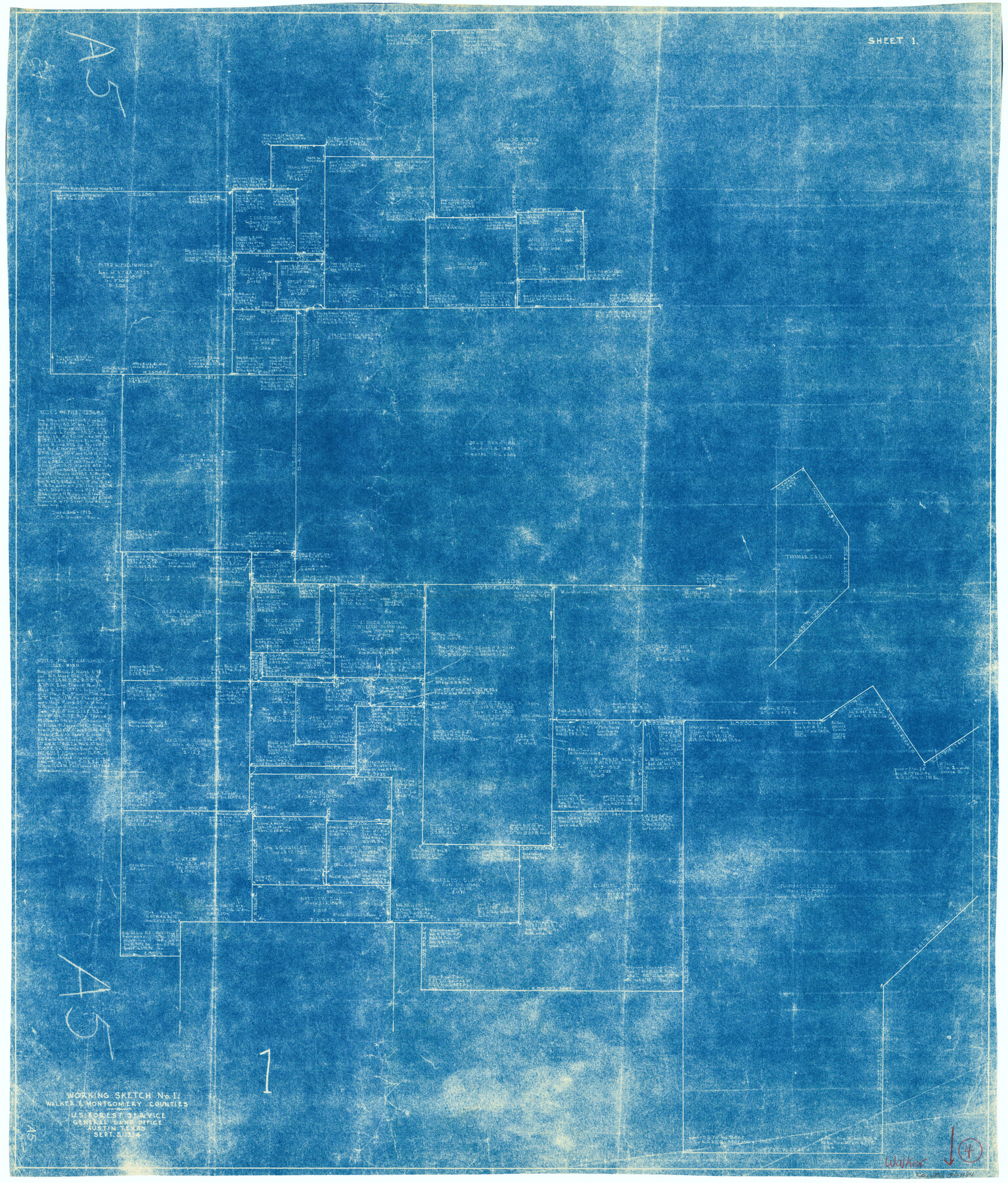
Walker County Working Sketch 4
-
Map/Doc
72284
-
Collection
General Map Collection
-
Object Dates
9/5/1934 (Creation Date)
-
People and Organizations
U.S. Forest Service (Draftsman)
-
Counties
Walker Montgomery
-
Subjects
Surveying Working Sketch
-
Height x Width
34.9 x 29.7 inches
88.7 x 75.4 cm
Part of: General Map Collection
Flight Mission No. CLL-3N, Frame 9, Willacy County

Print $20.00
- Digital $50.00
Flight Mission No. CLL-3N, Frame 9, Willacy County
1954
Size 18.5 x 22.3 inches
Map/Doc 87075
Scurry County Working Sketch Graphic Index

Print $20.00
- Digital $50.00
Scurry County Working Sketch Graphic Index
1921
Size 39.9 x 37.0 inches
Map/Doc 76695
Rockwall County Boundary File 75a

Print $10.00
- Digital $50.00
Rockwall County Boundary File 75a
Size 13.0 x 8.2 inches
Map/Doc 58481
Packery Channel

Print $20.00
- Digital $50.00
Packery Channel
1958
Size 29.5 x 37.5 inches
Map/Doc 2992
Lipscomb County Boundary File 14

Print $62.00
- Digital $50.00
Lipscomb County Boundary File 14
Size 13.3 x 8.8 inches
Map/Doc 56355
Andrews County Rolled Sketch 11A

Print $20.00
- Digital $50.00
Andrews County Rolled Sketch 11A
1933
Size 28.1 x 37.4 inches
Map/Doc 77162
Dickens County Sketch File F

Print $4.00
- Digital $50.00
Dickens County Sketch File F
1901
Size 6.9 x 10.7 inches
Map/Doc 20847
McMullen County Working Sketch 49

Print $20.00
- Digital $50.00
McMullen County Working Sketch 49
1983
Size 12.8 x 14.6 inches
Map/Doc 70750
Comanche County Sketch File 2

Print $40.00
- Digital $50.00
Comanche County Sketch File 2
1849
Size 16.0 x 12.9 inches
Map/Doc 19053
Orange County Working Sketch 15

Print $20.00
- Digital $50.00
Orange County Working Sketch 15
1928
Size 19.3 x 24.6 inches
Map/Doc 71347
San Jacinto River and Tributaries, Texas - Survey of 1939

Print $20.00
- Digital $50.00
San Jacinto River and Tributaries, Texas - Survey of 1939
1939
Size 28.0 x 40.3 inches
Map/Doc 60307
Polk County Working Sketch 16

Print $20.00
- Digital $50.00
Polk County Working Sketch 16
1947
Size 45.7 x 27.3 inches
Map/Doc 71631
You may also like
Ellis County Boundary File 6

Print $22.00
- Digital $50.00
Ellis County Boundary File 6
Size 8.6 x 6.0 inches
Map/Doc 52992
Flight Mission No. DQO-1K, Frame 94, Galveston County

Print $20.00
- Digital $50.00
Flight Mission No. DQO-1K, Frame 94, Galveston County
1952
Size 18.9 x 22.6 inches
Map/Doc 84990
[Blocks J, 24, 5, 8, 2, 1 and vicinity]
![92663, [Blocks J, 24, 5, 8, 2, 1 and vicinity], Twichell Survey Records](https://historictexasmaps.com/wmedia_w700/maps/92663-1.tif.jpg)
Print $40.00
- Digital $50.00
[Blocks J, 24, 5, 8, 2, 1 and vicinity]
Size 54.0 x 32.2 inches
Map/Doc 92663
Bexar County Working Sketch 22

Print $20.00
- Digital $50.00
Bexar County Working Sketch 22
1986
Size 16.3 x 16.1 inches
Map/Doc 67338
[Sketch showing School Lands]
![90448, [Sketch showing School Lands], Twichell Survey Records](https://historictexasmaps.com/wmedia_w700/maps/90448-1.tif.jpg)
Print $20.00
- Digital $50.00
[Sketch showing School Lands]
Size 16.3 x 12.2 inches
Map/Doc 90448
Flight Mission No. DIX-8P, Frame 60, Aransas County

Print $20.00
- Digital $50.00
Flight Mission No. DIX-8P, Frame 60, Aransas County
1956
Size 18.5 x 22.2 inches
Map/Doc 83891
Garza County Sketch File 1

Print $4.00
- Digital $50.00
Garza County Sketch File 1
1879
Size 9.2 x 8.1 inches
Map/Doc 24044
Dallas County Sketch File 9

Print $4.00
- Digital $50.00
Dallas County Sketch File 9
1858
Size 12.2 x 8.1 inches
Map/Doc 20412
Flight Mission No. DQN-5K, Frame 33, Calhoun County

Print $20.00
- Digital $50.00
Flight Mission No. DQN-5K, Frame 33, Calhoun County
1953
Size 18.5 x 22.3 inches
Map/Doc 84384
Mustang Island, Nueces County

Print $20.00
- Digital $50.00
Mustang Island, Nueces County
1952
Size 39.5 x 35.4 inches
Map/Doc 1918
Flight Mission No. BQY-4M, Frame 33, Harris County

Print $20.00
- Digital $50.00
Flight Mission No. BQY-4M, Frame 33, Harris County
1953
Size 18.7 x 22.4 inches
Map/Doc 85248
