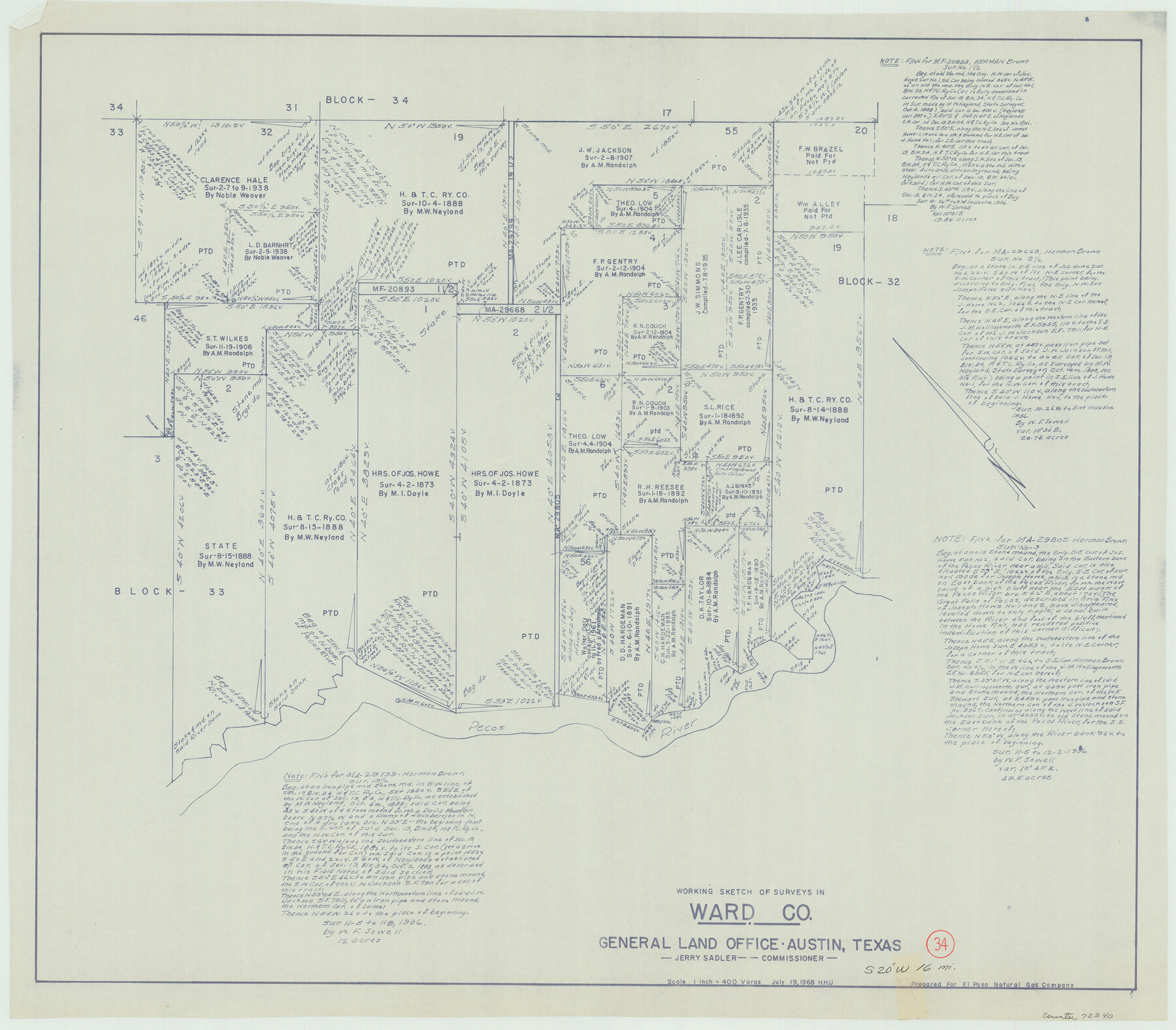
Ward County Working Sketch 34
-
Map/Doc
72340
-
Collection
General Map Collection
-
Object Dates
7/19/1968 (Creation Date)
-
People and Organizations
Herbert H. Ulbricht (Draftsman)
-
Counties
Ward
-
Subjects
Surveying Working Sketch
-
Height x Width
26.7 x 30.5 inches
67.8 x 77.5 cm
-
Scale
1" = 400 varas
Part of: General Map Collection
Randall County Rolled Sketch 7

Print $20.00
- Digital $50.00
Randall County Rolled Sketch 7
1949
Size 18.9 x 22.1 inches
Map/Doc 7427
Upton County Working Sketch 52

Print $20.00
- Digital $50.00
Upton County Working Sketch 52
1983
Size 20.9 x 20.2 inches
Map/Doc 69549
Cherokee County Working Sketch 1

Print $20.00
- Digital $50.00
Cherokee County Working Sketch 1
1925
Size 22.9 x 24.1 inches
Map/Doc 67956
Cameron County Aerial Photograph Index Sheet 7

Print $20.00
- Digital $50.00
Cameron County Aerial Photograph Index Sheet 7
1955
Size 21.8 x 16.2 inches
Map/Doc 83679
Harrison County Working Sketch 21

Print $40.00
- Digital $50.00
Harrison County Working Sketch 21
1982
Size 37.6 x 49.9 inches
Map/Doc 66041
Pecos County Rolled Sketch 6

Print $20.00
- Digital $50.00
Pecos County Rolled Sketch 6
Size 43.6 x 31.2 inches
Map/Doc 9680
Culberson County Rolled Sketch 10

Print $20.00
- Digital $50.00
Culberson County Rolled Sketch 10
1893
Size 16.4 x 25.9 inches
Map/Doc 5647
[Sketch for Mineral Application 33721 - 33725 Incl. - Padre and Mustang Island]
![2878, [Sketch for Mineral Application 33721 - 33725 Incl. - Padre and Mustang Island], General Map Collection](https://historictexasmaps.com/wmedia_w700/maps/2878.tif.jpg)
Print $20.00
- Digital $50.00
[Sketch for Mineral Application 33721 - 33725 Incl. - Padre and Mustang Island]
1942
Size 29.8 x 22.7 inches
Map/Doc 2878
Flight Mission No. CRC-4R, Frame 78, Chambers County

Print $20.00
- Digital $50.00
Flight Mission No. CRC-4R, Frame 78, Chambers County
1956
Size 18.7 x 22.5 inches
Map/Doc 84882
Current Miscellaneous File 16

Print $20.00
- Digital $50.00
Current Miscellaneous File 16
1951
Size 10.7 x 8.2 inches
Map/Doc 73830
McCulloch County Rolled Sketch 7

Print $20.00
- Digital $50.00
McCulloch County Rolled Sketch 7
1982
Size 20.7 x 30.5 inches
Map/Doc 6718
Flight Mission No. BQR-5K, Frame 75, Brazoria County

Print $20.00
- Digital $50.00
Flight Mission No. BQR-5K, Frame 75, Brazoria County
1952
Size 18.8 x 22.4 inches
Map/Doc 84020
You may also like
Uvalde County Rolled Sketch 10

Print $20.00
- Digital $50.00
Uvalde County Rolled Sketch 10
Size 23.5 x 16.1 inches
Map/Doc 8095
Schleicher County Rolled Sketch 25

Print $20.00
- Digital $50.00
Schleicher County Rolled Sketch 25
1969
Size 32.3 x 37.9 inches
Map/Doc 9908
Bandera County Sketch File 31

Print $40.00
- Digital $50.00
Bandera County Sketch File 31
1949
Size 17.7 x 22.2 inches
Map/Doc 10900
Flight Mission No. DQO-2K, Frame 138, Galveston County

Print $20.00
- Digital $50.00
Flight Mission No. DQO-2K, Frame 138, Galveston County
1952
Size 18.8 x 22.6 inches
Map/Doc 85035
Lebanon Quadrangle

Print $20.00
- Digital $50.00
Lebanon Quadrangle
1999
Size 35.4 x 23.4 inches
Map/Doc 97360
Highway Addition to Littlefield, Texas

Print $3.00
- Digital $50.00
Highway Addition to Littlefield, Texas
Size 14.3 x 11.7 inches
Map/Doc 92266
Jasper County Rolled Sketch 8

Print $3.00
- Digital $50.00
Jasper County Rolled Sketch 8
Size 17.7 x 11.9 inches
Map/Doc 6357
Harrison County Working Sketch 18

Print $20.00
- Digital $50.00
Harrison County Working Sketch 18
1976
Size 37.0 x 40.1 inches
Map/Doc 66038
Map of Hays County

Print $20.00
- Digital $50.00
Map of Hays County
1880
Size 26.0 x 21.8 inches
Map/Doc 4562
[Map of Starr County]
![4049, [Map of Starr County], General Map Collection](https://historictexasmaps.com/wmedia_w700/maps/4049.tif.jpg)
Print $20.00
- Digital $50.00
[Map of Starr County]
Size 18.8 x 16.2 inches
Map/Doc 4049
Dallam County Sketch File 14

Print $4.00
- Digital $50.00
Dallam County Sketch File 14
1949
Size 11.3 x 8.8 inches
Map/Doc 20379
Taylor County Sketch File 1

Print $20.00
- Digital $50.00
Taylor County Sketch File 1
Size 33.3 x 40.8 inches
Map/Doc 10381