Reeves County Rolled Sketch 10
[Sketch of part of Blocks 70, 71, & 72 around Toyah]
-
Map/Doc
7480
-
Collection
General Map Collection
-
People and Organizations
W.D. Twichell (Surveyor/Engineer)
-
Counties
Reeves
-
Subjects
Surveying Rolled Sketch
-
Height x Width
22.4 x 42.0 inches
56.9 x 106.7 cm
-
Medium
blueprint/diazo
Part of: General Map Collection
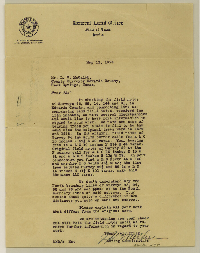
Edwards County Sketch File 37

Print $4.00
- Digital $50.00
Edwards County Sketch File 37
1926
Size 11.3 x 9.0 inches
Map/Doc 21771
Map of the Survey of the Parallel 36 1/2 Degrees North Latitude, Commencing at the 100th and Running to the 103rd Degree of Longitude West of Greenwich


Print $40.00
- Digital $50.00
Map of the Survey of the Parallel 36 1/2 Degrees North Latitude, Commencing at the 100th and Running to the 103rd Degree of Longitude West of Greenwich
1862
Size 87.1 x 11.1 inches
Map/Doc 3084
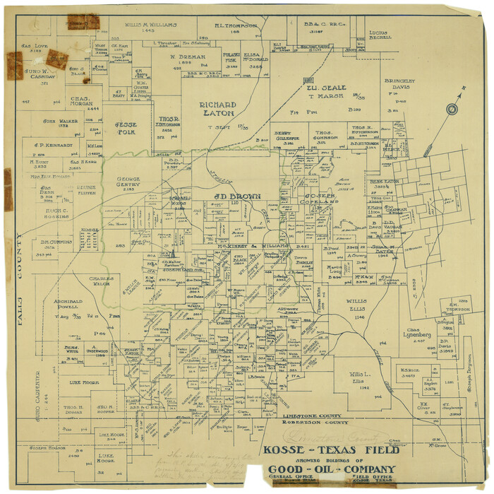
Limestone County Rolled Sketch 3

Print $20.00
- Digital $50.00
Limestone County Rolled Sketch 3
Size 24.3 x 23.6 inches
Map/Doc 6627
Hays County Sketch File 13a


Print $40.00
- Digital $50.00
Hays County Sketch File 13a
Size 12.3 x 15.0 inches
Map/Doc 26223
Hudspeth County Rolled Sketch 57


Print $20.00
- Digital $50.00
Hudspeth County Rolled Sketch 57
Size 38.3 x 46.0 inches
Map/Doc 9223
Flight Mission No. DCL-6C, Frame 117, Kenedy County


Print $20.00
- Digital $50.00
Flight Mission No. DCL-6C, Frame 117, Kenedy County
1943
Size 18.5 x 22.2 inches
Map/Doc 85947
Gulf of Mexico


Print $20.00
- Digital $50.00
Gulf of Mexico
1900
Size 18.2 x 28.1 inches
Map/Doc 72647
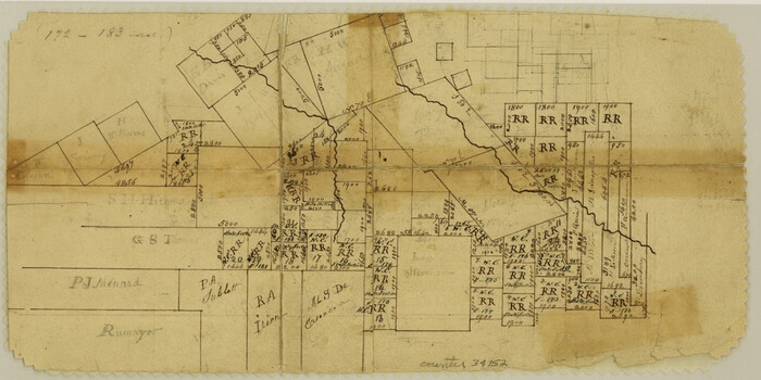
Polk County Sketch File 14

Print $6.00
- Digital $50.00
Polk County Sketch File 14
Size 5.7 x 11.4 inches
Map/Doc 34152
Current Miscellaneous File 52


Print $12.00
- Digital $50.00
Current Miscellaneous File 52
1953
Size 12.3 x 9.3 inches
Map/Doc 74032
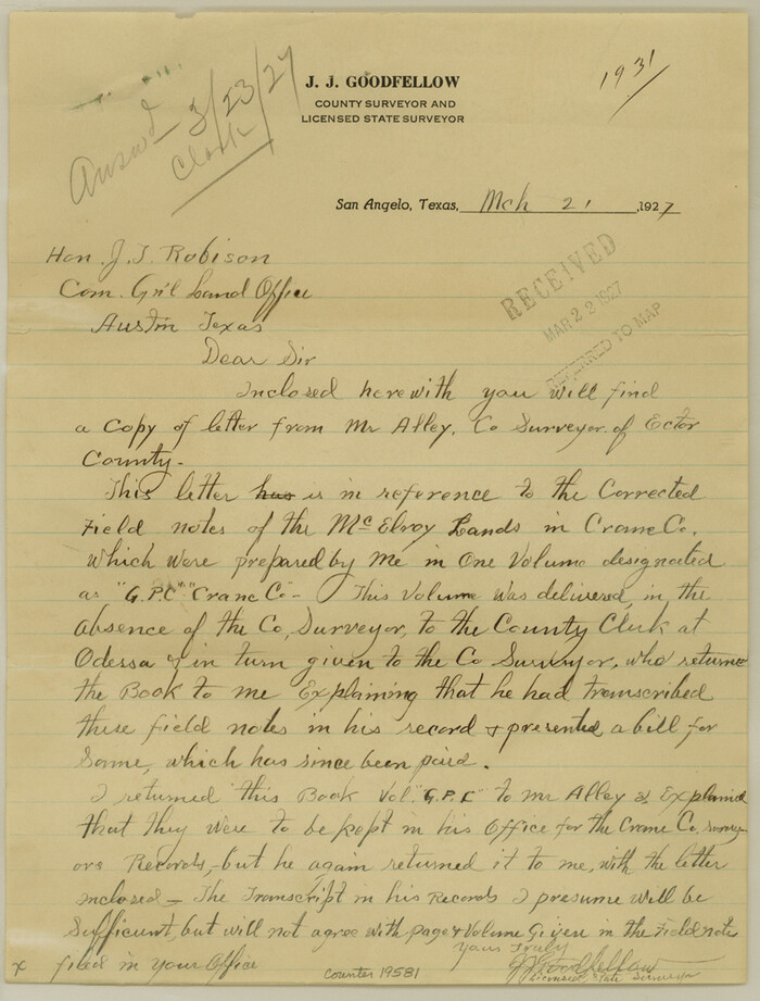
Crane County Sketch File 17

Print $6.00
- Digital $50.00
Crane County Sketch File 17
1927
Size 11.1 x 8.4 inches
Map/Doc 19581
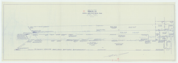
Hidalgo County Working Sketch 7

Print $40.00
- Digital $50.00
Hidalgo County Working Sketch 7
1963
Size 26.4 x 73.9 inches
Map/Doc 66184
You may also like
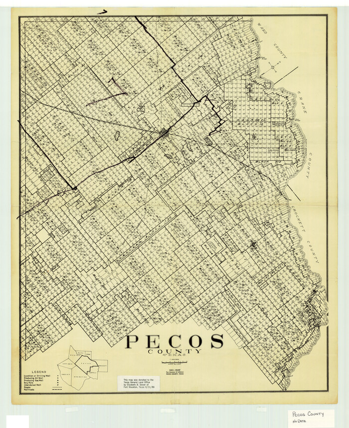
Pecos County Texas

Print $20.00
- Digital $50.00
Pecos County Texas
Size 23.6 x 19.3 inches
Map/Doc 3950
Flight Mission No. CGI-3N, Frame 49, Cameron County


Print $20.00
- Digital $50.00
Flight Mission No. CGI-3N, Frame 49, Cameron County
1954
Size 18.8 x 22.4 inches
Map/Doc 84555
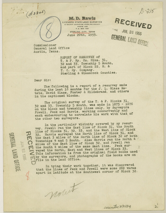
Sterling County Sketch File 23

Print $10.00
- Digital $50.00
Sterling County Sketch File 23
1955
Size 11.2 x 8.8 inches
Map/Doc 37184
Hutchinson County Working Sketch 19


Print $20.00
- Digital $50.00
Hutchinson County Working Sketch 19
1960
Size 18.8 x 18.3 inches
Map/Doc 66379
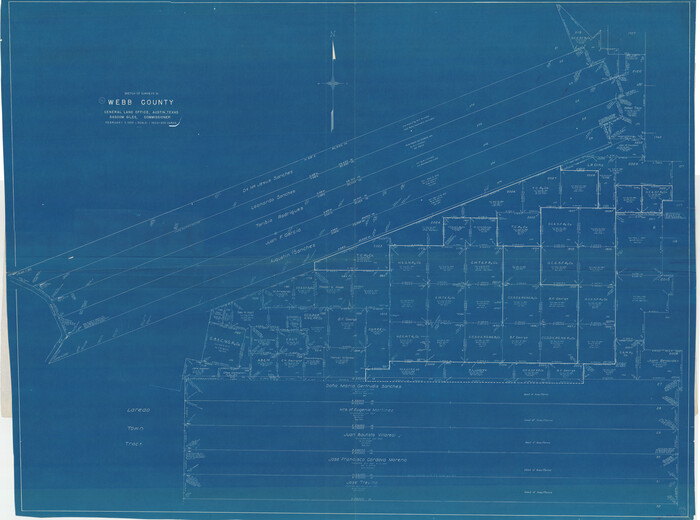
Webb County Working Sketch 51

Print $40.00
- Digital $50.00
Webb County Working Sketch 51
1950
Size 71.7 x 40.0 inches
Map/Doc 72417
Garza County Boundary File 3


Print $76.00
- Digital $50.00
Garza County Boundary File 3
Size 11.4 x 9.0 inches
Map/Doc 53683
Karnes County Boundary File 5b
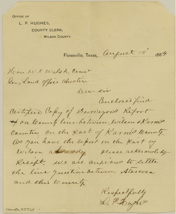

Print $78.00
- Digital $50.00
Karnes County Boundary File 5b
Size 7.4 x 6.1 inches
Map/Doc 55723
Section 148 Block G Abstract 1639 Cert. 57 Gaines County
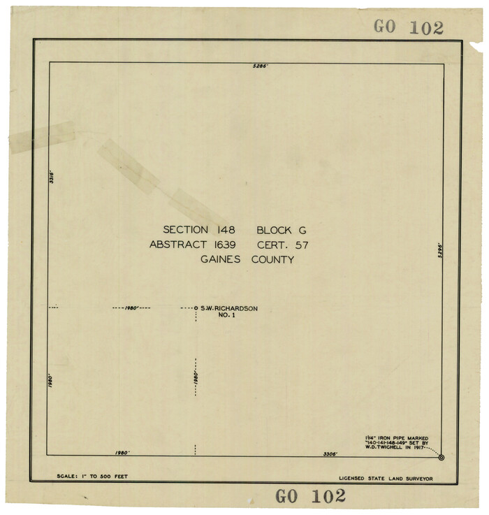

Print $20.00
- Digital $50.00
Section 148 Block G Abstract 1639 Cert. 57 Gaines County
Size 13.0 x 13.7 inches
Map/Doc 93228
Nueces County Sketch File 12


Print $4.00
- Digital $50.00
Nueces County Sketch File 12
1848
Size 9.8 x 8.7 inches
Map/Doc 32528
Palo Pinto County Sketch File 1


Print $20.00
- Digital $50.00
Palo Pinto County Sketch File 1
Size 18.8 x 23.5 inches
Map/Doc 12131
Blanco County Sketch File 44


Print $40.00
- Digital $50.00
Blanco County Sketch File 44
1902
Size 17.6 x 13.7 inches
Map/Doc 14669


![94186, Texas [Verso], General Map Collection](https://historictexasmaps.com/wmedia_w700/maps/94186.tif.jpg)