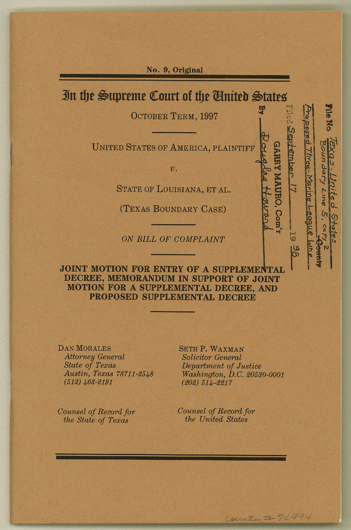
Texas-United States Boundary Line 5
In the Supreme Court of the United States, October Term, 1997 - United States of America, plaintiff v. State of Louisiana, et al. (Texas Boundary Case) - On Bill of Complaint - Joint Motion for entry of a supplemental decree, memorandum in support of Join
-
Map/Doc
74994
-
Collection
General Map Collection
-
Object Dates
1997 (Creation Date)
-
Subjects
Texas Boundaries
-
Height x Width
9.6 x 6.4 inches
24.4 x 16.3 cm
Part of: General Map Collection
Pecos County Working Sketch 49

Print $20.00
- Digital $50.00
Pecos County Working Sketch 49
1947
Size 22.4 x 15.3 inches
Map/Doc 71521
Wharton County Rolled Sketch 6

Print $20.00
- Digital $50.00
Wharton County Rolled Sketch 6
1901
Size 23.7 x 30.0 inches
Map/Doc 8230
Crane County Working Sketch 25

Print $20.00
- Digital $50.00
Crane County Working Sketch 25
1969
Size 33.0 x 26.3 inches
Map/Doc 68302
Upper Galveston Bay, Houston Ship Channel, Dollar Pt. to Atkinson I.

Print $40.00
- Digital $50.00
Upper Galveston Bay, Houston Ship Channel, Dollar Pt. to Atkinson I.
1971
Size 49.3 x 36.4 inches
Map/Doc 69894
Edwards County Working Sketch 69

Print $20.00
- Digital $50.00
Edwards County Working Sketch 69
1957
Size 20.3 x 22.5 inches
Map/Doc 68945
Maps of Gulf Intracoastal Waterway, Texas - Sabine River to the Rio Grande and connecting waterways including ship channels

Print $20.00
- Digital $50.00
Maps of Gulf Intracoastal Waterway, Texas - Sabine River to the Rio Grande and connecting waterways including ship channels
1966
Size 14.6 x 22.2 inches
Map/Doc 61970
[Sketch for Mineral Application 26501 - Sabine River, T. A. Oldhausen]
![2843, [Sketch for Mineral Application 26501 - Sabine River, T. A. Oldhausen], General Map Collection](https://historictexasmaps.com/wmedia_w700/maps/2843.tif.jpg)
Print $20.00
- Digital $50.00
[Sketch for Mineral Application 26501 - Sabine River, T. A. Oldhausen]
1931
Size 23.8 x 36.2 inches
Map/Doc 2843
Orange County Working Sketch 46

Print $3.00
- Digital $50.00
Orange County Working Sketch 46
1982
Size 10.8 x 9.9 inches
Map/Doc 71378
Liberty County Rolled Sketch H

Print $20.00
- Digital $50.00
Liberty County Rolled Sketch H
1943
Size 22.2 x 29.6 inches
Map/Doc 6623
Hardin County Working Sketch 37

Print $40.00
- Digital $50.00
Hardin County Working Sketch 37
1981
Size 68.5 x 37.4 inches
Map/Doc 63435
Reeves County Boundary File 81 1/2

Print $54.00
- Digital $50.00
Reeves County Boundary File 81 1/2
Size 9.7 x 8.3 inches
Map/Doc 58216
The Military History of Texas Map!

The Military History of Texas Map!
Size 24.2 x 35.2 inches
Map/Doc 94360
You may also like
Hunt County Sketch File 8

Print $4.00
- Digital $50.00
Hunt County Sketch File 8
1848
Size 8.2 x 12.7 inches
Map/Doc 27097
West Part of Liberty Co.

Print $20.00
- Digital $50.00
West Part of Liberty Co.
1977
Size 43.5 x 32.9 inches
Map/Doc 77353
Leon County Working Sketch 3

Print $20.00
- Digital $50.00
Leon County Working Sketch 3
1920
Size 15.9 x 14.4 inches
Map/Doc 70402
Bosque County Sketch File 34

Print $20.00
- Digital $50.00
Bosque County Sketch File 34
1856
Size 25.2 x 18.7 inches
Map/Doc 78486
Dallas County Sketch File 20

Print $4.00
- Digital $50.00
Dallas County Sketch File 20
Size 12.2 x 7.8 inches
Map/Doc 20441
Childress County Working Sketch 4

Print $20.00
- Digital $50.00
Childress County Working Sketch 4
1939
Size 43.4 x 14.5 inches
Map/Doc 68020
[Surveys in Liberty County]
![69750, [Surveys in Liberty County], General Map Collection](https://historictexasmaps.com/wmedia_w700/maps/69750.tif.jpg)
Print $2.00
- Digital $50.00
[Surveys in Liberty County]
Size 5.8 x 9.3 inches
Map/Doc 69750
Pecos County Rolled Sketch 60

Print $20.00
- Digital $50.00
Pecos County Rolled Sketch 60
1926
Size 18.3 x 24.2 inches
Map/Doc 7232
Travis County Sketch File 74

Print $10.00
- Digital $50.00
Travis County Sketch File 74
1992
Size 11.5 x 8.8 inches
Map/Doc 38468
Ochiltree County Boundary File 2

Print $4.00
- Digital $50.00
Ochiltree County Boundary File 2
Size 7.7 x 8.6 inches
Map/Doc 57675
Harris County Sketch File 21

Print $4.00
- Digital $50.00
Harris County Sketch File 21
1862
Size 13.1 x 8.2 inches
Map/Doc 25373
[Nathaniel H. Cochran Survey and Vicinity]
![91399, [Nathaniel H. Cochran Survey and Vicinity], Twichell Survey Records](https://historictexasmaps.com/wmedia_w700/maps/91399-1.tif.jpg)
Print $20.00
- Digital $50.00
[Nathaniel H. Cochran Survey and Vicinity]
1922
Size 22.4 x 22.0 inches
Map/Doc 91399