[Sketch of Blocks in Swisher, Deaf Smith, Randall and Castro Counties, Texas]
-
Map/Doc
75559
-
Collection
Maddox Collection
-
Object Dates
1882/5/1 (Creation Date)
-
People and Organizations
W.C. Walsh (GLO Commissioner)
-
Counties
Swisher Randall Castro Deaf Smith
-
Height x Width
22.0 x 22.8 inches
55.9 x 57.9 cm
-
Medium
paper, manuscript
-
Scale
4000 varas = 1 inch
-
Comments
Copied for Maddox Bros & Anderson for a fee of $8.50.
Part of: Maddox Collection
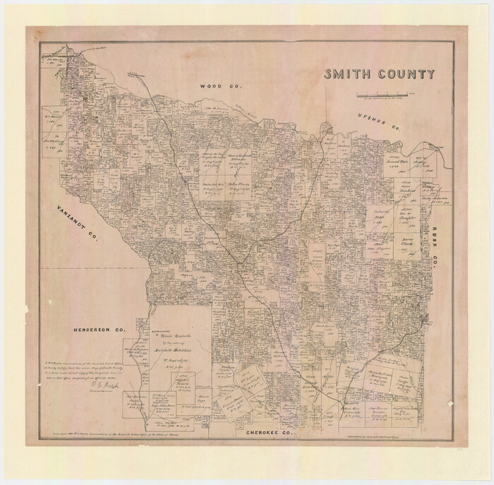
Smith County, Texas

Print $20.00
- Digital $50.00
Smith County, Texas
1880
Size 23.7 x 29.2 inches
Map/Doc 618
Moore County, Texas


Print $20.00
- Digital $50.00
Moore County, Texas
1888
Size 22.0 x 18.3 inches
Map/Doc 742
Map of South Brady Ranch, Concho County, Texas


Print $3.00
- Digital $50.00
Map of South Brady Ranch, Concho County, Texas
1880
Size 12.9 x 10.5 inches
Map/Doc 424
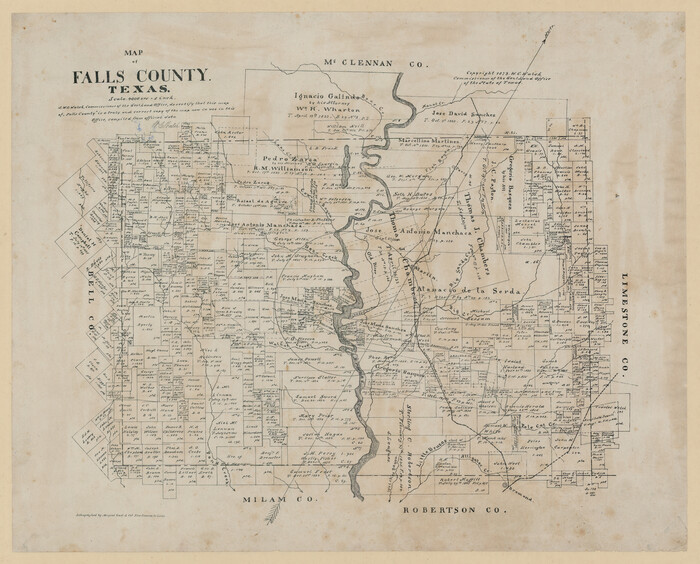
Map of Falls County, Texas

Print $20.00
- Digital $50.00
Map of Falls County, Texas
1879
Size 19.4 x 23.0 inches
Map/Doc 724
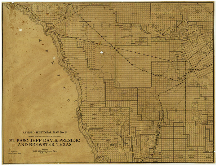
Revised Sectional Map No. 5 showing land surveys in parts of counties of El Paso, Jeff Davis, Presidio and Brewster, Texas

Print $20.00
- Digital $50.00
Revised Sectional Map No. 5 showing land surveys in parts of counties of El Paso, Jeff Davis, Presidio and Brewster, Texas
Size 19.0 x 23.7 inches
Map/Doc 4476
Rockwall County, Texas
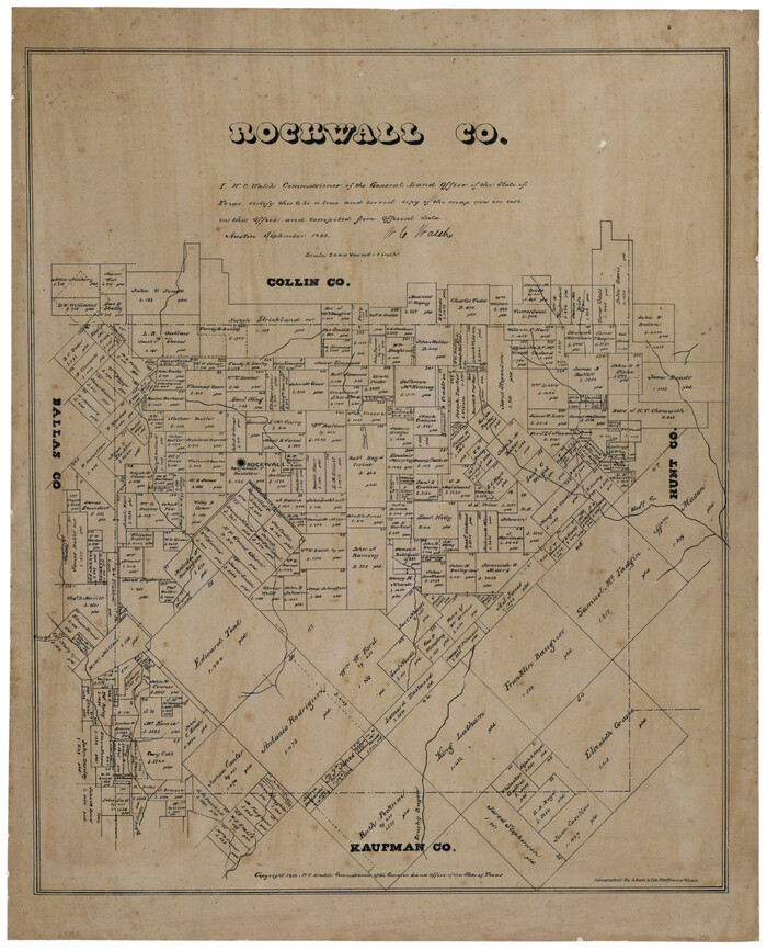

Print $20.00
- Digital $50.00
Rockwall County, Texas
1880
Size 22.7 x 19.3 inches
Map/Doc 750
Map of Lockhart, Caldwell Co., Texas
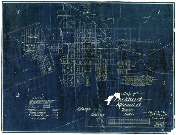

Print $20.00
- Digital $50.00
Map of Lockhart, Caldwell Co., Texas
1907
Size 30.5 x 38.9 inches
Map/Doc 4461
Altita Ranch & Hunter Farm
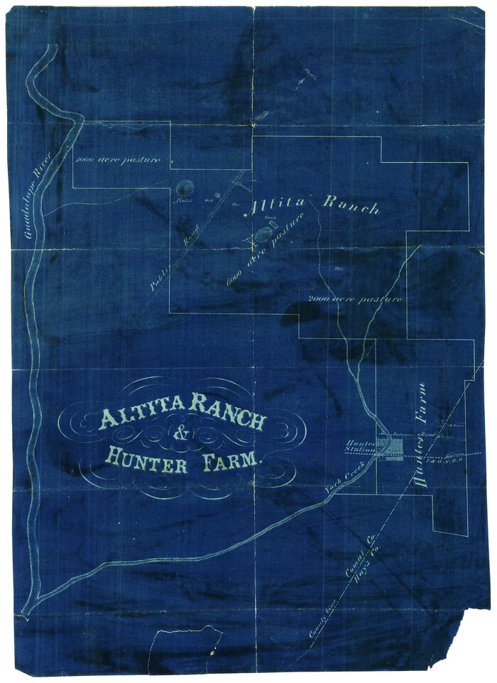

Print $20.00
- Digital $50.00
Altita Ranch & Hunter Farm
Size 20.2 x 15.6 inches
Map/Doc 492
Burnet County


Print $20.00
- Digital $50.00
Burnet County
1881
Size 16.0 x 16.2 inches
Map/Doc 75785
[Santa Rosa Leagues, Brooks & Kenedy Counties, Texas]
![10774, [Santa Rosa Leagues, Brooks & Kenedy Counties, Texas], Maddox Collection](https://historictexasmaps.com/wmedia_w700/maps/10774.tif.jpg)
![10774, [Santa Rosa Leagues, Brooks & Kenedy Counties, Texas], Maddox Collection](https://historictexasmaps.com/wmedia_w700/maps/10774.tif.jpg)
Print $20.00
- Digital $50.00
[Santa Rosa Leagues, Brooks & Kenedy Counties, Texas]
Size 21.0 x 24.6 inches
Map/Doc 10774
Terlingua Special Map, The University of Texas Mineral Survey, Brewster County, Texas
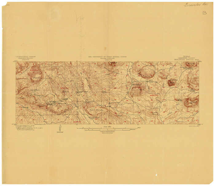

Print $20.00
- Digital $50.00
Terlingua Special Map, The University of Texas Mineral Survey, Brewster County, Texas
1902
Size 20.4 x 22.6 inches
Map/Doc 482
[CTRR Co. Block T, Cottle County, Texas]
![10777, [CTRR Co. Block T, Cottle County, Texas], Maddox Collection](https://historictexasmaps.com/wmedia_w700/maps/10777.tif.jpg)
![10777, [CTRR Co. Block T, Cottle County, Texas], Maddox Collection](https://historictexasmaps.com/wmedia_w700/maps/10777.tif.jpg)
Print $20.00
- Digital $50.00
[CTRR Co. Block T, Cottle County, Texas]
Size 21.5 x 14.0 inches
Map/Doc 10777
You may also like
Uvalde County Working Sketch 68
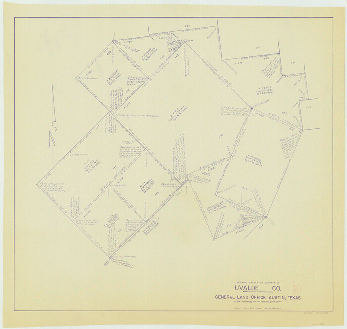

Print $20.00
- Digital $50.00
Uvalde County Working Sketch 68
1971
Size 30.3 x 32.0 inches
Map/Doc 75974
Kerr County Working Sketch 32
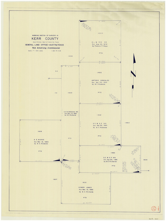

Print $20.00
- Digital $50.00
Kerr County Working Sketch 32
1975
Size 33.8 x 25.3 inches
Map/Doc 70063
[Sketch in DeWitt County]
![78383, [Sketch in DeWitt County], General Map Collection](https://historictexasmaps.com/wmedia_w700/maps/78383.tif.jpg)
![78383, [Sketch in DeWitt County], General Map Collection](https://historictexasmaps.com/wmedia_w700/maps/78383.tif.jpg)
Print $3.00
- Digital $50.00
[Sketch in DeWitt County]
Size 9.3 x 10.1 inches
Map/Doc 78383
English Field Notes of the Spanish Archives - Book SAW


English Field Notes of the Spanish Archives - Book SAW
1834
Map/Doc 96544
Flight Mission No. CUG-3P, Frame 44, Kleberg County
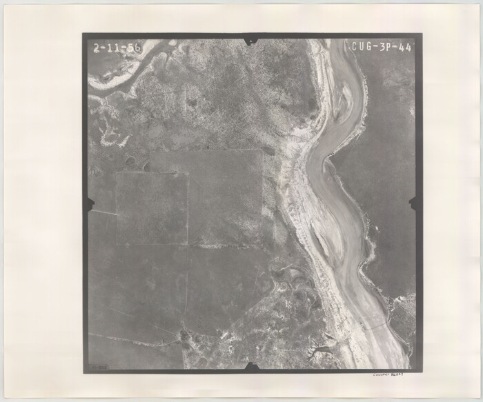

Print $20.00
- Digital $50.00
Flight Mission No. CUG-3P, Frame 44, Kleberg County
1956
Size 18.4 x 22.1 inches
Map/Doc 86249
Tom Green County Sketch File 50


Print $20.00
- Digital $50.00
Tom Green County Sketch File 50
1884
Size 25.4 x 34.5 inches
Map/Doc 12442
Washington County Sketch File 6
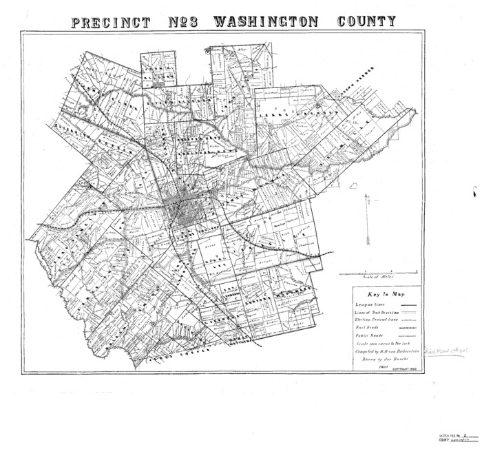

Print $20.00
- Digital $50.00
Washington County Sketch File 6
1901
Size 24.7 x 26.0 inches
Map/Doc 12602
The Republic County of Fayette. May 3, 1838


Print $20.00
The Republic County of Fayette. May 3, 1838
2020
Size 14.7 x 21.7 inches
Map/Doc 96132
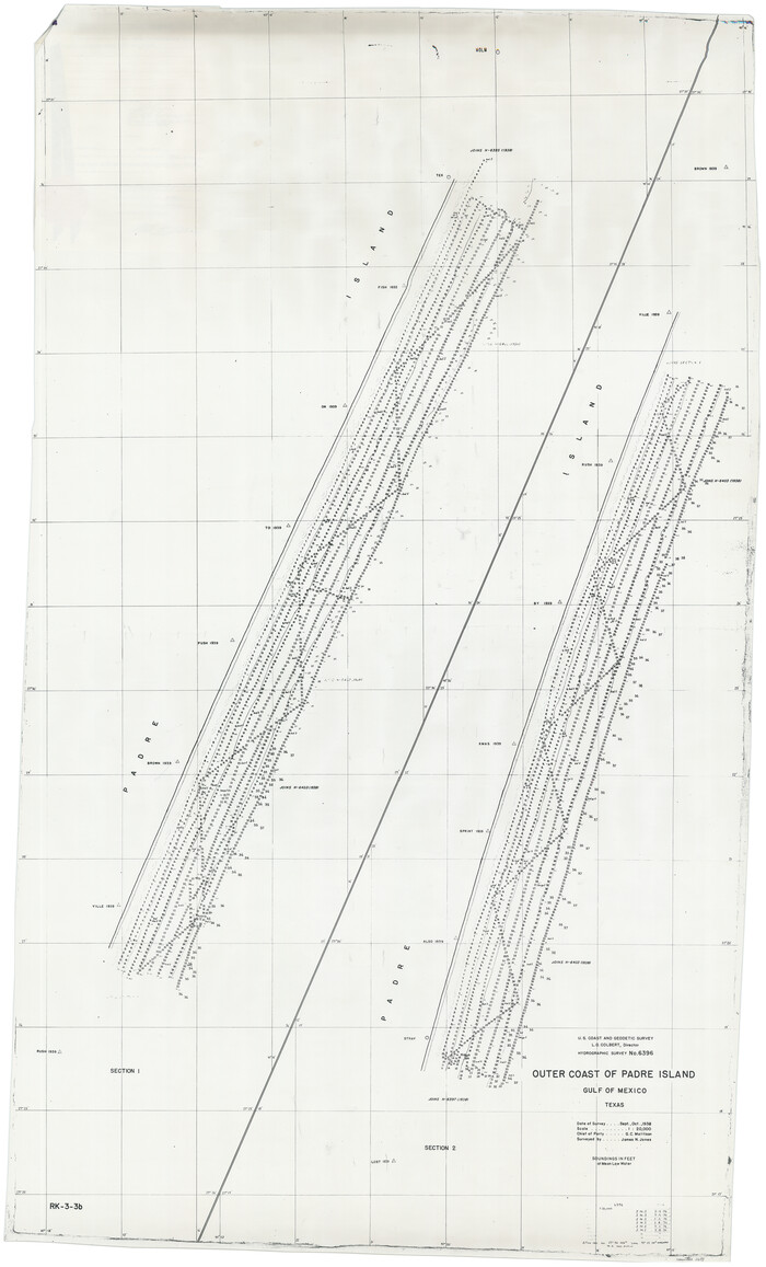
Hydrographic Survey H-6396 of Outer Coast of Padre Island; Gulf of Mexico

Print $40.00
- Digital $50.00
Hydrographic Survey H-6396 of Outer Coast of Padre Island; Gulf of Mexico
1938
Size 54.4 x 33.5 inches
Map/Doc 2699
Culberson County Sketch File D

Print $32.00
- Digital $50.00
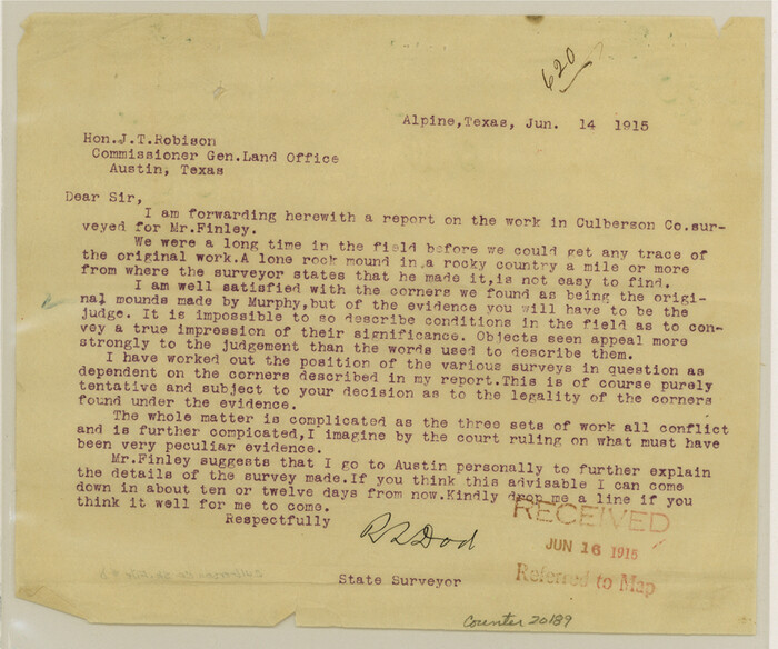
Culberson County Sketch File D
1915
Size 7.4 x 8.8 inches
Map/Doc 20189
Coast Chart No. 210 Aransas Pass and Corpus Christi Bay with the coast to latitude 27° 12' Texas


Print $20.00
- Digital $50.00
Coast Chart No. 210 Aransas Pass and Corpus Christi Bay with the coast to latitude 27° 12' Texas
1887
Size 27.1 x 18.3 inches
Map/Doc 72804
![75559, [Sketch of Blocks in Swisher, Deaf Smith, Randall and Castro Counties, Texas], Maddox Collection](https://historictexasmaps.com/wmedia_w1800h1800/maps/75559.tif.jpg)
