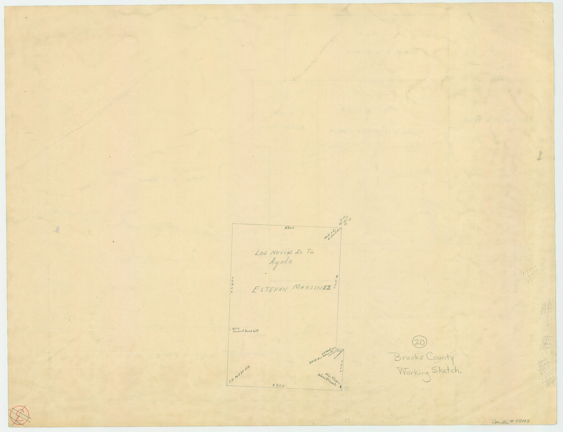
Brooks County Working Sketch 20
-
Map/Doc
78198
-
Collection
General Map Collection
-
Counties
Brooks
-
Subjects
Surveying Working Sketch
-
Height x Width
16.5 x 21.6 inches
41.9 x 54.9 cm
-
Comments
Reverse side of Brooks County Working Sketch 3, counter No. 67787.
Part of: General Map Collection
Flight Mission No. DQN-2K, Frame 123, Calhoun County

Print $20.00
- Digital $50.00
Flight Mission No. DQN-2K, Frame 123, Calhoun County
1953
Size 16.6 x 16.5 inches
Map/Doc 84299
Washington County

Print $40.00
- Digital $50.00
Washington County
1920
Size 33.4 x 48.6 inches
Map/Doc 63112
Presidio County Sketch File 104

Print $17.00
- Digital $50.00
Presidio County Sketch File 104
Size 11.3 x 8.7 inches
Map/Doc 34807
Duval County Rolled Sketch 39

Print $20.00
- Digital $50.00
Duval County Rolled Sketch 39
1956
Size 29.0 x 20.1 inches
Map/Doc 5756
Flight Mission No. DIX-7P, Frame 86, Aransas County

Print $20.00
- Digital $50.00
Flight Mission No. DIX-7P, Frame 86, Aransas County
1956
Size 18.7 x 22.5 inches
Map/Doc 83880
Map of Comal County

Print $20.00
- Digital $50.00
Map of Comal County
1879
Size 19.3 x 25.7 inches
Map/Doc 4521
The Making of America - The Southwest

The Making of America - The Southwest
Size 20.8 x 27.5 inches
Map/Doc 95947
Pecos County Working Sketch 44

Print $20.00
- Digital $50.00
Pecos County Working Sketch 44
1945
Size 29.6 x 35.0 inches
Map/Doc 71516
Flight Mission No. BRA-7M, Frame 4, Jefferson County

Print $20.00
- Digital $50.00
Flight Mission No. BRA-7M, Frame 4, Jefferson County
1953
Size 18.7 x 22.2 inches
Map/Doc 85455
Flight Mission No. DQN-6K, Frame 7, Calhoun County

Print $20.00
- Digital $50.00
Flight Mission No. DQN-6K, Frame 7, Calhoun County
1953
Size 18.4 x 22.1 inches
Map/Doc 84429
Flight Mission No. CZW-2R, Frame 66, Hardeman County

Print $20.00
- Digital $50.00
Flight Mission No. CZW-2R, Frame 66, Hardeman County
1956
Size 18.6 x 22.4 inches
Map/Doc 85239
Bosque County Working Sketch 14

Print $20.00
- Digital $50.00
Bosque County Working Sketch 14
1962
Size 24.1 x 23.3 inches
Map/Doc 67447
You may also like
Orange County NRC Article 33.136 Sketch 5

Print $62.00
- Digital $50.00
Orange County NRC Article 33.136 Sketch 5
2014
Size 26.1 x 22.7 inches
Map/Doc 94946
Borden County Rolled Sketch 7

Print $20.00
- Digital $50.00
Borden County Rolled Sketch 7
Size 16.9 x 18.5 inches
Map/Doc 5157
Brewster County Rolled Sketch 158

Print $20.00
- Digital $50.00
Brewster County Rolled Sketch 158
2007
Size 24.6 x 36.5 inches
Map/Doc 89623
Flight Mission No. DIX-10P, Frame 180, Aransas County

Print $20.00
- Digital $50.00
Flight Mission No. DIX-10P, Frame 180, Aransas County
1956
Size 18.5 x 22.2 inches
Map/Doc 83970
Lamar County Rolled Sketch 1

Print $40.00
- Digital $50.00
Lamar County Rolled Sketch 1
1989
Size 50.3 x 39.1 inches
Map/Doc 9553
The Republic County of Colorado. 1841

Print $20.00
The Republic County of Colorado. 1841
2020
Size 18.4 x 21.7 inches
Map/Doc 96123
[E. L. & R. R. RR. Co. Blocks 10 and 32, T. & P. R.R. Co. Blocks 30 and 31, Tsp 6N]
![90216, [E. L. & R. R. RR. Co. Blocks 10 and 32, T. & P. R.R. Co. Blocks 30 and 31, Tsp 6N], Twichell Survey Records](https://historictexasmaps.com/wmedia_w700/maps/90216-1.tif.jpg)
Print $20.00
- Digital $50.00
[E. L. & R. R. RR. Co. Blocks 10 and 32, T. & P. R.R. Co. Blocks 30 and 31, Tsp 6N]
Size 21.7 x 17.7 inches
Map/Doc 90216
Montgomery County Rolled Sketch 15

Print $40.00
- Digital $50.00
Montgomery County Rolled Sketch 15
1932
Size 23.7 x 49.0 inches
Map/Doc 9527
Fort Bend County Working Sketch 15

Print $20.00
- Digital $50.00
Fort Bend County Working Sketch 15
1950
Size 22.5 x 14.7 inches
Map/Doc 69221
Grayson County Working Sketch 26

Print $20.00
- Digital $50.00
Grayson County Working Sketch 26
1984
Size 27.7 x 38.8 inches
Map/Doc 63265
Montague County Working Sketch 3

Print $20.00
- Digital $50.00
Montague County Working Sketch 3
1912
Size 20.5 x 15.4 inches
Map/Doc 71069
Lubbock County Working Sketch 8

Print $20.00
- Digital $50.00
Lubbock County Working Sketch 8
1989
Size 27.4 x 25.2 inches
Map/Doc 70668