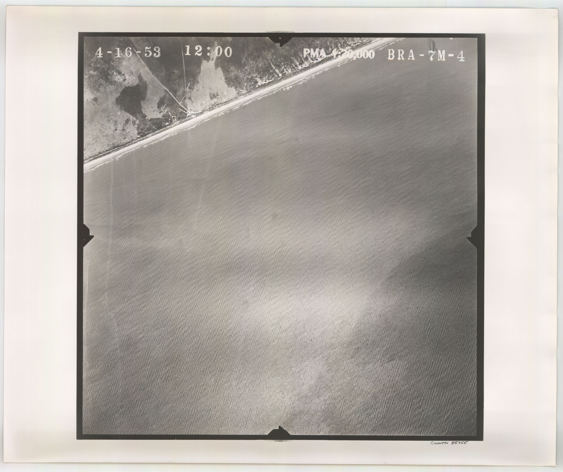
Flight Mission No. BRA-7M, Frame 4, Jefferson County
BRA-7M-4
-
Map/Doc
85455
-
Collection
General Map Collection
-
Object Dates
1953/4/16 (Creation Date)
-
People and Organizations
U. S. Department of Agriculture (Publisher)
-
Counties
Jefferson
-
Subjects
Aerial Photograph
-
Height x Width
18.7 x 22.2 inches
47.5 x 56.4 cm
-
Comments
Flown by Jack Ammann Photogrammetric Engineers of San Antonio, Texas.
Part of: General Map Collection
Guadalupe County Sketch File 24

Print $4.00
- Digital $50.00
Guadalupe County Sketch File 24
1838
Size 12.9 x 8.4 inches
Map/Doc 24715
El Paso County Rolled Sketch 52

Print $20.00
- Digital $50.00
El Paso County Rolled Sketch 52
1960
Size 18.4 x 24.4 inches
Map/Doc 5841
Trinity County Sketch File 4

Print $24.00
- Digital $50.00
Trinity County Sketch File 4
1858
Size 8.4 x 7.7 inches
Map/Doc 38501
Llano County Working Sketch 14

Print $20.00
- Digital $50.00
Llano County Working Sketch 14
1989
Size 14.6 x 34.7 inches
Map/Doc 70632
Kimble County Working Sketch 20

Print $20.00
- Digital $50.00
Kimble County Working Sketch 20
1929
Size 36.2 x 27.8 inches
Map/Doc 70088
Wichita County Sketch File 31

Print $20.00
- Digital $50.00
Wichita County Sketch File 31
1938
Size 27.6 x 39.4 inches
Map/Doc 10433
Flight Mission No. DQN-2K, Frame 9, Calhoun County

Print $20.00
- Digital $50.00
Flight Mission No. DQN-2K, Frame 9, Calhoun County
1953
Size 15.7 x 15.6 inches
Map/Doc 84226
Flight Mission No. BRE-2P, Frame 44, Nueces County

Print $20.00
- Digital $50.00
Flight Mission No. BRE-2P, Frame 44, Nueces County
1956
Size 18.7 x 22.9 inches
Map/Doc 86746
Travis County Appraisal District Plat Map 2_2313

Print $20.00
- Digital $50.00
Travis County Appraisal District Plat Map 2_2313
Size 21.4 x 26.3 inches
Map/Doc 94215
Hartley County Working Sketch 1

Print $20.00
- Digital $50.00
Hartley County Working Sketch 1
1893
Size 18.1 x 13.9 inches
Map/Doc 66051
Tyler County Rolled Sketch 5

Print $20.00
- Digital $50.00
Tyler County Rolled Sketch 5
1954
Size 29.3 x 40.0 inches
Map/Doc 8057
Liberty County Working Sketch 3

Print $20.00
- Digital $50.00
Liberty County Working Sketch 3
1891
Size 16.2 x 13.2 inches
Map/Doc 70462
You may also like
Working Sketch in Dimmit Co.

Print $20.00
- Digital $50.00
Working Sketch in Dimmit Co.
1883
Size 14.9 x 14.6 inches
Map/Doc 436
J. De Cordova's Map of the State of Texas Compiled from the records of the General Land Office of the State

Print $20.00
- Digital $50.00
J. De Cordova's Map of the State of Texas Compiled from the records of the General Land Office of the State
1858
Size 31.6 x 29.6 inches
Map/Doc 2127

Culberson County Rolled Sketch 53

Print $20.00
- Digital $50.00
Culberson County Rolled Sketch 53
1968
Size 36.7 x 47.2 inches
Map/Doc 8756
Winkler County Working Sketch 7

Print $20.00
- Digital $50.00
Winkler County Working Sketch 7
1958
Size 45.4 x 30.2 inches
Map/Doc 72601
Frio County Sketch File 19

Print $20.00
- Digital $50.00
Frio County Sketch File 19
1963
Size 14.7 x 30.6 inches
Map/Doc 11519
Kimble County Working Sketch 11

Print $20.00
- Digital $50.00
Kimble County Working Sketch 11
1921
Size 19.0 x 25.1 inches
Map/Doc 70079
[Surveys along the Red River and Capitol Lands]
![90738, [Surveys along the Red River and Capitol Lands], Twichell Survey Records](https://historictexasmaps.com/wmedia_w700/maps/90738-1.tif.jpg)
Print $20.00
- Digital $50.00
[Surveys along the Red River and Capitol Lands]
Size 24.8 x 39.7 inches
Map/Doc 90738
General Highway Map, Andrews County, Texas

Print $20.00
General Highway Map, Andrews County, Texas
1961
Size 25.2 x 18.2 inches
Map/Doc 79348
Map of the City of Aransas Pass

Print $20.00
- Digital $50.00
Map of the City of Aransas Pass
1905
Size 28.3 x 21.4 inches
Map/Doc 97266
Gaines County Working Sketch 36

Print $20.00
- Digital $50.00
Gaines County Working Sketch 36
Size 23.5 x 36.7 inches
Map/Doc 69336
Mitchell County

Print $20.00
- Digital $50.00
Mitchell County
1889
Size 44.3 x 37.8 inches
Map/Doc 66935