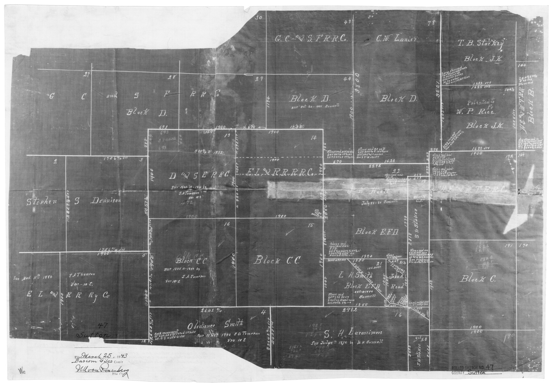
Sutton County Rolled Sketch 47
[Sketch of Block CC and surrounding area]
-
Map/Doc
7888
-
Collection
General Map Collection
-
Object Dates
3/25/1943 (File Date)
-
People and Organizations
Edgar C. Saunders (Surveyor/Engineer)
-
Counties
Sutton
-
Subjects
Surveying Rolled Sketch
-
Height x Width
17.0 x 24.3 inches
43.2 x 61.7 cm
-
Medium
photostat
Part of: General Map Collection
Refugio County Sketch File 17

Print $6.00
- Digital $50.00
Refugio County Sketch File 17
1902
Size 14.3 x 8.8 inches
Map/Doc 35272
Hansford County

Print $20.00
- Digital $50.00
Hansford County
1932
Size 39.6 x 38.5 inches
Map/Doc 77301

G.C. & S.F. Ry. Alinement and Right of Way map of Dallas Branch, Ellis County, Texas

Print $20.00
- Digital $50.00
G.C. & S.F. Ry. Alinement and Right of Way map of Dallas Branch, Ellis County, Texas
1925
Size 30.9 x 44.2 inches
Map/Doc 64548
Live Oak County Working Sketch 29

Print $20.00
- Digital $50.00
Live Oak County Working Sketch 29
1983
Size 33.7 x 42.8 inches
Map/Doc 70614
Flight Mission No. CGI-3N, Frame 99, Cameron County

Print $20.00
- Digital $50.00
Flight Mission No. CGI-3N, Frame 99, Cameron County
1954
Size 18.5 x 22.1 inches
Map/Doc 84579
McMullen County Sketch File 27a

Print $4.00
- Digital $50.00
McMullen County Sketch File 27a
Size 9.5 x 6.3 inches
Map/Doc 31390
Eastland County Working Sketch 47

Print $20.00
- Digital $50.00
Eastland County Working Sketch 47
1981
Size 30.0 x 27.1 inches
Map/Doc 68828
Flight Mission No. DCL-6C, Frame 51, Kenedy County

Print $20.00
- Digital $50.00
Flight Mission No. DCL-6C, Frame 51, Kenedy County
1943
Size 18.6 x 22.4 inches
Map/Doc 85893
Supreme Court of the United States, October Term, 1923, No. 15, Original - The State of Oklahoma, Complainant vs. The State of Texas, Defendant, The United States, Intervener; Report of the Boundary Commissioners

Print $20.00
- Digital $50.00
Supreme Court of the United States, October Term, 1923, No. 15, Original - The State of Oklahoma, Complainant vs. The State of Texas, Defendant, The United States, Intervener; Report of the Boundary Commissioners
1923
Size 35.1 x 41.1 inches
Map/Doc 82996
Trinity River, Clear Lake Sheet/East Fork of Trinity River and Pilot Grove Creek

Print $6.00
- Digital $50.00
Trinity River, Clear Lake Sheet/East Fork of Trinity River and Pilot Grove Creek
1923
Size 33.0 x 31.1 inches
Map/Doc 65194
Jackson County Rolled Sketch 15

Print $40.00
- Digital $50.00
Jackson County Rolled Sketch 15
1945
Size 53.7 x 30.3 inches
Map/Doc 9261
You may also like
Atascosa County Rolled Sketch 22

Print $40.00
- Digital $50.00
Atascosa County Rolled Sketch 22
1917
Size 57.5 x 26.5 inches
Map/Doc 8921
Trinity River, White Rock Reservoir Sheet/White Rock Creek

Print $6.00
- Digital $50.00
Trinity River, White Rock Reservoir Sheet/White Rock Creek
1923
Size 36.3 x 16.7 inches
Map/Doc 65213
Outer Continental Shelf Leasing Maps (Louisiana Offshore Operations)

Print $20.00
- Digital $50.00
Outer Continental Shelf Leasing Maps (Louisiana Offshore Operations)
1954
Size 25.5 x 15.3 inches
Map/Doc 76093
[Map showing J. H. Gibson Blocks D and DD]
![92000, [Map showing J. H. Gibson Blocks D and DD], Twichell Survey Records](https://historictexasmaps.com/wmedia_w700/maps/92000-1.tif.jpg)
Print $20.00
- Digital $50.00
[Map showing J. H. Gibson Blocks D and DD]
Size 26.1 x 18.8 inches
Map/Doc 92000
Blanco County Working Sketch 10

Print $20.00
- Digital $50.00
Blanco County Working Sketch 10
1938
Size 28.3 x 25.8 inches
Map/Doc 67370
Eberstadt and Brock's Subdivisions of the West Half of Survey Number 187 Block 2 A. B. & M., Randall County Texas

Print $20.00
- Digital $50.00
Eberstadt and Brock's Subdivisions of the West Half of Survey Number 187 Block 2 A. B. & M., Randall County Texas
Size 14.9 x 30.7 inches
Map/Doc 91747
Knox County Sketch File 25

Print $10.00
- Digital $50.00
Knox County Sketch File 25
1872
Size 12.8 x 8.2 inches
Map/Doc 29257
Section IX, Galveston Harbor and Bar

Print $20.00
- Digital $50.00
Section IX, Galveston Harbor and Bar
1850
Size 30.0 x 45.7 inches
Map/Doc 69855
Starr County Rolled Sketch 23

Print $20.00
- Digital $50.00
Starr County Rolled Sketch 23
1938
Size 36.8 x 24.9 inches
Map/Doc 7807

Flight Mission No. CGN-3P, Frame 24, San Patricio County

Print $20.00
- Digital $50.00
Flight Mission No. CGN-3P, Frame 24, San Patricio County
1956
Size 18.5 x 22.3 inches
Map/Doc 86982
Map of Childress, Childress County, Texas on the Line of the Fort Worth and Denver City Railway, Texas Pan-Handle Route

Print $20.00
- Digital $50.00
Map of Childress, Childress County, Texas on the Line of the Fort Worth and Denver City Railway, Texas Pan-Handle Route
1888
Size 35.6 x 28.0 inches
Map/Doc 7691