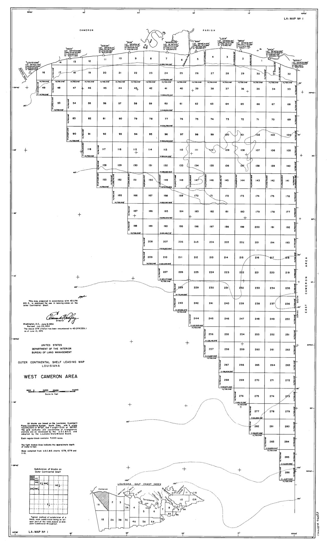
Outer Continental Shelf Leasing Maps (Louisiana Offshore Operations)
D-7-3; D-7-4
-
Map/Doc
76093
-
Collection
General Map Collection
-
Object Dates
1954/6/8 (Creation Date)
1954/7/22 (Revision Date)
-
Subjects
Energy Offshore Submerged Area
-
Height x Width
25.5 x 15.3 inches
64.8 x 38.9 cm
Part of: General Map Collection
Stieler Map of 1879

Print $4.00
- Digital $50.00
Stieler Map of 1879
1879
Size 28.9 x 23.1 inches
Map/Doc 76054
Nueces County Sketch File 32

Print $32.00
- Digital $50.00
Nueces County Sketch File 32
1907
Size 14.2 x 8.7 inches
Map/Doc 32605
Hunt County Sketch File 27

Print $4.00
- Digital $50.00
Hunt County Sketch File 27
1860
Size 10.3 x 7.6 inches
Map/Doc 27126
Aransas County Sketch File 23

Print $6.00
- Digital $50.00
Aransas County Sketch File 23
1927
Size 14.5 x 8.9 inches
Map/Doc 13174
San Patricio County NRC Article 33.136 Sketch 4A

Print $3.00
- Digital $50.00
San Patricio County NRC Article 33.136 Sketch 4A
Size 17.0 x 11.0 inches
Map/Doc 94696
Kimble County Sketch File 2

Print $2.00
- Digital $50.00
Kimble County Sketch File 2
Size 7.0 x 6.7 inches
Map/Doc 28909
Flight Mission No. BRE-2P, Frame 100, Nueces County

Print $20.00
- Digital $50.00
Flight Mission No. BRE-2P, Frame 100, Nueces County
1956
Size 18.5 x 22.3 inches
Map/Doc 86785
Map of Collingsworth County

Print $20.00
- Digital $50.00
Map of Collingsworth County
1899
Size 41.1 x 38.6 inches
Map/Doc 4738
Gulf Intracoastal Waterway - High Island to Chocolate Bay, Location of Spoil Disposal Areas

Print $20.00
- Digital $50.00
Gulf Intracoastal Waterway - High Island to Chocolate Bay, Location of Spoil Disposal Areas
1961
Size 31.1 x 40.8 inches
Map/Doc 61830
Taylor County Sketch File 20

Print $20.00
- Digital $50.00
Taylor County Sketch File 20
1950
Size 32.1 x 46.1 inches
Map/Doc 10385
Menard County Rolled Sketch 17

Print $20.00
- Digital $50.00
Menard County Rolled Sketch 17
1950
Size 23.2 x 26.3 inches
Map/Doc 6763
Hansford County Working Sketch 9

Print $20.00
- Digital $50.00
Hansford County Working Sketch 9
1984
Size 31.5 x 38.2 inches
Map/Doc 63381
You may also like
Topographical Map of the Rio Grande, Sheet No. 3

Print $20.00
- Digital $50.00
Topographical Map of the Rio Grande, Sheet No. 3
1912
Map/Doc 89527
Brewster County Rolled Sketch 143

Print $20.00
- Digital $50.00
Brewster County Rolled Sketch 143
1985
Size 18.3 x 28.0 inches
Map/Doc 5311
Collingsworth County Working Sketch 5

Print $20.00
- Digital $50.00
Collingsworth County Working Sketch 5
1973
Size 22.5 x 38.2 inches
Map/Doc 68093
Sherman County Rolled Sketch 12

Print $40.00
- Digital $50.00
Sherman County Rolled Sketch 12
1951
Size 11.1 x 63.8 inches
Map/Doc 9929
Map of Goliad County

Print $20.00
- Digital $50.00
Map of Goliad County
1853
Size 30.7 x 24.2 inches
Map/Doc 3585
Brooks County Working Sketch 5

Print $20.00
- Digital $50.00
Brooks County Working Sketch 5
1906
Size 29.8 x 16.3 inches
Map/Doc 67789
Wichita County Working Sketch 17

Print $20.00
- Digital $50.00
Wichita County Working Sketch 17
1940
Size 25.6 x 26.1 inches
Map/Doc 72527
Terrell County Rolled Sketch 52

Print $20.00
- Digital $50.00
Terrell County Rolled Sketch 52
1967
Size 26.8 x 30.5 inches
Map/Doc 7970
Haskell County Rolled Sketch 3

Print $20.00
- Digital $50.00
Haskell County Rolled Sketch 3
1902
Size 18.1 x 21.0 inches
Map/Doc 6164
Atascosa County Rolled Sketch 22

Print $40.00
- Digital $50.00
Atascosa County Rolled Sketch 22
1917
Size 26.5 x 57.2 inches
Map/Doc 8922
Uvalde County Boundary File 1

Print $48.00
- Digital $50.00
Uvalde County Boundary File 1
Size 13.8 x 8.8 inches
Map/Doc 59536
Coast Chart No. 212 - From Latitude 26° 33' to the Rio Grande, Texas

Print $20.00
- Digital $50.00
Coast Chart No. 212 - From Latitude 26° 33' to the Rio Grande, Texas
1886
Size 37.8 x 34.1 inches
Map/Doc 73503