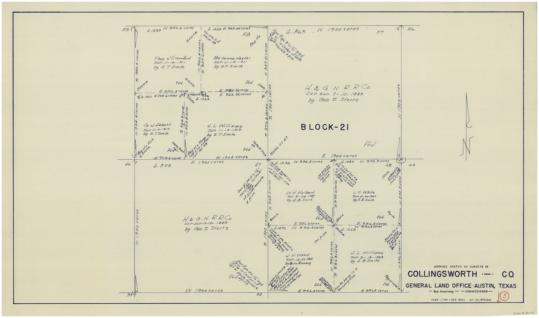
Collingsworth County Working Sketch 5
-
Map/Doc
68093
-
Collection
General Map Collection
-
Object Dates
1/23/1973 (Creation Date)
-
People and Organizations
Herbert H. Ulbricht (Draftsman)
-
Counties
Collingsworth
-
Subjects
Surveying Working Sketch
-
Height x Width
22.5 x 38.2 inches
57.2 x 97.0 cm
-
Scale
1" = 200 varas
Part of: General Map Collection
Cottle County Sketch File 3

Print $4.00
- Digital $50.00
Cottle County Sketch File 3
Size 10.0 x 8.4 inches
Map/Doc 19457
Trinity County Sketch File 29

Print $20.00
- Digital $50.00
Trinity County Sketch File 29
1859
Size 18.1 x 37.1 inches
Map/Doc 12488

Flight Mission No. DQN-1K, Frame 131, Calhoun County

Print $20.00
- Digital $50.00
Flight Mission No. DQN-1K, Frame 131, Calhoun County
1953
Size 18.6 x 22.4 inches
Map/Doc 84194
Survey plat of lots 2, 4, 6, 8, 10-16, Block 322 of the original town site of Jourdanton known as School File 154507

Print $4.00
- Digital $50.00
Survey plat of lots 2, 4, 6, 8, 10-16, Block 322 of the original town site of Jourdanton known as School File 154507
2001
Size 26.0 x 27.7 inches
Map/Doc 60392
Clay County Sketch File 32

Print $22.00
- Digital $50.00
Clay County Sketch File 32
Size 8.6 x 7.8 inches
Map/Doc 18458
Flight Mission No. DIX-5P, Frame 151, Aransas County

Print $20.00
- Digital $50.00
Flight Mission No. DIX-5P, Frame 151, Aransas County
1956
Size 17.8 x 18.2 inches
Map/Doc 83813
Falls County Sketch File 20

Print $12.00
- Digital $50.00
Falls County Sketch File 20
1869
Size 10.0 x 8.3 inches
Map/Doc 22388
Medina County Sketch File 2

Print $12.00
- Digital $50.00
Medina County Sketch File 2
Size 7.5 x 12.5 inches
Map/Doc 31439
Brewster County Sketch File 48

Print $4.00
- Digital $50.00
Brewster County Sketch File 48
1940
Size 11.4 x 9.2 inches
Map/Doc 16327
Reeves County

Print $20.00
- Digital $50.00
Reeves County
1903
Size 47.3 x 35.6 inches
Map/Doc 66997
Montague County Sketch File 18

Print $6.00
- Digital $50.00
Montague County Sketch File 18
1893
Size 15.9 x 11.6 inches
Map/Doc 31746
You may also like
Wise County Sketch File 26

Print $22.00
- Digital $50.00
Wise County Sketch File 26
1855
Size 8.1 x 14.3 inches
Map/Doc 40574
Flight Mission No. DQO-8K, Frame 89, Galveston County

Print $20.00
- Digital $50.00
Flight Mission No. DQO-8K, Frame 89, Galveston County
1952
Size 18.6 x 22.4 inches
Map/Doc 85191
Supreme Court of the United States, October Term, 1923, No. 15, Original - The State of Oklahoma, Complainant vs. The State of Texas, Defendant, The United States, Intervener; Report of the Boundary Commissioners

Print $20.00
- Digital $50.00
Supreme Court of the United States, October Term, 1923, No. 15, Original - The State of Oklahoma, Complainant vs. The State of Texas, Defendant, The United States, Intervener; Report of the Boundary Commissioners
1923
Size 25.0 x 37.8 inches
Map/Doc 75121
The Land Grants of Texas

Print $20.00
The Land Grants of Texas
2014
Size 28.0 x 36.2 inches
Map/Doc 93698
Corpus Christi is the Sportsman's Paradise

Print $20.00
Corpus Christi is the Sportsman's Paradise
1942
Size 26.7 x 16.3 inches
Map/Doc 79324
Nueces County Rolled Sketch 131

Print $20.00
- Digital $50.00
Nueces County Rolled Sketch 131
2000
Size 24.2 x 36.6 inches
Map/Doc 7166
Culberson County Sketch File 31

Print $4.00
- Digital $50.00
Culberson County Sketch File 31
1951
Size 11.3 x 8.9 inches
Map/Doc 20283
[Surveys along the Bosque River]
![260, [Surveys along the Bosque River], General Map Collection](https://historictexasmaps.com/wmedia_w700/maps/260.tif.jpg)
Print $2.00
- Digital $50.00
[Surveys along the Bosque River]
1846
Size 9.3 x 7.8 inches
Map/Doc 260
Flight Mission No. CGI-3N, Frame 47, Cameron County

Print $20.00
- Digital $50.00
Flight Mission No. CGI-3N, Frame 47, Cameron County
1954
Size 18.7 x 22.3 inches
Map/Doc 84553
General Highway Map. Detail of Cities and Towns in Nueces County, Texas [Corpus Christi and vicinity]
![79617, General Highway Map. Detail of Cities and Towns in Nueces County, Texas [Corpus Christi and vicinity], Texas State Library and Archives](https://historictexasmaps.com/wmedia_w700/maps/79617.tif.jpg)
Print $20.00
General Highway Map. Detail of Cities and Towns in Nueces County, Texas [Corpus Christi and vicinity]
1961
Size 24.6 x 18.1 inches
Map/Doc 79617
Rio Grande, Brownsville Sheet No. 2

Print $4.00
- Digital $50.00
Rio Grande, Brownsville Sheet No. 2
1924
Size 21.2 x 28.3 inches
Map/Doc 65131
General Highway Map, Lamar County, Texas

Print $20.00
General Highway Map, Lamar County, Texas
1940
Size 24.8 x 18.5 inches
Map/Doc 79167