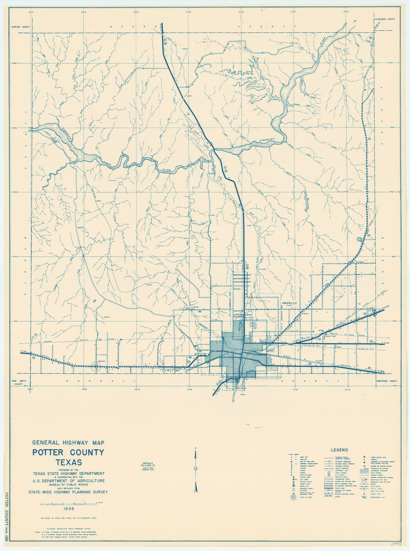
General Highway Map, Potter County, Texas
-
Map/Doc
79220
-
Collection
Texas State Library and Archives
-
Object Dates
1940 (Creation Date)
-
People and Organizations
Texas State Highway Department (Publisher)
-
Counties
Potter
-
Subjects
County
-
Height x Width
24.6 x 18.3 inches
62.5 x 46.5 cm
-
Comments
Prints available courtesy of the Texas State Library and Archives.
More info can be found here: TSLAC Map 04971
Part of: Texas State Library and Archives
Map of the State of Coahuila and Texas

Print $20.00
Map of the State of Coahuila and Texas
1833
Size 16.1 x 20.2 inches
Map/Doc 76246
Phelps and Watson's Historical and Military Map of the Border and Southern States

Print $20.00
Phelps and Watson's Historical and Military Map of the Border and Southern States
1863
Size 25.5 x 36.3 inches
Map/Doc 76202
Preliminary Chart of the Northwestern Part of the Gulf of Mexico

Print $20.00
Preliminary Chart of the Northwestern Part of the Gulf of Mexico
1855
Size 32.3 x 41.6 inches
Map/Doc 79334
General Highway Map, Fannin County, Texas

Print $20.00
General Highway Map, Fannin County, Texas
1961
Size 24.7 x 18.0 inches
Map/Doc 79464
Map of the River Sabine from its Mouth on the Gulf of Mexico in the Sea to Logan's Ferry in Latitude 31° 58' 25" North

Print $20.00
Map of the River Sabine from its Mouth on the Gulf of Mexico in the Sea to Logan's Ferry in Latitude 31° 58' 25" North
1840
Size 35.5 x 9.1 inches
Map/Doc 79294
General Highway Map, Randall County, Texas

Print $20.00
General Highway Map, Randall County, Texas
1961
Size 18.1 x 24.5 inches
Map/Doc 79635
General Highway Map, Gaines County, Texas

Print $20.00
General Highway Map, Gaines County, Texas
1961
Size 24.6 x 18.0 inches
Map/Doc 79475
General Highway Map, Anderson County, Texas

Print $20.00
General Highway Map, Anderson County, Texas
1961
Size 18.3 x 25.0 inches
Map/Doc 79346
General Highway Map, Anderson County, Texas

Print $20.00
General Highway Map, Anderson County, Texas
1936
Size 18.4 x 24.9 inches
Map/Doc 79001
General Highway Map, Hood County, Somervell County, Texas

Print $20.00
General Highway Map, Hood County, Somervell County, Texas
1961
Size 18.1 x 24.6 inches
Map/Doc 79523
General Highway Map, Jeff Davis County, Texas

Print $20.00
General Highway Map, Jeff Davis County, Texas
1940
Size 18.6 x 24.8 inches
Map/Doc 79143
[General Highway Map Supplementary Sheet Showing Detail of Cities and Towns in Bexar County Texas]
![76289, [General Highway Map Supplementary Sheet Showing Detail of Cities and Towns in Bexar County Texas], Texas State Library and Archives](https://historictexasmaps.com/wmedia_w700/maps/76289.tif.jpg)
Print $20.00
[General Highway Map Supplementary Sheet Showing Detail of Cities and Towns in Bexar County Texas]
1936
Size 18.7 x 24.9 inches
Map/Doc 76289
You may also like
Panhandle of Texas

Print $20.00
- Digital $50.00
Panhandle of Texas
1907
Size 11.4 x 14.4 inches
Map/Doc 95889
Jefferson County Sketch File 43

Print $20.00
- Digital $50.00
Jefferson County Sketch File 43
1957
Size 26.6 x 19.6 inches
Map/Doc 11877
Edwards County Working Sketch 70

Print $20.00
- Digital $50.00
Edwards County Working Sketch 70
1957
Size 22.5 x 22.4 inches
Map/Doc 68946
Webb County Working Sketch 8

Print $20.00
- Digital $50.00
Webb County Working Sketch 8
1911
Size 43.1 x 39.9 inches
Map/Doc 72373
Cass County Working Sketch 4

Print $20.00
- Digital $50.00
Cass County Working Sketch 4
1936
Size 33.7 x 29.1 inches
Map/Doc 67907
Erath County Working Sketch 19

Print $20.00
- Digital $50.00
Erath County Working Sketch 19
1963
Size 30.1 x 27.6 inches
Map/Doc 69100

Tarrant County Rolled Sketch 3

Print $20.00
- Digital $50.00
Tarrant County Rolled Sketch 3
Size 23.3 x 28.6 inches
Map/Doc 7910
North Sulphur River, Bartley Gin Sheet

Print $20.00
- Digital $50.00
North Sulphur River, Bartley Gin Sheet
1928
Size 13.3 x 22.0 inches
Map/Doc 78323
Hardeman County Sketch File 2

Print $6.00
- Digital $50.00
Hardeman County Sketch File 2
1879
Size 9.0 x 7.7 inches
Map/Doc 24984
Padre Island National Seashore, Texas - Dependent Resurvey

Print $4.00
- Digital $50.00
Padre Island National Seashore, Texas - Dependent Resurvey
2001
Size 18.4 x 24.1 inches
Map/Doc 60553
