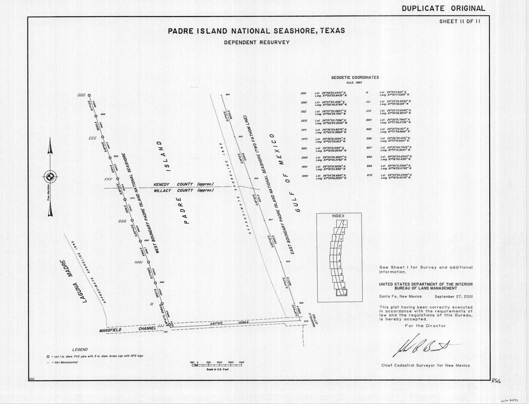
Padre Island National Seashore, Texas - Dependent Resurvey
-
Map/Doc
60553
-
Collection
General Map Collection
-
Object Dates
2001 (Creation Date)
-
Height x Width
18.4 x 24.1 inches
46.7 x 61.2 cm
Part of: General Map Collection
Map of Texas from the most recent authorities

Print $20.00
- Digital $50.00
Map of Texas from the most recent authorities
1845
Map/Doc 93945
Denton County Working Sketch 7

Print $20.00
- Digital $50.00
Denton County Working Sketch 7
1958
Size 26.0 x 28.8 inches
Map/Doc 68612
Flight Mission No. BRA-16M, Frame 92, Jefferson County

Print $20.00
- Digital $50.00
Flight Mission No. BRA-16M, Frame 92, Jefferson County
1953
Size 18.6 x 22.3 inches
Map/Doc 85704
Polk County Sketch File 30a

Print $8.00
- Digital $50.00
Polk County Sketch File 30a
Size 14.2 x 8.8 inches
Map/Doc 34215
Concho County Sketch File 27

Print $8.00
- Digital $50.00
Concho County Sketch File 27
1885
Size 11.3 x 8.8 inches
Map/Doc 19162
Flight Mission No. DAG-14K, Frame 145, Matagorda County

Print $20.00
- Digital $50.00
Flight Mission No. DAG-14K, Frame 145, Matagorda County
1952
Size 18.6 x 22.6 inches
Map/Doc 86312
Walker County Working Sketch 17

Print $20.00
- Digital $50.00
Walker County Working Sketch 17
1982
Size 19.9 x 20.8 inches
Map/Doc 72297
Port Facilities at Houston, Tex.

Print $20.00
- Digital $50.00
Port Facilities at Houston, Tex.
1924
Size 14.1 x 30.3 inches
Map/Doc 97167
Map of Presidio County

Print $20.00
- Digital $50.00
Map of Presidio County
1895
Size 47.7 x 38.5 inches
Map/Doc 66987
Map of Marion County

Print $20.00
- Digital $50.00
Map of Marion County
1920
Size 29.2 x 42.2 inches
Map/Doc 78405
Goliad County Sketch File 37

Print $4.00
- Digital $50.00
Goliad County Sketch File 37
1850
Size 10.2 x 8.3 inches
Map/Doc 24336
[Folder for] Nautical Chart 11303: Texas Intracoastal Waterway, Laguna Madre, Chubby Island to Stover Point including the Arroyo Colorado
![75914, [Folder for] Nautical Chart 11303: Texas Intracoastal Waterway, Laguna Madre, Chubby Island to Stover Point including the Arroyo Colorado, General Map Collection](https://historictexasmaps.com/wmedia_w700/maps/75914-1.tif.jpg)
Print $20.00
- Digital $50.00
[Folder for] Nautical Chart 11303: Texas Intracoastal Waterway, Laguna Madre, Chubby Island to Stover Point including the Arroyo Colorado
1976
Size 15.9 x 18.8 inches
Map/Doc 75914
You may also like
Goliad County Sketch File X

Print $10.00
- Digital $50.00
Goliad County Sketch File X
1893
Size 8.3 x 12.8 inches
Map/Doc 24332
Flight Mission No. CRE-2R, Frame 89, Jackson County

Print $20.00
- Digital $50.00
Flight Mission No. CRE-2R, Frame 89, Jackson County
1956
Size 18.6 x 22.2 inches
Map/Doc 85361

Rockwall County Boundary File 1

Print $10.00
- Digital $50.00
Rockwall County Boundary File 1
Size 13.3 x 8.3 inches
Map/Doc 58380
Kendall County

Print $20.00
- Digital $50.00
Kendall County
1946
Size 41.1 x 35.3 inches
Map/Doc 77336
Pecos County Rolled Sketch Q

Print $20.00
- Digital $50.00
Pecos County Rolled Sketch Q
Size 18.7 x 12.2 inches
Map/Doc 7311
Cooke County Sketch File 13

Print $20.00
- Digital $50.00
Cooke County Sketch File 13
1859
Size 27.1 x 19.0 inches
Map/Doc 11171
Shelby County Sketch File 14

Print $4.00
- Digital $50.00
Shelby County Sketch File 14
1872
Size 9.8 x 8.9 inches
Map/Doc 36622

Brown County Working Sketch 9

Print $40.00
- Digital $50.00
Brown County Working Sketch 9
1977
Size 63.7 x 36.4 inches
Map/Doc 67774

Dimmit County Rolled Sketch 21

Print $20.00
- Digital $50.00
Dimmit County Rolled Sketch 21
2013
Size 25.5 x 22.5 inches
Map/Doc 93488