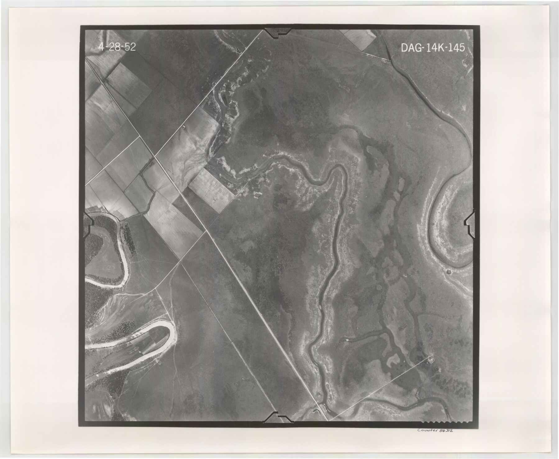
Flight Mission No. DAG-14K, Frame 145, Matagorda County
DAG-14K-145
-
Map/Doc
86312
-
Collection
General Map Collection
-
Object Dates
1952/4/28 (Creation Date)
-
People and Organizations
U. S. Department of Agriculture (Publisher)
-
Counties
Matagorda
-
Subjects
Aerial Photograph
-
Height x Width
18.6 x 22.6 inches
47.2 x 57.4 cm
-
Comments
Flown by Aero Exploration Company of Tulsa, Oklahoma.
Part of: General Map Collection
Duval County Sketch File 51

Print $20.00
- Digital $50.00
Duval County Sketch File 51
Size 19.1 x 33.8 inches
Map/Doc 11401
A Map of Part of Matagorda Peninsula, State of Texas

Print $40.00
- Digital $50.00
A Map of Part of Matagorda Peninsula, State of Texas
1856
Size 34.4 x 54.2 inches
Map/Doc 69980
Flight Mission No. BRA-7M, Frame 19, Jefferson County

Print $20.00
- Digital $50.00
Flight Mission No. BRA-7M, Frame 19, Jefferson County
1953
Size 18.8 x 22.4 inches
Map/Doc 85470
Eastland County Working Sketch 45

Print $20.00
- Digital $50.00
Eastland County Working Sketch 45
1979
Size 31.3 x 43.7 inches
Map/Doc 68826
Castro County Rolled Sketch 8

Print $20.00
- Digital $50.00
Castro County Rolled Sketch 8
Size 34.1 x 28.8 inches
Map/Doc 5418
Flight Mission No. BRE-1P, Frame 45, Nueces County

Print $20.00
- Digital $50.00
Flight Mission No. BRE-1P, Frame 45, Nueces County
1956
Size 16.5 x 16.1 inches
Map/Doc 86634
Andrews County Sketch File 8

Print $36.00
- Digital $50.00
Andrews County Sketch File 8
1943
Size 11.2 x 8.9 inches
Map/Doc 12831
Burnet County Sketch File 16

Print $40.00
- Digital $50.00
Burnet County Sketch File 16
Size 15.8 x 12.8 inches
Map/Doc 16704

Zavala County Rolled Sketch 14

Print $20.00
- Digital $50.00
Zavala County Rolled Sketch 14
1887
Size 28.1 x 40.8 inches
Map/Doc 10175
Menard County Boundary File 13a

Print $6.00
- Digital $50.00
Menard County Boundary File 13a
Size 11.2 x 8.7 inches
Map/Doc 57137
Dimmit County Working Sketch 48

Print $40.00
- Digital $50.00
Dimmit County Working Sketch 48
1980
Size 78.7 x 43.7 inches
Map/Doc 68709
You may also like
Amistad International Reservoir on Rio Grande 88

Print $20.00
- Digital $50.00
Amistad International Reservoir on Rio Grande 88
1949
Size 28.5 x 40.2 inches
Map/Doc 75517
Stonewall County Boundary File 4a

Print $18.00
- Digital $50.00
Stonewall County Boundary File 4a
Size 14.2 x 8.8 inches
Map/Doc 58984
Llano County Working Sketch 13

Print $20.00
- Digital $50.00
Llano County Working Sketch 13
1987
Size 23.0 x 22.3 inches
Map/Doc 70631
Sketch showing Damon's Mound and adjacent surveys

Print $20.00
- Digital $50.00
Sketch showing Damon's Mound and adjacent surveys
Size 19.4 x 17.7 inches
Map/Doc 90218
Matagorda County Sketch File 10

Print $26.00
- Digital $50.00
Matagorda County Sketch File 10
Size 8.3 x 5.2 inches
Map/Doc 30755
Willie Winn Tract

Print $20.00
- Digital $50.00
Willie Winn Tract
1903
Size 13.2 x 14.1 inches
Map/Doc 92286
Outer Continental Shelf Leasing Maps (Louisiana Offshore Operations)

Print $20.00
- Digital $50.00
Outer Continental Shelf Leasing Maps (Louisiana Offshore Operations)
1954
Size 14.2 x 16.4 inches
Map/Doc 76115
Official Copy of the Map of Milam County made for the International and G. N. R. R. Co.

Print $20.00
- Digital $50.00
Official Copy of the Map of Milam County made for the International and G. N. R. R. Co.
1877
Size 23.9 x 22.5 inches
Map/Doc 581
Angelina County Sketch File 15e

Print $8.00
- Digital $50.00
Angelina County Sketch File 15e
Size 14.1 x 8.7 inches
Map/Doc 12990
Flight Mission No. DQN-6K, Frame 69, Calhoun County

Print $20.00
- Digital $50.00
Flight Mission No. DQN-6K, Frame 69, Calhoun County
1953
Size 18.6 x 22.1 inches
Map/Doc 84441
Flight Mission No. CUG-3P, Frame 194, Kleberg County

Print $20.00
- Digital $50.00
Flight Mission No. CUG-3P, Frame 194, Kleberg County
1956
Size 18.4 x 22.2 inches
Map/Doc 86298
Map of Collingsworth County

Print $20.00
- Digital $50.00
Map of Collingsworth County
1899
Size 41.1 x 38.6 inches
Map/Doc 4738