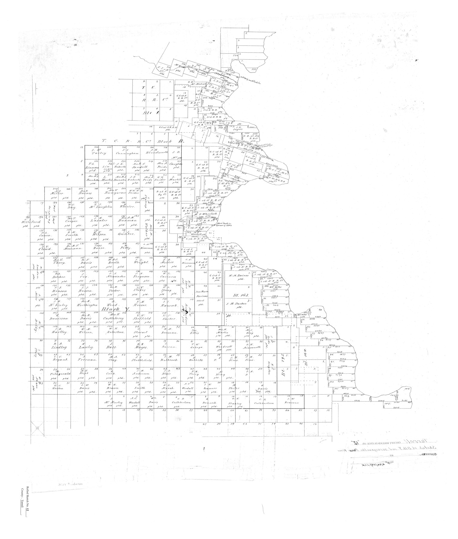
Terrell County Rolled Sketch 12
[Sketch of Block Y and surveys on the Pecos River]
-
Map/Doc
7926
-
Collection
General Map Collection
-
Object Dates
1938/4/26 (File Date)
-
Counties
Terrell Val Verde
-
Subjects
Surveying Rolled Sketch
-
Height x Width
37.1 x 31.5 inches
94.2 x 80.0 cm
Part of: General Map Collection
Val Verde County Sketch File 21

Print $26.00
- Digital $50.00
Val Verde County Sketch File 21
1892
Size 18.3 x 24.4 inches
Map/Doc 12570
Kleberg County Rolled Sketch 10-15

Print $20.00
- Digital $50.00
Kleberg County Rolled Sketch 10-15
1951
Size 37.4 x 33.1 inches
Map/Doc 9367
Goliad County Working Sketch 9

Print $20.00
- Digital $50.00
Goliad County Working Sketch 9
1938
Size 19.3 x 27.6 inches
Map/Doc 63199
Houston County Working Sketch 15

Print $20.00
- Digital $50.00
Houston County Working Sketch 15
1960
Size 26.3 x 20.0 inches
Map/Doc 66245
Winkler County Sketch File 4

Print $8.00
- Digital $50.00
Winkler County Sketch File 4
Size 14.3 x 8.8 inches
Map/Doc 40463
Pecos County Rolled Sketch JAS

Print $20.00
- Digital $50.00
Pecos County Rolled Sketch JAS
1937
Size 34.9 x 31.4 inches
Map/Doc 9744
Jeff Davis County Sketch File 2

Print $4.00
- Digital $50.00
Jeff Davis County Sketch File 2
1888
Size 10.7 x 8.8 inches
Map/Doc 27888
Flight Mission No. DQN-3K, Frame 75, Calhoun County

Print $20.00
- Digital $50.00
Flight Mission No. DQN-3K, Frame 75, Calhoun County
1953
Size 18.6 x 22.4 inches
Map/Doc 84366
Ward County Sketch File 7

Print $4.00
- Digital $50.00
Ward County Sketch File 7
1927
Size 9.8 x 8.6 inches
Map/Doc 39621
Flight Mission No. DIX-10P, Frame 70, Aransas County

Print $20.00
- Digital $50.00
Flight Mission No. DIX-10P, Frame 70, Aransas County
1956
Size 18.7 x 22.4 inches
Map/Doc 83931
Crockett County Rolled Sketch 69

Print $40.00
- Digital $50.00
Crockett County Rolled Sketch 69
1949
Size 39.4 x 54.8 inches
Map/Doc 8721
Orange County Sketch File 34

Print $20.00
- Digital $50.00
Orange County Sketch File 34
1929
Size 23.5 x 27.7 inches
Map/Doc 12126
You may also like
Bell County Working Sketch 4

Print $20.00
- Digital $50.00
Bell County Working Sketch 4
1942
Size 26.9 x 21.0 inches
Map/Doc 67344
Aransas County Sketch File 8

Print $4.00
- Digital $50.00
Aransas County Sketch File 8
Size 11.7 x 7.9 inches
Map/Doc 13114

Presidio County Sketch File 43

Print $10.00
- Digital $50.00
Presidio County Sketch File 43
1913
Size 11.2 x 8.7 inches
Map/Doc 34520
Starr County Sketch File 22

Print $20.00
- Digital $50.00
Starr County Sketch File 22
1922
Size 16.4 x 35.9 inches
Map/Doc 12331
McLennan County Working Sketch Graphic Index

Print $20.00
- Digital $50.00
McLennan County Working Sketch Graphic Index
1946
Size 41.8 x 44.8 inches
Map/Doc 76637
Right of Way and Track Map of The Wichita Falls & Southern Railroad Company

Print $40.00
- Digital $50.00
Right of Way and Track Map of The Wichita Falls & Southern Railroad Company
1942
Size 24.7 x 56.3 inches
Map/Doc 64521
Hale County Sketch File B

Print $20.00
- Digital $50.00
Hale County Sketch File B
1897
Size 17.3 x 23.9 inches
Map/Doc 11599
Travels to the source of the Missouri River and across the American Continent to the Pacific Ocean - Vol. 2

Travels to the source of the Missouri River and across the American Continent to the Pacific Ocean - Vol. 2
1815
Map/Doc 97413
[Southeast Yoakum County, Southwest Terry County and North Gaines County]
![91876, [Southeast Yoakum County, Southwest Terry County and North Gaines County], Twichell Survey Records](https://historictexasmaps.com/wmedia_w700/maps/91876-1.tif.jpg)
Print $20.00
- Digital $50.00
[Southeast Yoakum County, Southwest Terry County and North Gaines County]
Size 20.7 x 16.6 inches
Map/Doc 91876

Newton County Working Sketch 2

Print $20.00
- Digital $50.00
Newton County Working Sketch 2
1905
Size 14.5 x 19.3 inches
Map/Doc 71248