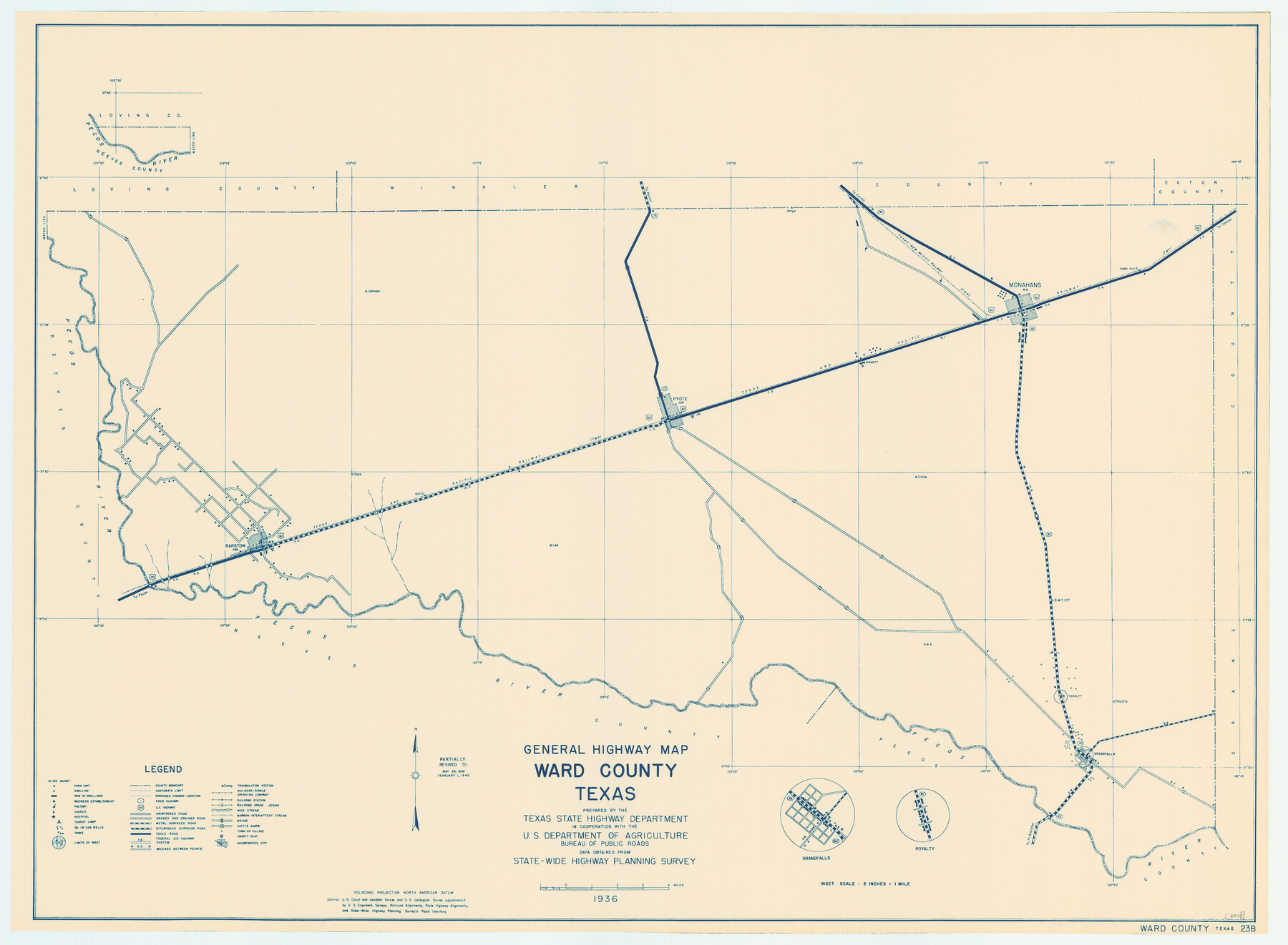
General Highway Map, Ward County, Texas
-
Map/Doc
79271
-
Collection
Texas State Library and Archives
-
Object Dates
1940 (Creation Date)
-
People and Organizations
Texas State Highway Department (Publisher)
-
Counties
Ward
-
Subjects
County
-
Height x Width
18.5 x 25.1 inches
47.0 x 63.8 cm
-
Comments
Prints available courtesy of the Texas State Library and Archives.
More info can be found here: TSLAC Map 05018
Part of: Texas State Library and Archives
General Highway Map, Henderson County, Texas

Print $20.00
General Highway Map, Henderson County, Texas
1961
Size 24.9 x 18.0 inches
Map/Doc 79517
General Highway Map. Detail of Cities and Towns in Travis County, Texas

Print $20.00
General Highway Map. Detail of Cities and Towns in Travis County, Texas
1961
Size 18.2 x 24.8 inches
Map/Doc 79682
Map of Texas Containing the Latest Grants and Discoveries

Print $20.00
Map of Texas Containing the Latest Grants and Discoveries
1836
Size 16.2 x 10.6 inches
Map/Doc 76245
United States Including California, Texas, and c.

Print $20.00
United States Including California, Texas, and c.
1861
Size 21.4 x 25.7 inches
Map/Doc 76238
General Highway Map, Starr County, Texas

Print $20.00
General Highway Map, Starr County, Texas
1961
Size 25.1 x 18.3 inches
Map/Doc 79659
General Highway Map. Detail of Cities and Towns in Erath County, Texas

Print $20.00
General Highway Map. Detail of Cities and Towns in Erath County, Texas
1961
Size 18.2 x 24.7 inches
Map/Doc 79461
General Highway Map, Williamson County, Texas

Print $20.00
General Highway Map, Williamson County, Texas
1961
Size 24.8 x 18.2 inches
Map/Doc 79713
General Highway Map, Jim Wells County, Texas

Print $20.00
General Highway Map, Jim Wells County, Texas
1940
Size 18.4 x 24.8 inches
Map/Doc 79148
General Highway Map, Falls County, Texas

Print $20.00
General Highway Map, Falls County, Texas
1961
Size 18.2 x 24.5 inches
Map/Doc 79462

Colton's New Map of the State of Texas Compiled from J. DeCordova's large Map

Print $20.00
Colton's New Map of the State of Texas Compiled from J. DeCordova's large Map
1858
Size 17.0 x 26.2 inches
Map/Doc 79736
General Highway Map, Brewster County, Texas

Print $20.00
General Highway Map, Brewster County, Texas
1940
Size 18.5 x 25.2 inches
Map/Doc 79027
You may also like
Culberson County Working Sketch 4

Print $20.00
- Digital $50.00
Culberson County Working Sketch 4
Size 37.7 x 32.2 inches
Map/Doc 68456
Angelina County Working Sketch 9

Print $20.00
- Digital $50.00
Angelina County Working Sketch 9
1924
Size 28.5 x 28.5 inches
Map/Doc 67090
[Blocks 1 and H]
![90719, [Blocks 1 and H], Twichell Survey Records](https://historictexasmaps.com/wmedia_w700/maps/90719-1.tif.jpg)
Print $20.00
- Digital $50.00
[Blocks 1 and H]
Size 27.1 x 21.6 inches
Map/Doc 90719
Bexar County Sketch File 2

Print $4.00
- Digital $50.00
Bexar County Sketch File 2
1849
Size 9.1 x 8.3 inches
Map/Doc 14471
Flight Mission No. DIX-5P, Frame 105, Aransas County

Print $20.00
- Digital $50.00
Flight Mission No. DIX-5P, Frame 105, Aransas County
1956
Size 17.7 x 17.8 inches
Map/Doc 83783
Hamilton County Rolled Sketch 10

Print $20.00
- Digital $50.00
Hamilton County Rolled Sketch 10
1949
Size 22.2 x 27.5 inches
Map/Doc 6059
Terlingua Special Map, The University of Texas Mineral Survey, Brewster County, Texas

Print $20.00
- Digital $50.00
Terlingua Special Map, The University of Texas Mineral Survey, Brewster County, Texas
1902
Size 20.4 x 22.6 inches
Map/Doc 482
Delta County Working Sketch 3

Print $20.00
- Digital $50.00
Delta County Working Sketch 3
1963
Size 24.9 x 24.4 inches
Map/Doc 68640
Starr County Rolled Sketch 38

Print $40.00
- Digital $50.00
Starr County Rolled Sketch 38
1944
Size 97.9 x 25.0 inches
Map/Doc 10297
O. L. Fulenwider Farm SE 1/4 Section 83, Block 1 Halsell Subdivision

Print $3.00
- Digital $50.00
O. L. Fulenwider Farm SE 1/4 Section 83, Block 1 Halsell Subdivision
Size 11.9 x 14.3 inches
Map/Doc 92407
Hidalgo County Working Sketch 5

Print $20.00
- Digital $50.00
Hidalgo County Working Sketch 5
1956
Size 38.1 x 37.9 inches
Map/Doc 66182
[Sketch of a portion of a Bastrop District GLO map]
![90240, [Sketch of a portion of a Bastrop District GLO map], Twichell Survey Records](https://historictexasmaps.com/wmedia_w700/maps/90240-1.tif.jpg)
Print $3.00
- Digital $50.00
[Sketch of a portion of a Bastrop District GLO map]
1923
Size 11.4 x 15.1 inches
Map/Doc 90240