General Highway Map. Detail of Cities and Towns in Dallas County, Texas [Dallas and vicinity]
-
Map/Doc
79432
-
Collection
Texas State Library and Archives
-
Object Dates
1961 (Creation Date)
-
People and Organizations
Texas State Highway Department (Publisher)
-
Counties
Dallas
-
Subjects
City County
-
Height x Width
18.1 x 24.7 inches
46.0 x 62.7 cm
-
Comments
Prints available courtesy of the Texas State Library and Archives.
More info can be found here: TSLAC Map 05106
Part of: Texas State Library and Archives
General Highway Map, Matagorda County, Texas


Print $20.00
General Highway Map, Matagorda County, Texas
1939
Size 24.6 x 18.4 inches
Map/Doc 79188
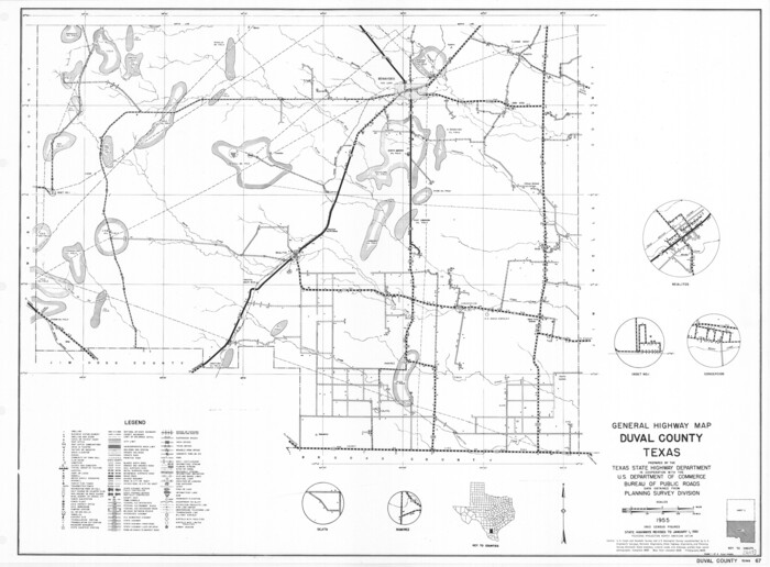
General Highway Map, Duval County, Texas

Print $20.00
General Highway Map, Duval County, Texas
1961
Size 18.1 x 24.6 inches
Map/Doc 79448
General Highway Map, Maverick County, Zavala County, Texas


Print $20.00
General Highway Map, Maverick County, Zavala County, Texas
1940
Size 18.6 x 24.7 inches
Map/Doc 79189
General Highway Map, Angelina County, Texas


Print $20.00
General Highway Map, Angelina County, Texas
1940
Size 18.5 x 24.9 inches
Map/Doc 79003
General Highway Map. Detail of Cities and Towns in Smith County, Texas. City Map, Tyler, Smith County, Texas


Print $20.00
General Highway Map. Detail of Cities and Towns in Smith County, Texas. City Map, Tyler, Smith County, Texas
1961
Size 18.1 x 24.9 inches
Map/Doc 79656
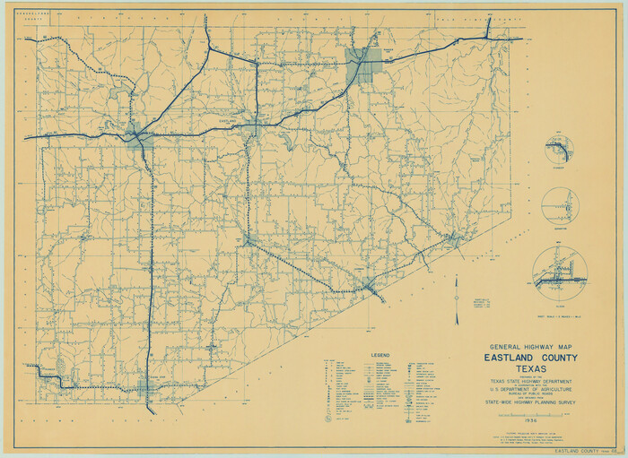
General Highway Map, Eastland County, Texas

Print $20.00
General Highway Map, Eastland County, Texas
1940
Size 18.1 x 24.8 inches
Map/Doc 79080
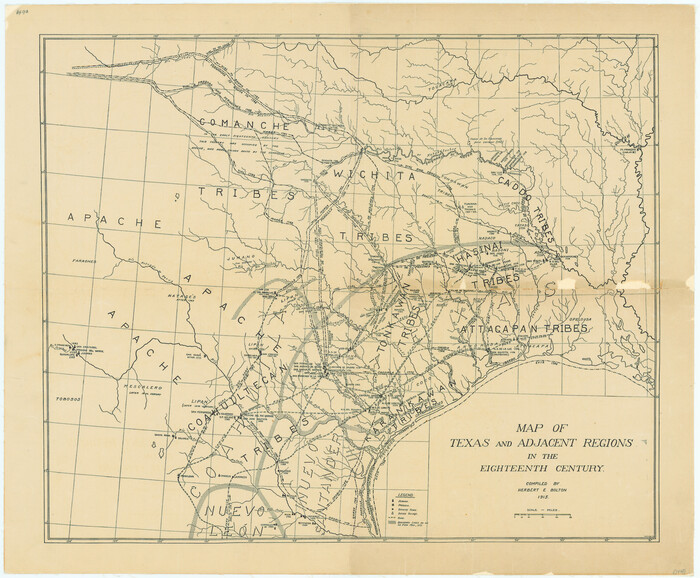
Map of Texas and Adjacent Regions in the Eighteenth Century

Print $20.00
Map of Texas and Adjacent Regions in the Eighteenth Century
1915
Size 19.3 x 23.3 inches
Map/Doc 79743
General Highway Map, Hardeman County, Texas


Print $20.00
General Highway Map, Hardeman County, Texas
1940
Size 25.0 x 18.3 inches
Map/Doc 79113
General Highway Map. Detail of Cities and Towns in Dallas County, Texas [Dallas and vicinity]
![79433, General Highway Map. Detail of Cities and Towns in Dallas County, Texas [Dallas and vicinity], Texas State Library and Archives](https://historictexasmaps.com/wmedia_w700/maps/79433.tif.jpg)
![79433, General Highway Map. Detail of Cities and Towns in Dallas County, Texas [Dallas and vicinity], Texas State Library and Archives](https://historictexasmaps.com/wmedia_w700/maps/79433.tif.jpg)
Print $20.00
General Highway Map. Detail of Cities and Towns in Dallas County, Texas [Dallas and vicinity]
1961
Size 18.1 x 24.5 inches
Map/Doc 79433
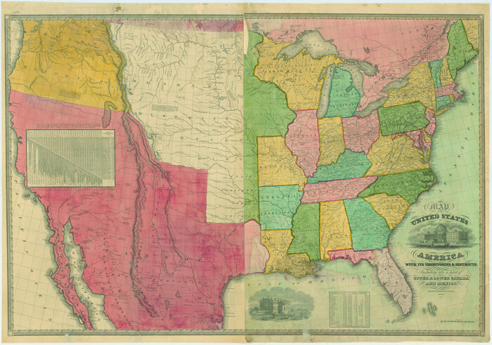
Map of the United States of America with its territories and districts including also a part of upper and lower Canada and Mexico

Print $20.00
Map of the United States of America with its territories and districts including also a part of upper and lower Canada and Mexico
1835
Size 30.3 x 43.2 inches
Map/Doc 79728
J. De Cordova's Map of the State of Texas Compiled from the records of the General Land Office of the State
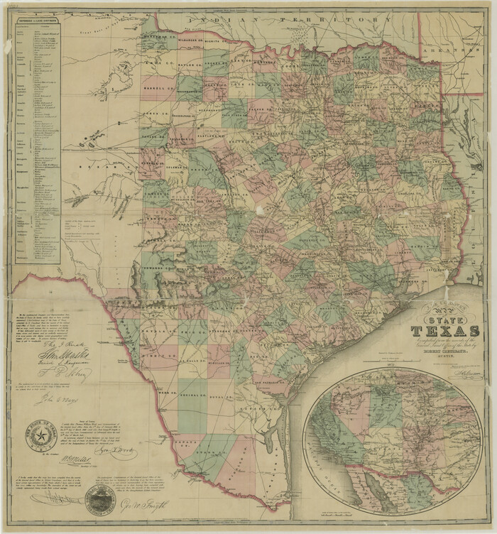

Print $20.00
J. De Cordova's Map of the State of Texas Compiled from the records of the General Land Office of the State
1872
Size 34.3 x 31.9 inches
Map/Doc 76216
Official Highway Map of Texas


Print $20.00
Official Highway Map of Texas
1928
Size 42.3 x 46.2 inches
Map/Doc 79746
You may also like
Jasper County Working Sketch 29


Print $20.00
- Digital $50.00
Jasper County Working Sketch 29
1956
Size 20.6 x 31.4 inches
Map/Doc 66491
Gregg County School Land League 2

Print $20.00
- Digital $50.00
Gregg County School Land League 2
Size 16.4 x 17.7 inches
Map/Doc 90614
Flight Mission No. CRC-5R, Frame 34, Chambers County
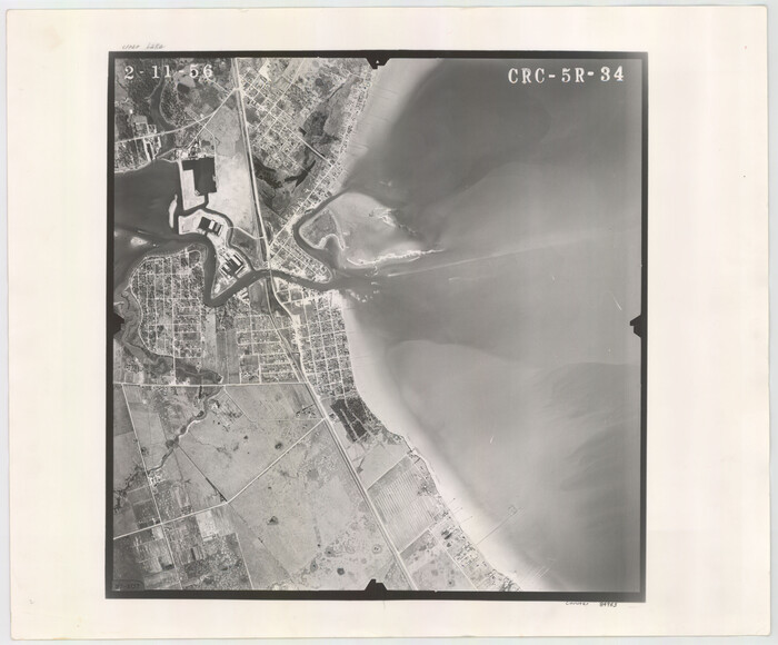

Print $20.00
- Digital $50.00
Flight Mission No. CRC-5R, Frame 34, Chambers County
1956
Size 18.5 x 22.3 inches
Map/Doc 84953
Webb County Working Sketch 4


Print $20.00
- Digital $50.00
Webb County Working Sketch 4
1907
Size 45.6 x 42.5 inches
Map/Doc 72369
Hill County Sketch File 26


Print $12.00
- Digital $50.00
Hill County Sketch File 26
1892
Size 8.9 x 8.5 inches
Map/Doc 26522
Limestone County Working Sketch 17


Print $20.00
- Digital $50.00
Limestone County Working Sketch 17
1959
Size 42.2 x 33.1 inches
Map/Doc 70567
Sabine County Working Sketch 15
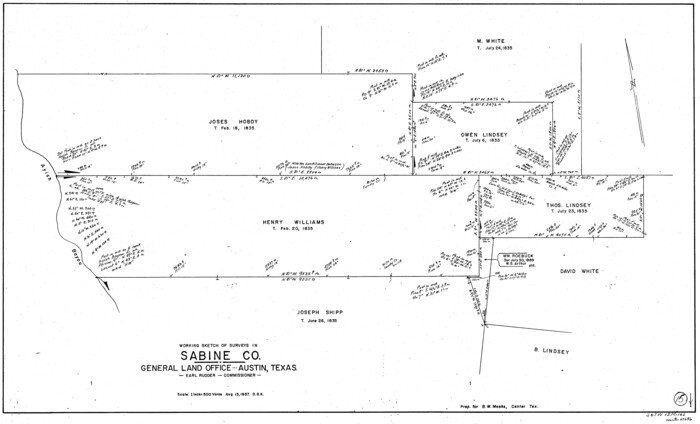

Print $20.00
- Digital $50.00
Sabine County Working Sketch 15
1957
Size 21.2 x 34.9 inches
Map/Doc 63686
Live Oak County Working Sketch 19


Print $20.00
- Digital $50.00
Live Oak County Working Sketch 19
1962
Size 27.4 x 34.5 inches
Map/Doc 70604
Brown County Working Sketch 11

Print $20.00
- Digital $50.00
Brown County Working Sketch 11
1983
Size 45.5 x 43.1 inches
Map/Doc 67776
Franklin County Sketch File 4

Print $6.00
- Digital $50.00
Franklin County Sketch File 4
1855
Size 13.4 x 11.4 inches
Map/Doc 23015
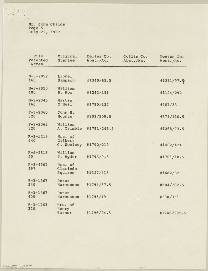
Dallas County Boundary File 7 and 7a and 7b

Print $126.00
- Digital $50.00
Dallas County Boundary File 7 and 7a and 7b
Size 11.2 x 8.6 inches
Map/Doc 52295
Runnels County Rolled Sketch 40

Print $20.00
- Digital $50.00
Runnels County Rolled Sketch 40
Size 33.5 x 40.9 inches
Map/Doc 7527
![79432, General Highway Map. Detail of Cities and Towns in Dallas County, Texas [Dallas and vicinity], Texas State Library and Archives](https://historictexasmaps.com/wmedia_w1800h1800/maps/79432.tif.jpg)