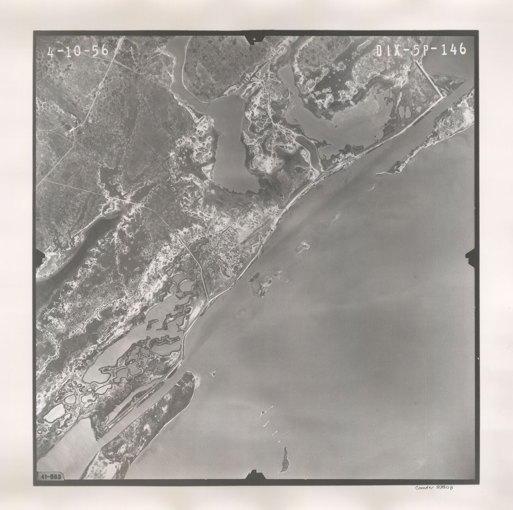
Flight Mission No. DIX-5P, Frame 146, Aransas County
DIX-5P-146
-
Map/Doc
83808
-
Collection
General Map Collection
-
Object Dates
1956/4/10 (Creation Date)
-
People and Organizations
U. S. Department of Agriculture (Publisher)
-
Counties
Aransas
-
Subjects
Aerial Photograph
-
Height x Width
17.7 x 17.9 inches
45.0 x 45.5 cm
-
Comments
Flown by V. L. Beavers and Associates of San Antonio, Texas.
Part of: General Map Collection
Flight Mission No. BRA-7M, Frame 118, Jefferson County

Print $20.00
- Digital $50.00
Flight Mission No. BRA-7M, Frame 118, Jefferson County
1953
Size 18.6 x 22.2 inches
Map/Doc 85512
Panola County

Print $20.00
- Digital $50.00
Panola County
1947
Size 38.6 x 38.2 inches
Map/Doc 77390
Galveston County Sketch File 73g

Print $20.00
- Digital $50.00
Galveston County Sketch File 73g
Size 32.1 x 41.2 inches
Map/Doc 10460
Upshur County Working Sketch 15b

Print $20.00
- Digital $50.00
Upshur County Working Sketch 15b
1996
Size 36.7 x 29.4 inches
Map/Doc 69572
Cooke County Working Sketch 22

Print $20.00
- Digital $50.00
Cooke County Working Sketch 22
1963
Size 37.0 x 40.2 inches
Map/Doc 68259
Collin County Boundary File 18f

Print $22.00
- Digital $50.00
Collin County Boundary File 18f
Size 12.9 x 8.2 inches
Map/Doc 51757
Flight Mission No. CUG-3P, Frame 24, Kleberg County

Print $20.00
- Digital $50.00
Flight Mission No. CUG-3P, Frame 24, Kleberg County
1956
Size 18.4 x 22.3 inches
Map/Doc 86234
St. L. S-W. Ry. of Texas Map of Lufkin Branch in Angelina County, Texas

Print $20.00
- Digital $50.00
St. L. S-W. Ry. of Texas Map of Lufkin Branch in Angelina County, Texas
1913
Size 24.0 x 12.1 inches
Map/Doc 64562
Plat of a survey on Padre Island in Cameron County surveyed for South Padre Development Corporation by Claunch and Associates

Print $40.00
- Digital $50.00
Plat of a survey on Padre Island in Cameron County surveyed for South Padre Development Corporation by Claunch and Associates
1971
Size 68.7 x 42.8 inches
Map/Doc 61428
Garza County Working Sketch 9

Print $20.00
- Digital $50.00
Garza County Working Sketch 9
1952
Size 15.7 x 18.0 inches
Map/Doc 63156
Brazoria County Aerial Photograph Index Sheet 5

Print $20.00
- Digital $50.00
Brazoria County Aerial Photograph Index Sheet 5
1953
Size 24.0 x 19.5 inches
Map/Doc 83667
Erath County Sketch File 19

Print $4.00
- Digital $50.00
Erath County Sketch File 19
1891
Size 8.4 x 12.9 inches
Map/Doc 22298
You may also like
Surveys in the Milam District at the fork of the Yegua and Brazos Rivers and on the Leon River

Print $2.00
- Digital $50.00
Surveys in the Milam District at the fork of the Yegua and Brazos Rivers and on the Leon River
1846
Size 9.2 x 16.0 inches
Map/Doc 254
St Francis situated in Potter and Carson Counties, Texas

Print $20.00
- Digital $50.00
St Francis situated in Potter and Carson Counties, Texas
Size 22.0 x 26.1 inches
Map/Doc 93109
Kleberg County Rolled Sketch 5

Print $20.00
- Digital $50.00
Kleberg County Rolled Sketch 5
Size 27.8 x 21.8 inches
Map/Doc 6548
Houston County Sketch File 8

Print $22.00
- Digital $50.00
Houston County Sketch File 8
1858
Size 12.9 x 8.3 inches
Map/Doc 26768
Mitchell County Sketch File 7A

Print $20.00
- Digital $50.00
Mitchell County Sketch File 7A
1906
Size 20.4 x 14.0 inches
Map/Doc 12097
Sutton County Working Sketch 20

Print $20.00
- Digital $50.00
Sutton County Working Sketch 20
1978
Size 34.5 x 27.4 inches
Map/Doc 62363
Medina County Working Sketch 29

Print $20.00
- Digital $50.00
Medina County Working Sketch 29
Size 40.1 x 25.0 inches
Map/Doc 70944
Maps of Gulf Intracoastal Waterway, Texas - Sabine River to the Rio Grande and connecting waterways including ship channels

Print $20.00
- Digital $50.00
Maps of Gulf Intracoastal Waterway, Texas - Sabine River to the Rio Grande and connecting waterways including ship channels
1966
Size 14.6 x 22.3 inches
Map/Doc 61965
Brewster County Sketch File 41

Print $12.00
- Digital $50.00
Brewster County Sketch File 41
Size 6.9 x 14.5 inches
Map/Doc 16304
Cooke County Boundary File 20

Print $88.00
- Digital $50.00
Cooke County Boundary File 20
Size 3.2 x 8.6 inches
Map/Doc 51873
Bosque County Working Sketch 6

Print $20.00
- Digital $50.00
Bosque County Working Sketch 6
1939
Size 22.3 x 35.6 inches
Map/Doc 67439
Zavala County Sketch File 13

Print $4.00
- Digital $50.00
Zavala County Sketch File 13
1891
Size 14.5 x 9.0 inches
Map/Doc 41306