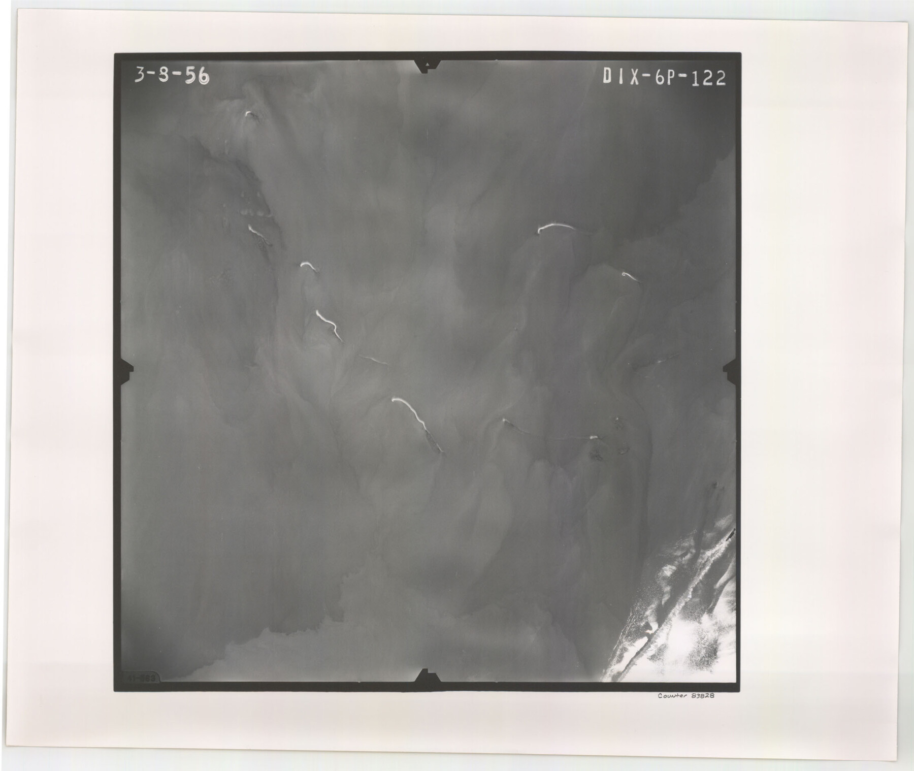
Flight Mission No. DIX-6P, Frame 122, Aransas County
DIX-6P-122
-
Map/Doc
83828
-
Collection
General Map Collection
-
Object Dates
1956/3/8 (Creation Date)
-
People and Organizations
U. S. Department of Agriculture (Publisher)
-
Counties
Aransas
-
Subjects
Aerial Photograph
-
Height x Width
19.1 x 22.4 inches
48.5 x 56.9 cm
-
Comments
Flown by V. L. Beavers and Associates of San Antonio, Texas.
Part of: General Map Collection
Flight Mission No. CLL-3N, Frame 10, Willacy County

Print $20.00
- Digital $50.00
Flight Mission No. CLL-3N, Frame 10, Willacy County
1954
Size 18.5 x 22.2 inches
Map/Doc 87076
Marion County Working Sketch 24

Print $20.00
- Digital $50.00
Marion County Working Sketch 24
1960
Size 21.4 x 26.4 inches
Map/Doc 70800
Flight Mission No. DAG-24K, Frame 48, Matagorda County

Print $20.00
- Digital $50.00
Flight Mission No. DAG-24K, Frame 48, Matagorda County
1953
Size 18.5 x 22.1 inches
Map/Doc 86535
Harris County Working Sketch 43

Print $20.00
- Digital $50.00
Harris County Working Sketch 43
1940
Size 26.8 x 22.1 inches
Map/Doc 65935
Map of Dallas & Wichita Railroad Survey

Print $40.00
- Digital $50.00
Map of Dallas & Wichita Railroad Survey
1874
Size 37.3 x 82.7 inches
Map/Doc 64417
Montague County Working Sketch 41

Print $40.00
- Digital $50.00
Montague County Working Sketch 41
1923
Size 43.0 x 66.1 inches
Map/Doc 65349
Nueces County Sketch File 12c

Print $11.00
- Digital $50.00
Nueces County Sketch File 12c
1889
Size 12.6 x 8.2 inches
Map/Doc 32534
Marion County Rolled Sketch JB

Print $40.00
- Digital $50.00
Marion County Rolled Sketch JB
Size 51.9 x 23.1 inches
Map/Doc 9488
Crockett County Sketch File 77

Print $8.00
- Digital $50.00
Crockett County Sketch File 77
1932
Size 11.2 x 8.7 inches
Map/Doc 19877
Bosque County Sketch File 32

Print $42.00
- Digital $50.00
Bosque County Sketch File 32
1944
Size 19.6 x 18.6 inches
Map/Doc 10938
Galveston County Rolled Sketch 27A

Print $20.00
- Digital $50.00
Galveston County Rolled Sketch 27A
1978
Size 32.2 x 35.5 inches
Map/Doc 5962

You may also like
"Pancho Villa Meets Genl. John J. Pershing"

Print $20.00
"Pancho Villa Meets Genl. John J. Pershing"
Size 16.0 x 20.0 inches
Map/Doc 94146
Sutton County Working Sketch 56

Print $20.00
- Digital $50.00
Sutton County Working Sketch 56
1958
Size 27.6 x 28.8 inches
Map/Doc 62399
Nueces County NRC Article 33.136 Location Key Sheet

Print $20.00
- Digital $50.00
Nueces County NRC Article 33.136 Location Key Sheet
1975
Size 27.0 x 23.0 inches
Map/Doc 77031
Hemphill County Rolled Sketch 6

Print $20.00
- Digital $50.00
Hemphill County Rolled Sketch 6
Size 22.2 x 24.7 inches
Map/Doc 6188
Dimmit County Working Sketch 21

Print $20.00
- Digital $50.00
Dimmit County Working Sketch 21
1950
Size 35.1 x 18.8 inches
Map/Doc 68682

Wichita County Rolled Sketch 17

Print $117.00
- Digital $50.00
Wichita County Rolled Sketch 17
Size 10.4 x 15.4 inches
Map/Doc 49488
Edwards County Working Sketch 59

Print $20.00
- Digital $50.00
Edwards County Working Sketch 59
1954
Size 22.7 x 22.4 inches
Map/Doc 68935
Map of Encinal County

Print $20.00
- Digital $50.00
Map of Encinal County
1872
Size 30.5 x 20.3 inches
Map/Doc 3513
City of Austin, Texas - Use District Map

Print $20.00
- Digital $50.00
City of Austin, Texas - Use District Map
1943
Size 38.9 x 25.7 inches
Map/Doc 95705
North Sulphur River, Mt. Joy Sheet

Print $20.00
- Digital $50.00
North Sulphur River, Mt. Joy Sheet
1926
Size 33.7 x 40.9 inches
Map/Doc 65166
Shackelford County Working Sketch 8

Print $20.00
- Digital $50.00
Shackelford County Working Sketch 8
1973
Size 31.9 x 28.7 inches
Map/Doc 63848