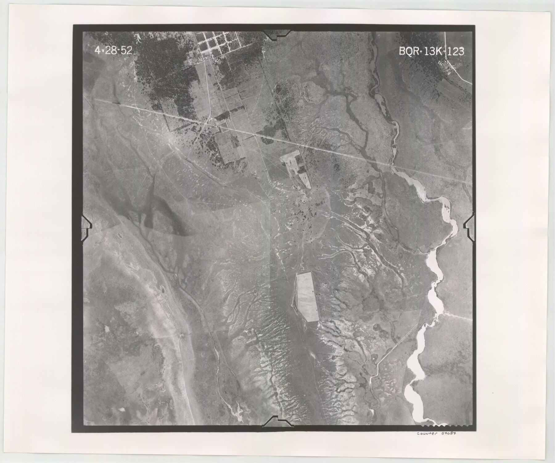
Flight Mission No. BQR-13K, Frame 123, Brazoria County
BQR-13K-123
-
Map/Doc
84084
-
Collection
General Map Collection
-
Object Dates
1952/4/28 (Creation Date)
-
People and Organizations
U. S. Department of Agriculture (Publisher)
-
Counties
Brazoria
-
Subjects
Aerial Photograph
-
Height x Width
18.7 x 22.4 inches
47.5 x 56.9 cm
-
Comments
Flown by Aero Exploration Company of Tulsa, Oklahoma.
Part of: General Map Collection
Flight Mission No. DAG-21K, Frame 131, Matagorda County

Print $20.00
- Digital $50.00
Flight Mission No. DAG-21K, Frame 131, Matagorda County
1952
Size 18.6 x 22.4 inches
Map/Doc 86457
Bell County Working Sketch 4

Print $20.00
- Digital $50.00
Bell County Working Sketch 4
1942
Size 26.9 x 21.0 inches
Map/Doc 67344
Hutchinson County Sketch File 38

Print $40.00
- Digital $50.00
Hutchinson County Sketch File 38
1935
Size 17.6 x 14.2 inches
Map/Doc 27280
Orange County Sketch File 41

Print $40.00
- Digital $50.00
Orange County Sketch File 41
1918
Size 13.2 x 13.3 inches
Map/Doc 33381
Travis County Sketch File 52

Print $8.00
- Digital $50.00
Travis County Sketch File 52
1942
Size 14.4 x 8.9 inches
Map/Doc 38391
Hamilton County Working Sketch 11

Print $20.00
- Digital $50.00
Hamilton County Working Sketch 11
1949
Size 45.1 x 43.7 inches
Map/Doc 63349
Hartley County Working Sketch 8

Print $20.00
- Digital $50.00
Hartley County Working Sketch 8
1982
Size 34.0 x 32.6 inches
Map/Doc 66058
Reeves County Working Sketch 31

Print $20.00
- Digital $50.00
Reeves County Working Sketch 31
1969
Size 27.6 x 36.5 inches
Map/Doc 63474
Supreme Court of the United States, October Term, 1923, No. 15, Original - The State of Oklahoma, Complainant vs. The State of Texas, Defendant, The United States, Intervener; Report of Medial Line Survey

Print $28.00
- Digital $50.00
Supreme Court of the United States, October Term, 1923, No. 15, Original - The State of Oklahoma, Complainant vs. The State of Texas, Defendant, The United States, Intervener; Report of Medial Line Survey
1924
Size 5.9 x 9.1 inches
Map/Doc 3055
Wichita County Working Sketch 6

Print $20.00
- Digital $50.00
Wichita County Working Sketch 6
1919
Size 24.6 x 21.4 inches
Map/Doc 72515
Presidio County Working Sketch 141

Print $20.00
- Digital $50.00
Presidio County Working Sketch 141
1990
Size 27.3 x 19.2 inches
Map/Doc 71819

You may also like
[Texas and Pacific Blocks 56-62, Townships 1-3]
![90501, [Texas and Pacific Blocks 56-62, Townships 1-3], Twichell Survey Records](https://historictexasmaps.com/wmedia_w700/maps/90501-1.tif.jpg)
Print $20.00
- Digital $50.00
[Texas and Pacific Blocks 56-62, Townships 1-3]
1885
Size 28.4 x 15.9 inches
Map/Doc 90501
Travis County Boundary File 20

Print $6.00
- Digital $50.00
Travis County Boundary File 20
Size 14.4 x 9.2 inches
Map/Doc 59454
Kendall County Working Sketch 28a

Print $20.00
- Digital $50.00
Kendall County Working Sketch 28a
2006
Size 29.8 x 45.0 inches
Map/Doc 83097
Hemphill County Sketch File 3

Print $8.00
- Digital $50.00
Hemphill County Sketch File 3
Size 11.4 x 6.5 inches
Map/Doc 26285
[Sketch showing Miguel Perez, Juan Jose Solis and Francisco Antonio Villareal surveys in Starr County]
![75549, [Sketch showing Miguel Perez, Juan Jose Solis and Francisco Antonio Villareal surveys in Starr County], Maddox Collection](https://historictexasmaps.com/wmedia_w700/maps/75549.tif.jpg)
Print $20.00
- Digital $50.00
[Sketch showing Miguel Perez, Juan Jose Solis and Francisco Antonio Villareal surveys in Starr County]
1914
Size 20.9 x 13.6 inches
Map/Doc 75549
Chambers County Working Sketch 9

Print $20.00
- Digital $50.00
Chambers County Working Sketch 9
1946
Size 43.9 x 29.8 inches
Map/Doc 67992
Uvalde County Rolled Sketch 13

Print $20.00
- Digital $50.00
Uvalde County Rolled Sketch 13
Size 38.3 x 32.4 inches
Map/Doc 10065
Terrell County Rolled Sketch 40

Print $20.00
- Digital $50.00
Terrell County Rolled Sketch 40
1943
Size 16.7 x 18.1 inches
Map/Doc 7944
Castro County Sketch File 4k

Print $4.00
- Digital $50.00
Castro County Sketch File 4k
Size 13.6 x 8.6 inches
Map/Doc 17485
Edwards County Rolled Sketch 9

Print $20.00
- Digital $50.00
Edwards County Rolled Sketch 9
1885
Size 29.3 x 42.8 inches
Map/Doc 5802
La Salle County Rolled Sketch 26

Print $20.00
- Digital $50.00
La Salle County Rolled Sketch 26
1969
Size 23.6 x 24.7 inches
Map/Doc 6587
[Blocks 178, 194, Z]
![91579, [Blocks 178, 194, Z], Twichell Survey Records](https://historictexasmaps.com/wmedia_w700/maps/91579-1.tif.jpg)
Print $3.00
- Digital $50.00
[Blocks 178, 194, Z]
Size 12.8 x 10.5 inches
Map/Doc 91579