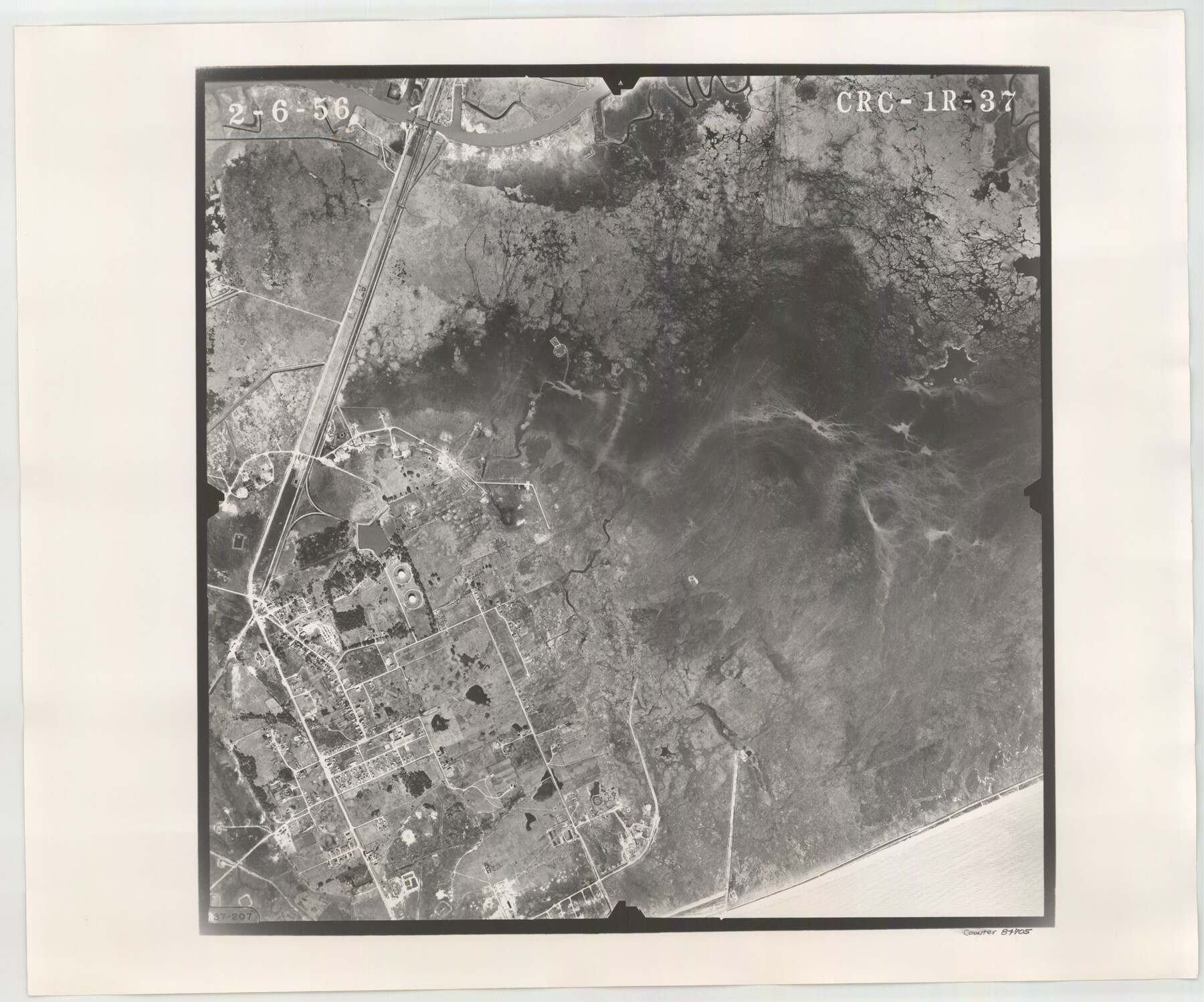
Flight Mission No. CRC-1R, Frame 37, Chambers County
CRC-1R-37
-
Map/Doc
84705
-
Collection
General Map Collection
-
Object Dates
1956/2/6 (Creation Date)
-
People and Organizations
U. S. Department of Agriculture (Publisher)
-
Counties
Chambers
-
Subjects
Aerial Photograph
-
Height x Width
18.7 x 22.5 inches
47.5 x 57.2 cm
-
Comments
Flown by Jack Ammann Photogrammetric Engineers, Inc. of San Antonio, Texas.
Part of: General Map Collection
Exploration of the Red River of Louisiana in the the year 1852 by Randolph B. Marcy, Captain Fifth Infantry U.S. Army; assisted by George B. McClellan, Brevet Captain U.S. Engineers

Exploration of the Red River of Louisiana in the the year 1852 by Randolph B. Marcy, Captain Fifth Infantry U.S. Army; assisted by George B. McClellan, Brevet Captain U.S. Engineers
Size 9.5 x 11.7 inches
Map/Doc 95321
Map of Hill County

Print $40.00
- Digital $50.00
Map of Hill County
1884
Size 80.0 x 36.8 inches
Map/Doc 93378

Reeves County Sketch File 23a and 23b

Print $4.00
- Digital $50.00
Reeves County Sketch File 23a and 23b
1985
Size 14.9 x 8.7 inches
Map/Doc 35222
Floyd County Sketch File 15

Print $12.00
- Digital $50.00
Floyd County Sketch File 15
1913
Size 10.9 x 7.3 inches
Map/Doc 22736
Controlled Mosaic by Jack Amman Photogrammetric Engineers, Inc - Sheet 18

Print $20.00
- Digital $50.00
Controlled Mosaic by Jack Amman Photogrammetric Engineers, Inc - Sheet 18
1954
Size 19.4 x 24.0 inches
Map/Doc 83463
Karnes County Boundary File 6

Print $16.00
- Digital $50.00
Karnes County Boundary File 6
Size 9.3 x 4.0 inches
Map/Doc 55735
Nueces County Rolled Sketch 60

Print $40.00
- Digital $50.00
Nueces County Rolled Sketch 60
Size 95.5 x 32.3 inches
Map/Doc 9607
Map of Kerr County

Print $20.00
- Digital $50.00
Map of Kerr County
1864
Size 14.8 x 17.9 inches
Map/Doc 3760
Gray County Boundary File 10

Print $15.00
- Digital $50.00
Gray County Boundary File 10
Size 14.5 x 9.0 inches
Map/Doc 53905
Refugio County Boundary File 3a

Print $28.00
- Digital $50.00
Refugio County Boundary File 3a
Size 14.1 x 8.8 inches
Map/Doc 58246
Gonzales County

Print $40.00
- Digital $50.00
Gonzales County
1920
Size 48.4 x 44.2 inches
Map/Doc 4706
You may also like
Pecos County Rolled Sketch 146C

Print $20.00
- Digital $50.00
Pecos County Rolled Sketch 146C
Size 43.1 x 39.5 inches
Map/Doc 9743
Houston County Working Sketch 2

Print $20.00
- Digital $50.00
Houston County Working Sketch 2
Size 16.1 x 18.6 inches
Map/Doc 66232
Nueces County Sketch File 40

Print $6.00
- Digital $50.00
Nueces County Sketch File 40
1908
Size 13.9 x 8.7 inches
Map/Doc 32627
Chambers County Sketch File 13

Print $6.00
- Digital $50.00
Chambers County Sketch File 13
1873
Size 9.8 x 12.4 inches
Map/Doc 17558
Roberts County Working Sketch 45

Print $20.00
- Digital $50.00
Roberts County Working Sketch 45
1979
Size 23.7 x 20.0 inches
Map/Doc 63571
Map of Brown County

Print $20.00
- Digital $50.00
Map of Brown County
Size 25.4 x 23.5 inches
Map/Doc 3340
Harris County Sketch File 97

Print $28.00
- Digital $50.00
Harris County Sketch File 97
1917
Size 14.3 x 8.9 inches
Map/Doc 25641
Drum, Oyster and Bastrop Bays and Vicinity; Brazoria County, showing Subdivision for Mineral Development

Print $20.00
- Digital $50.00
Drum, Oyster and Bastrop Bays and Vicinity; Brazoria County, showing Subdivision for Mineral Development
1949
Size 35.4 x 45.4 inches
Map/Doc 1908
Galveston County NRC Article 33.136 Location Key Sheet

Print $20.00
- Digital $50.00
Galveston County NRC Article 33.136 Location Key Sheet
1995
Size 27.0 x 22.0 inches
Map/Doc 83001
Jack County Working Sketch 17

Print $20.00
- Digital $50.00
Jack County Working Sketch 17
1982
Size 25.9 x 27.4 inches
Map/Doc 66443
Reagan County Working Sketch 39

Print $20.00
- Digital $50.00
Reagan County Working Sketch 39
1971
Size 22.5 x 36.1 inches
Map/Doc 71881
[Pacific & Santa Fe Railroad through Fort Stockton]
![64770, [Pacific & Santa Fe Railroad through Fort Stockton], General Map Collection](https://historictexasmaps.com/wmedia_w700/maps/64770.tif.jpg)
Print $20.00
- Digital $50.00
[Pacific & Santa Fe Railroad through Fort Stockton]
Size 18.4 x 20.5 inches
Map/Doc 64770