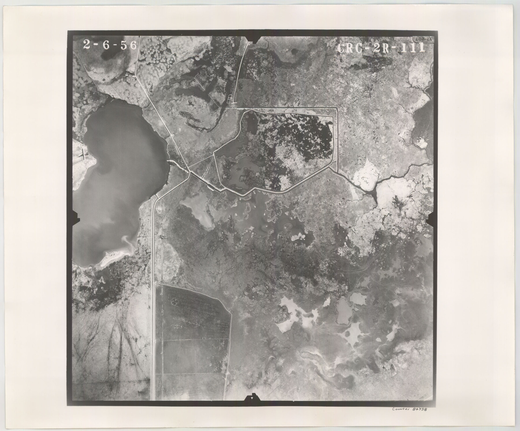
Flight Mission No. CRC-2R, Frame 111, Chambers County
CRC-2R-111
-
Map/Doc
84738
-
Collection
General Map Collection
-
Object Dates
1956/2/6 (Creation Date)
-
People and Organizations
U. S. Department of Agriculture (Publisher)
-
Counties
Chambers
-
Subjects
Aerial Photograph
-
Height x Width
18.4 x 22.3 inches
46.7 x 56.6 cm
-
Comments
Flown by Jack Ammann Photogrammetric Engineers, Inc. of San Antonio, Texas.
Part of: General Map Collection
Concho County Sketch File 49

Print $20.00
- Digital $50.00
Concho County Sketch File 49
1889
Size 30.7 x 19.3 inches
Map/Doc 11166
Franklin County Sketch File 2a

Print $6.00
- Digital $50.00
Franklin County Sketch File 2a
1857
Size 8.6 x 10.5 inches
Map/Doc 23012
[Sketch of Col. Cooke's Military Road expedition from Red River to Austin]
![82272, [Sketch of Col. Cooke's Military Road expedition from Red River to Austin], General Map Collection](https://historictexasmaps.com/wmedia_w700/maps/82272-1.tif.jpg)
Print $40.00
- Digital $50.00
[Sketch of Col. Cooke's Military Road expedition from Red River to Austin]
Size 61.0 x 24.1 inches
Map/Doc 82272
Brazoria County Boundary File 1

Print $10.00
- Digital $50.00
Brazoria County Boundary File 1
Size 14.4 x 8.7 inches
Map/Doc 50699
Jones County Sketch File 2

Print $20.00
- Digital $50.00
Jones County Sketch File 2
1857
Size 16.8 x 21.1 inches
Map/Doc 11895
Hopkins County Sketch File 7

Print $6.00
- Digital $50.00
Hopkins County Sketch File 7
Size 10.4 x 6.1 inches
Map/Doc 26692
Hale County Sketch File 26

Print $40.00
- Digital $50.00
Hale County Sketch File 26
1911
Size 20.7 x 54.4 inches
Map/Doc 10471
Jeff Davis County Sketch File 2a

Print $4.00
- Digital $50.00
Jeff Davis County Sketch File 2a
Size 8.3 x 3.3 inches
Map/Doc 27890
Scurry County Sketch File 6

Print $14.00
- Digital $50.00
Scurry County Sketch File 6
2002
Size 11.2 x 8.7 inches
Map/Doc 76370
Hispania Nova

Print $20.00
- Digital $50.00
Hispania Nova
1597
Size 12.0 x 14.9 inches
Map/Doc 94120
Llano County Working Sketch 6

Print $20.00
- Digital $50.00
Llano County Working Sketch 6
1961
Size 15.8 x 20.8 inches
Map/Doc 70624
Pecos County Rolled Sketch P

Print $20.00
- Digital $50.00
Pecos County Rolled Sketch P
1885
Size 39.0 x 46.1 inches
Map/Doc 9686
You may also like
Hutchinson County Rolled Sketch 44-10

Print $20.00
- Digital $50.00
Hutchinson County Rolled Sketch 44-10
2002
Size 24.0 x 36.0 inches
Map/Doc 77546
Chambers County Rolled Sketch 23A

Print $40.00
- Digital $50.00
Chambers County Rolled Sketch 23A
1940
Size 77.1 x 36.0 inches
Map/Doc 8592
Flight Mission No. BRA-7M, Frame 33, Jefferson County

Print $20.00
- Digital $50.00
Flight Mission No. BRA-7M, Frame 33, Jefferson County
1953
Size 18.6 x 22.4 inches
Map/Doc 85484
Flight Mission No. BRE-2P, Frame 103, Nueces County

Print $20.00
- Digital $50.00
Flight Mission No. BRE-2P, Frame 103, Nueces County
1956
Size 18.5 x 22.2 inches
Map/Doc 86788
Deaf Smith County Working Sketch 4

Print $40.00
- Digital $50.00
Deaf Smith County Working Sketch 4
1983
Size 37.0 x 52.4 inches
Map/Doc 68644
General Highway Map, McCulloch County, Texas

Print $20.00
General Highway Map, McCulloch County, Texas
1940
Size 24.6 x 18.2 inches
Map/Doc 79190
[West half of county, south of John H. Stephens Block S2]
![90976, [West half of county, south of John H. Stephens Block S2], Twichell Survey Records](https://historictexasmaps.com/wmedia_w700/maps/90976-1.tif.jpg)
Print $2.00
- Digital $50.00
[West half of county, south of John H. Stephens Block S2]
Size 11.8 x 8.7 inches
Map/Doc 90976
Briscoe County Rolled Sketch 11A

Print $20.00
- Digital $50.00
Briscoe County Rolled Sketch 11A
1913
Size 11.7 x 12.3 inches
Map/Doc 5329
Andrews County Working Sketch 32

Print $20.00
- Digital $50.00
Andrews County Working Sketch 32
1990
Size 29.6 x 31.5 inches
Map/Doc 67078
Flight Mission No. BRA-7M, Frame 120, Jefferson County

Print $20.00
- Digital $50.00
Flight Mission No. BRA-7M, Frame 120, Jefferson County
1953
Size 18.7 x 22.4 inches
Map/Doc 85514
Flight Mission No. CGI-3N, Frame 102, Cameron County

Print $20.00
- Digital $50.00
Flight Mission No. CGI-3N, Frame 102, Cameron County
1954
Size 18.6 x 22.2 inches
Map/Doc 84582
Moore County Sketch File 9

Print $4.00
- Digital $50.00
Moore County Sketch File 9
1910
Size 9.0 x 6.9 inches
Map/Doc 31947