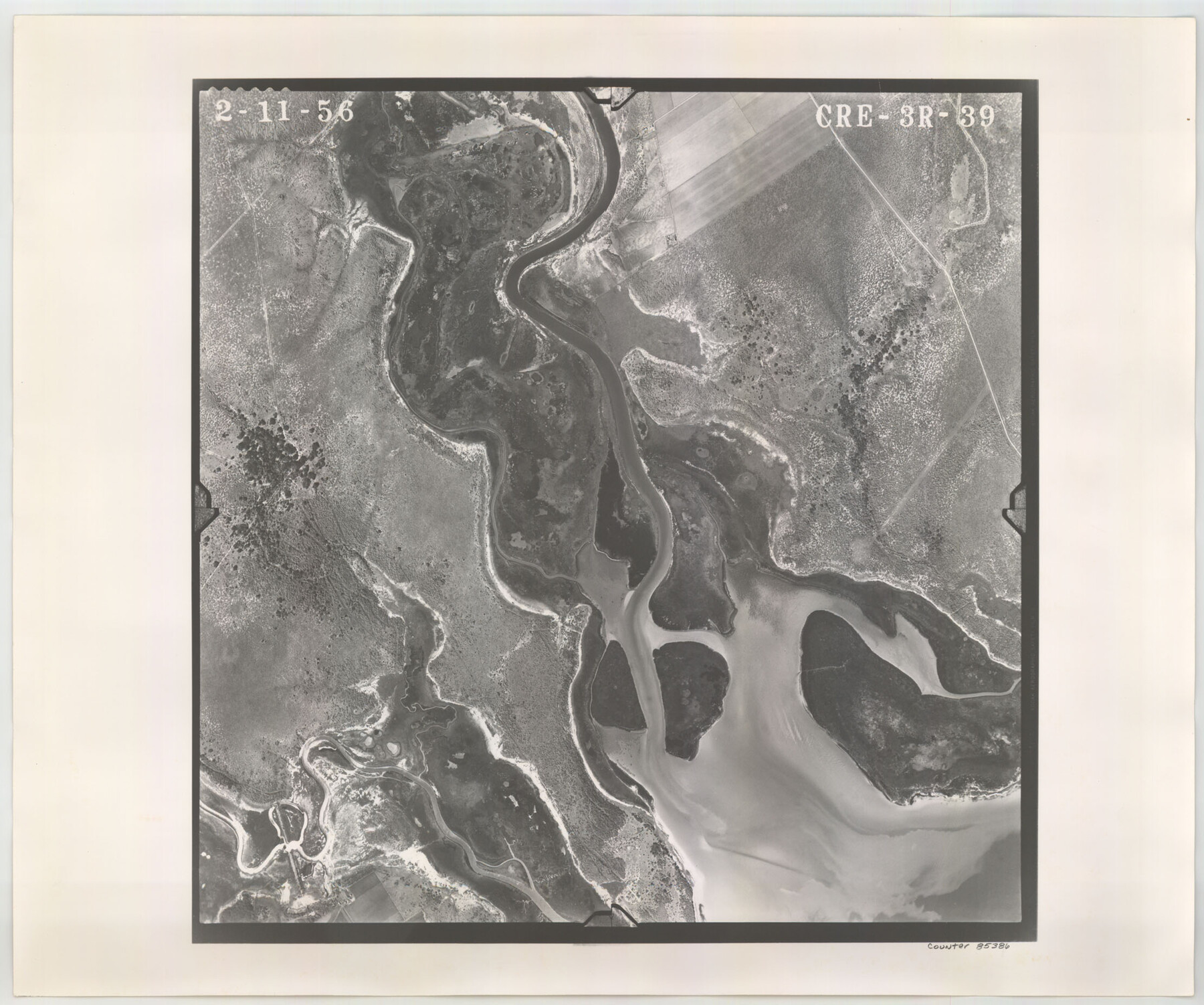
Flight Mission No. CRE-3R, Frame 39, Jackson County
CRE-3R-39
-
Map/Doc
85386
-
Collection
General Map Collection
-
Object Dates
1956/2/11 (Creation Date)
-
People and Organizations
U. S. Department of Agriculture (Publisher)
-
Counties
Jackson
-
Subjects
Aerial Photograph
-
Height x Width
18.6 x 22.2 inches
47.2 x 56.4 cm
-
Comments
Flown by Jack Ammann Photogrammetric Engineers of San Antonio, Texas.
Part of: General Map Collection
Kimble County Working Sketch 36

Print $40.00
- Digital $50.00
Kimble County Working Sketch 36
1946
Size 53.6 x 43.1 inches
Map/Doc 70104
Shackelford County Rolled Sketch 2

Print $40.00
- Digital $50.00
Shackelford County Rolled Sketch 2
Size 18.9 x 51.9 inches
Map/Doc 75935
Val Verde County Boundary File 1

Print $6.00
- Digital $50.00
Val Verde County Boundary File 1
Size 14.3 x 8.7 inches
Map/Doc 59572
Flight Mission No. BRA-16M, Frame 105, Jefferson County

Print $20.00
- Digital $50.00
Flight Mission No. BRA-16M, Frame 105, Jefferson County
1953
Size 18.5 x 22.1 inches
Map/Doc 85717
[Right of Way & Track Map, The Texas & Pacific Ry. Co. Main Line]
![64665, [Right of Way & Track Map, The Texas & Pacific Ry. Co. Main Line], General Map Collection](https://historictexasmaps.com/wmedia_w700/maps/64665.tif.jpg)
Print $20.00
- Digital $50.00
[Right of Way & Track Map, The Texas & Pacific Ry. Co. Main Line]
Size 11.0 x 18.4 inches
Map/Doc 64665
Jefferson Co.

Print $40.00
- Digital $50.00
Jefferson Co.
1978
Size 48.2 x 42.7 inches
Map/Doc 73196
Kaufman County

Print $20.00
- Digital $50.00
Kaufman County
1942
Size 44.5 x 36.7 inches
Map/Doc 77335
Galveston County Sketch File 2

Print $2.00
- Digital $50.00
Galveston County Sketch File 2
1845
Size 8.3 x 11.1 inches
Map/Doc 23349
Cooke County Sketch File 47

Print $24.00
- Digital $50.00
Cooke County Sketch File 47
2003
Size 26.6 x 18.4 inches
Map/Doc 78650
Map of Menard County Texas

Print $20.00
- Digital $50.00
Map of Menard County Texas
1894
Size 33.0 x 42.5 inches
Map/Doc 66927
Goliad County Sketch File 16

Print $40.00
- Digital $50.00
Goliad County Sketch File 16
Size 13.4 x 15.8 inches
Map/Doc 24247
Somervell County Working Sketch Graphic Index

Print $20.00
- Digital $50.00
Somervell County Working Sketch Graphic Index
1941
Size 27.0 x 25.7 inches
Map/Doc 76700
You may also like
Randall County

Print $20.00
- Digital $50.00
Randall County
1958
Size 41.0 x 33.0 inches
Map/Doc 77402
Potter County Working Sketch 5

Print $20.00
- Digital $50.00
Potter County Working Sketch 5
1920
Size 41.3 x 37.1 inches
Map/Doc 71665
Lavaca County Working Sketch 11

Print $20.00
- Digital $50.00
Lavaca County Working Sketch 11
1954
Size 34.0 x 28.3 inches
Map/Doc 70364
The Kennedy and Pringle Colony. June 3, 1842

Print $20.00
The Kennedy and Pringle Colony. June 3, 1842
2020
Size 23.0 x 17.7 inches
Map/Doc 96368
Van Zandt County Rolled Sketch 5

Print $20.00
- Digital $50.00
Van Zandt County Rolled Sketch 5
1946
Size 27.1 x 28.1 inches
Map/Doc 8146
El Paso County Sketch File 35 (3)

Print $40.00
- Digital $50.00
El Paso County Sketch File 35 (3)
1886
Size 12.8 x 8.3 inches
Map/Doc 22179
Deaf Smith County Sketch File 7

Print $4.00
- Digital $50.00
Deaf Smith County Sketch File 7
1917
Size 11.3 x 9.0 inches
Map/Doc 20664
Yoakum County Boundary File 1b

Print $2.00
- Digital $50.00
Yoakum County Boundary File 1b
Size 14.4 x 9.0 inches
Map/Doc 60197
Ward County Rolled Sketch 1

Print $40.00
- Digital $50.00
Ward County Rolled Sketch 1
1888
Size 42.6 x 120.4 inches
Map/Doc 76165
Bailey County Sketch File 9

Print $40.00
- Digital $50.00
Bailey County Sketch File 9
Size 22.4 x 18.1 inches
Map/Doc 10885
Outer Continental Shelf Leasing Maps (Texas Offshore Operations)

Print $20.00
- Digital $50.00
Outer Continental Shelf Leasing Maps (Texas Offshore Operations)
Size 21.0 x 15.2 inches
Map/Doc 75840
Tracing "A" [showing Rio Grande and settlements along river]
![72888, Tracing "A" [showing Rio Grande and settlements along river], General Map Collection](https://historictexasmaps.com/wmedia_w700/maps/72888.tif.jpg)
Print $20.00
- Digital $50.00
Tracing "A" [showing Rio Grande and settlements along river]
1881
Size 18.2 x 25.9 inches
Map/Doc 72888