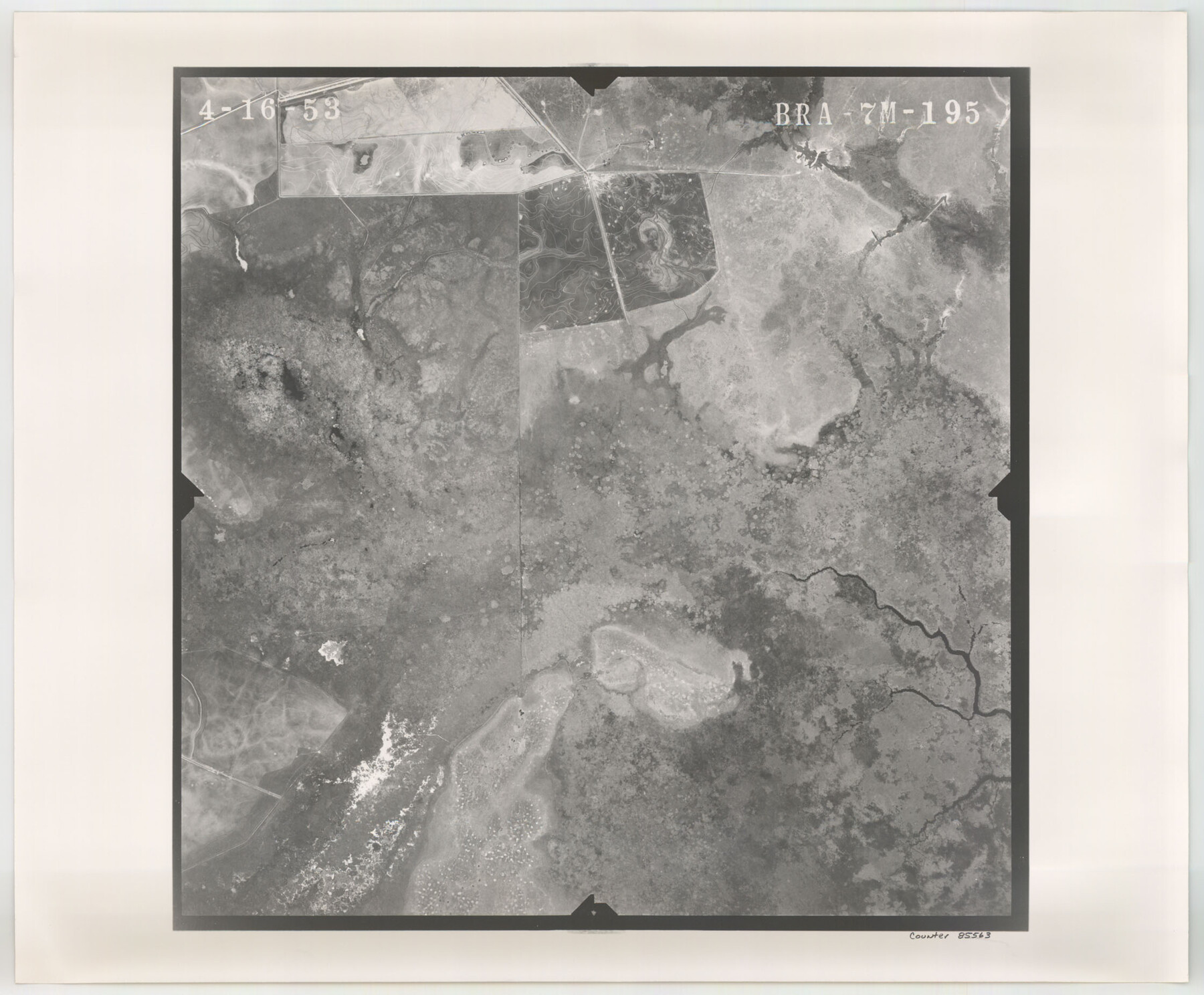
Flight Mission No. BRA-7M, Frame 195, Jefferson County
BRA-7M-195
-
Map/Doc
85563
-
Collection
General Map Collection
-
Object Dates
1953/4/16 (Creation Date)
-
People and Organizations
U. S. Department of Agriculture (Publisher)
-
Counties
Jefferson
-
Subjects
Aerial Photograph
-
Height x Width
18.5 x 22.4 inches
47.0 x 56.9 cm
-
Comments
Flown by Jack Ammann Photogrammetric Engineers of San Antonio, Texas.
Part of: General Map Collection
Hudspeth County Working Sketch 39

Print $20.00
- Digital $50.00
Hudspeth County Working Sketch 39
1980
Size 37.1 x 37.0 inches
Map/Doc 66324
Matagorda County Rolled Sketch 35

Print $20.00
- Digital $50.00
Matagorda County Rolled Sketch 35
1903
Size 18.6 x 38.0 inches
Map/Doc 6696
Part of Laguna Madre in Kenedy and Willacy Counties, showing Subdivision for Mineral Development

Print $40.00
- Digital $50.00
Part of Laguna Madre in Kenedy and Willacy Counties, showing Subdivision for Mineral Development
1946
Size 49.1 x 30.0 inches
Map/Doc 1924
Starr County Sketch File 41

Print $20.00
- Digital $50.00
Starr County Sketch File 41
1941
Size 26.6 x 31.1 inches
Map/Doc 12340

Map of Runnels County

Print $20.00
- Digital $50.00
Map of Runnels County
1879
Size 25.9 x 18.5 inches
Map/Doc 4620
Flight Mission No. CUG-1P, Frame 21, Kleberg County

Print $20.00
- Digital $50.00
Flight Mission No. CUG-1P, Frame 21, Kleberg County
1956
Size 18.5 x 22.2 inches
Map/Doc 86111
Presidio County Working Sketch 43

Print $40.00
- Digital $50.00
Presidio County Working Sketch 43
1949
Size 29.0 x 54.9 inches
Map/Doc 71720
Willacy County Working Sketch Graphic Index

Print $20.00
- Digital $50.00
Willacy County Working Sketch Graphic Index
1921
Size 32.8 x 32.7 inches
Map/Doc 76741
Houston County Sketch File 2

Print $4.00
- Digital $50.00
Houston County Sketch File 2
1857
Size 12.6 x 7.9 inches
Map/Doc 26746
Flight Mission No. CRC-5R, Frame 22, Chambers County

Print $20.00
- Digital $50.00
Flight Mission No. CRC-5R, Frame 22, Chambers County
1956
Size 18.7 x 22.6 inches
Map/Doc 84944
Goliad County Sketch File 11

Print $40.00
- Digital $50.00
Goliad County Sketch File 11
Size 13.4 x 12.5 inches
Map/Doc 24228
You may also like
[Map of the Houston and G. N. R.R. and lands adjacent, from Troupe to the Texas Pacific R.R.]
![64628, [Map of the Houston and G. N. R.R. and lands adjacent, from Troupe to the Texas Pacific R.R.], General Map Collection](https://historictexasmaps.com/wmedia_w700/maps/64628.tif.jpg)
Print $40.00
- Digital $50.00
[Map of the Houston and G. N. R.R. and lands adjacent, from Troupe to the Texas Pacific R.R.]
1873
Size 20.2 x 49.3 inches
Map/Doc 64628
Bosque County Working Sketch 15

Print $20.00
- Digital $50.00
Bosque County Working Sketch 15
1963
Size 29.3 x 30.5 inches
Map/Doc 67448
McMullen County Working Sketch 32

Print $20.00
- Digital $50.00
McMullen County Working Sketch 32
1958
Size 28.2 x 32.5 inches
Map/Doc 70733
Map of Granbury

Print $20.00
- Digital $50.00
Map of Granbury
1960
Size 23.5 x 26.7 inches
Map/Doc 3041
Galveston to Rio Grande

Print $20.00
- Digital $50.00
Galveston to Rio Grande
1985
Size 45.4 x 37.5 inches
Map/Doc 69958
McCulloch County Boundary File 1

Print $40.00
- Digital $50.00
McCulloch County Boundary File 1
Size 9.2 x 33.6 inches
Map/Doc 56906
Val Verde County Sketch File 8

Print $38.00
- Digital $50.00
Val Verde County Sketch File 8
1885
Size 22.6 x 23.2 inches
Map/Doc 12564
Polk County Working Sketch 12

Print $20.00
- Digital $50.00
Polk County Working Sketch 12
1942
Size 26.6 x 17.3 inches
Map/Doc 71627
Flight Mission No. DQO-8K, Frame 112, Galveston County

Print $20.00
- Digital $50.00
Flight Mission No. DQO-8K, Frame 112, Galveston County
1952
Size 18.6 x 22.4 inches
Map/Doc 85194
[Sketch for Mineral Application 36486 and 38244 - Liberty County]
![65622, [Sketch for Mineral Application 36486 and 38244 - Liberty County], General Map Collection](https://historictexasmaps.com/wmedia_w700/maps/65622.tif.jpg)
Print $20.00
- Digital $50.00
[Sketch for Mineral Application 36486 and 38244 - Liberty County]
1976
Size 24.0 x 43.9 inches
Map/Doc 65622

Shackelford County Boundary File 5

Print $14.00
- Digital $50.00
Shackelford County Boundary File 5
Size 8.6 x 14.0 inches
Map/Doc 58661