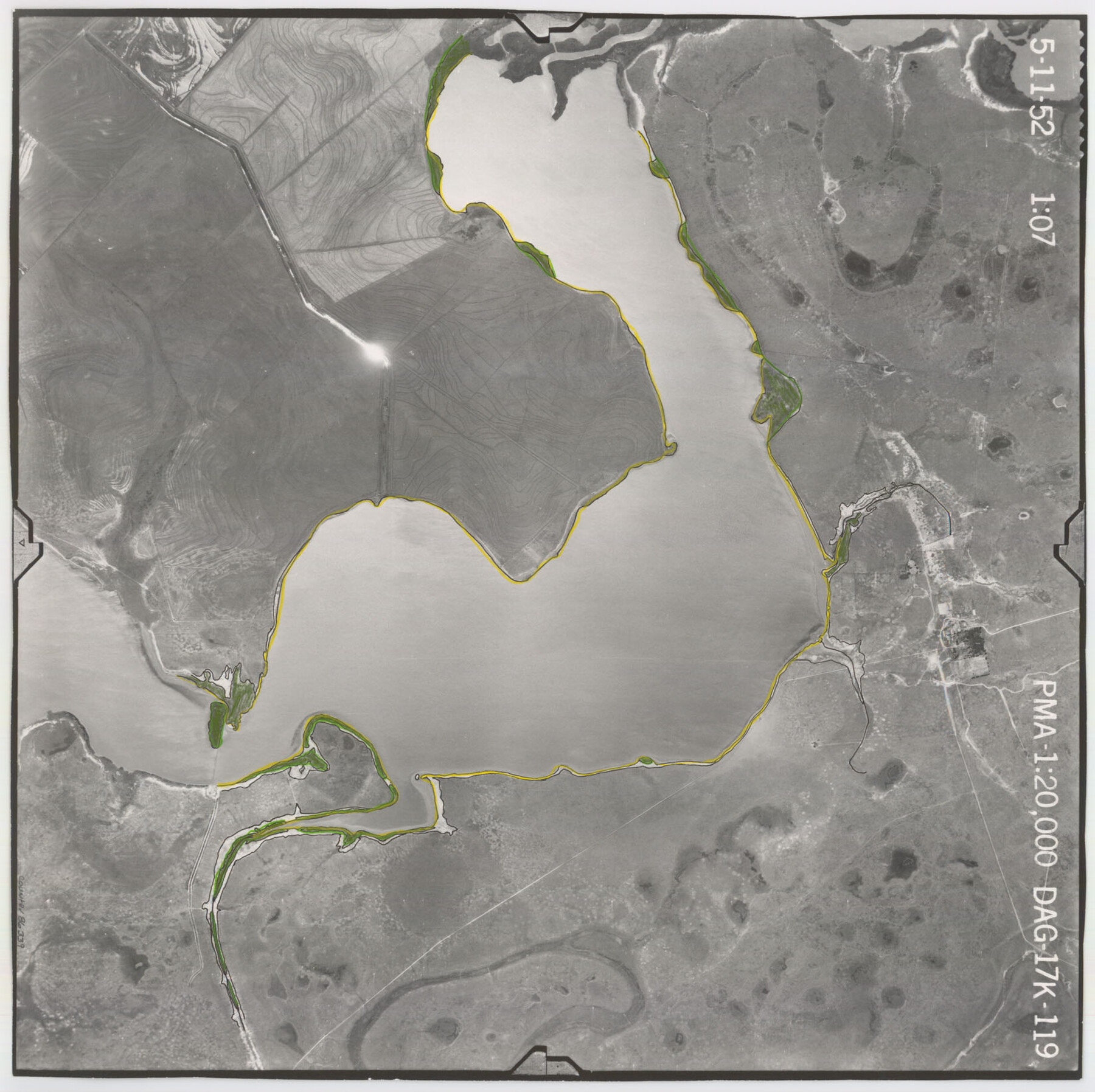
Flight Mission No. DAG-17K, Frame 119, Matagorda County
DAG-17K-119
-
Map/Doc
86339
-
Collection
General Map Collection
-
Object Dates
1952/5/11 (Creation Date)
-
People and Organizations
U. S. Department of Agriculture (Publisher)
-
Counties
Matagorda
-
Subjects
Aerial Photograph
-
Height x Width
16.4 x 16.5 inches
41.7 x 41.9 cm
-
Comments
Flown by Aero Exploration Company of Tulsa, Oklahoma.
Part of: General Map Collection
Aransas County NRC Article 33.136 Location Key Sheet

Print $20.00
- Digital $50.00
Aransas County NRC Article 33.136 Location Key Sheet
1970
Size 27.0 x 23.0 inches
Map/Doc 87904
Matagorda County NRC Article 33.136 Sketch 3

Print $20.00
- Digital $50.00
Matagorda County NRC Article 33.136 Sketch 3
2008
Size 36.0 x 24.0 inches
Map/Doc 88834
Flight Mission No. BRE-1P, Frame 151, Nueces County

Print $20.00
- Digital $50.00
Flight Mission No. BRE-1P, Frame 151, Nueces County
1956
Size 18.7 x 22.5 inches
Map/Doc 86711
Young County Working Sketch 25

Print $20.00
- Digital $50.00
Young County Working Sketch 25
1982
Size 12.6 x 14.4 inches
Map/Doc 62048
Rusk County Sketch File Z

Print $6.00
Rusk County Sketch File Z
1850
Size 15.8 x 9.0 inches
Map/Doc 35539
Panola County Working Sketch 33

Print $40.00
- Digital $50.00
Panola County Working Sketch 33
1983
Map/Doc 71442
Matagorda County Working Sketch 20

Print $20.00
- Digital $50.00
Matagorda County Working Sketch 20
1961
Size 26.1 x 37.7 inches
Map/Doc 70878
Hamilton County Boundary File 5

Print $35.00
- Digital $50.00
Hamilton County Boundary File 5
Size 11.1 x 8.6 inches
Map/Doc 54217

[Sketch for Mineral Application 33721 - 33725 Incl. - Padre and Mustang Island]
![2870, [Sketch for Mineral Application 33721 - 33725 Incl. - Padre and Mustang Island], General Map Collection](https://historictexasmaps.com/wmedia_w700/maps/2870.tif.jpg)
Print $20.00
- Digital $50.00
[Sketch for Mineral Application 33721 - 33725 Incl. - Padre and Mustang Island]
1942
Size 22.1 x 22.4 inches
Map/Doc 2870
Nacogdoches County Working Sketch 1

Print $20.00
- Digital $50.00
Nacogdoches County Working Sketch 1
Size 27.8 x 35.8 inches
Map/Doc 71217
Houston County Sketch File 28

Print $20.00
- Digital $50.00
Houston County Sketch File 28
1877
Size 21.8 x 21.3 inches
Map/Doc 11789
You may also like
Flight Mission No. CRE-2R, Frame 156, Jackson County

Print $20.00
- Digital $50.00
Flight Mission No. CRE-2R, Frame 156, Jackson County
1956
Size 16.2 x 16.1 inches
Map/Doc 85367
Titus County Sketch File 9

Print $4.00
- Digital $50.00
Titus County Sketch File 9
1855
Size 13.0 x 8.0 inches
Map/Doc 38146
Flight Mission No. DQN-2K, Frame 96, Calhoun County

Print $20.00
- Digital $50.00
Flight Mission No. DQN-2K, Frame 96, Calhoun County
1953
Size 18.8 x 22.4 inches
Map/Doc 84286
Map of Kerr County

Print $20.00
- Digital $50.00
Map of Kerr County
1878
Size 20.5 x 25.7 inches
Map/Doc 3762
Moore County Working Sketch Graphic Index

Print $20.00
- Digital $50.00
Moore County Working Sketch Graphic Index
1932
Size 41.3 x 39.0 inches
Map/Doc 76648
Coryell County Sketch File 2

Print $4.00
- Digital $50.00
Coryell County Sketch File 2
Size 13.0 x 8.0 inches
Map/Doc 19338
[Sketch showing positions of surveys bordering on South boundary line of Archer County and North boundary line of Young County

Print $20.00
- Digital $50.00
[Sketch showing positions of surveys bordering on South boundary line of Archer County and North boundary line of Young County
1894
Size 14.0 x 36.8 inches
Map/Doc 90174
Freestone County Working Sketch 22

Print $20.00
- Digital $50.00
Freestone County Working Sketch 22
1981
Size 35.5 x 32.3 inches
Map/Doc 69264
Bell County Sketch File 5

Print $4.00
- Digital $50.00
Bell County Sketch File 5
1849
Size 12.9 x 8.5 inches
Map/Doc 14371
McMullen County

Print $40.00
- Digital $50.00
McMullen County
1967
Size 49.7 x 34.8 inches
Map/Doc 73236
Runnels County Boundary File 2

Print $36.00
- Digital $50.00
Runnels County Boundary File 2
Size 14.4 x 8.8 inches
Map/Doc 58517
[Surveys along the Sabine River made under G.W. Smyth, Commissioner]
![89, [Surveys along the Sabine River made under G.W. Smyth, Commissioner], General Map Collection](https://historictexasmaps.com/wmedia_w700/maps/89.tif.jpg)
Print $20.00
- Digital $50.00
[Surveys along the Sabine River made under G.W. Smyth, Commissioner]
Size 12.6 x 17.1 inches
Map/Doc 89