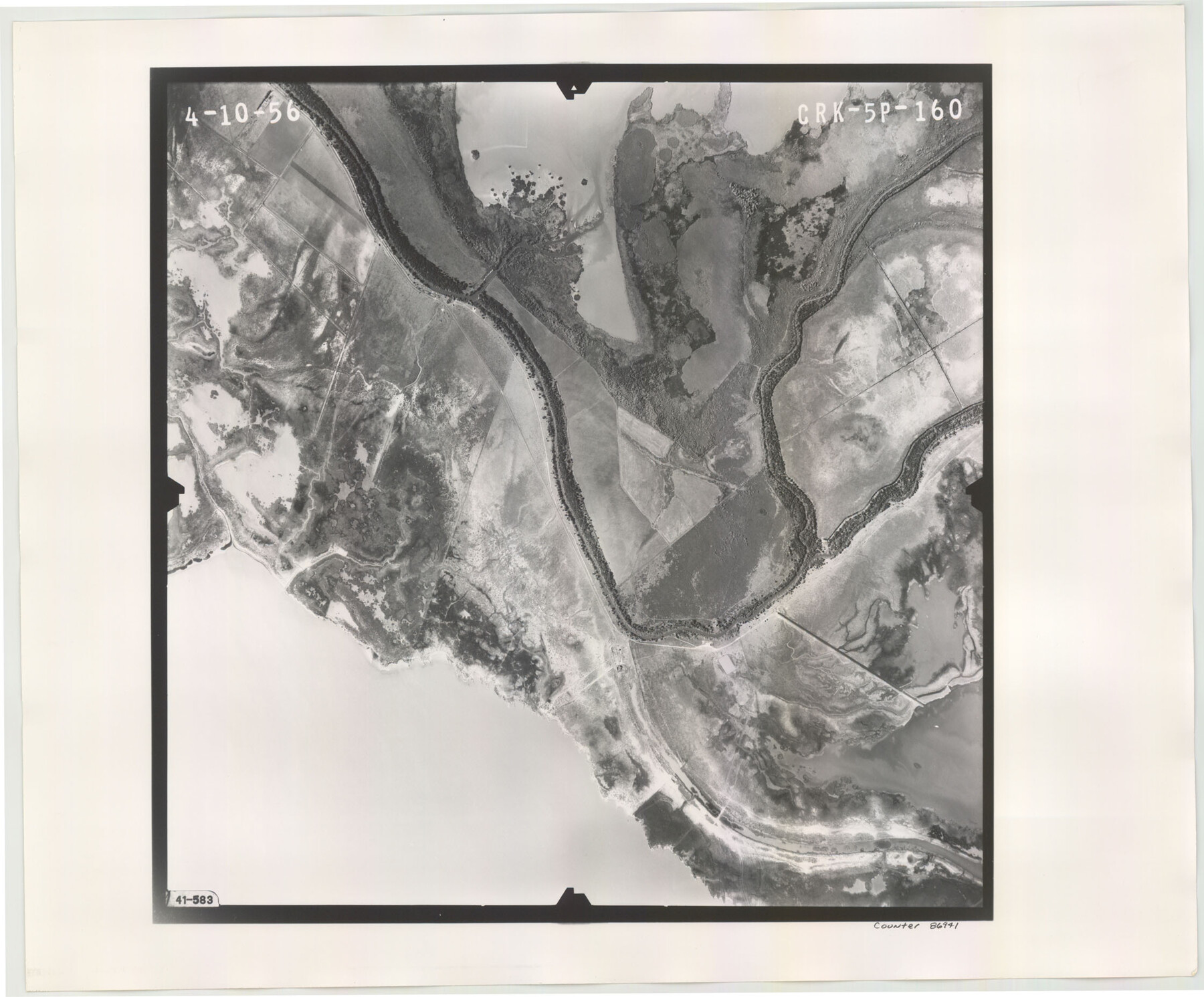
Flight Mission No. CRK-5P, Frame 160, Refugio County
CRK-5P-160
-
Map/Doc
86941
-
Collection
General Map Collection
-
Object Dates
1956/4/10 (Creation Date)
-
People and Organizations
U. S. Department of Agriculture (Publisher)
-
Counties
Refugio
-
Subjects
Aerial Photograph
-
Height x Width
18.6 x 22.4 inches
47.2 x 56.9 cm
-
Comments
Flown by V. L. Beavers and Associates of San Antonio, Texas.
Part of: General Map Collection
Brazoria County Sketch File 49

Print $20.00
- Digital $50.00
Brazoria County Sketch File 49
Size 14.2 x 8.7 inches
Map/Doc 15112
Flight Mission No. CGI-3N, Frame 98, Cameron County

Print $20.00
- Digital $50.00
Flight Mission No. CGI-3N, Frame 98, Cameron County
1954
Size 18.5 x 22.1 inches
Map/Doc 84578
Upton County Rolled Sketch 16

Print $20.00
- Digital $50.00
Upton County Rolled Sketch 16
1927
Size 18.9 x 37.7 inches
Map/Doc 8071
Laguna Madre, T-9209

Print $20.00
- Digital $50.00
Laguna Madre, T-9209
Size 34.0 x 30.8 inches
Map/Doc 73600
Young County Working Sketch 16

Print $20.00
- Digital $50.00
Young County Working Sketch 16
1955
Size 23.8 x 21.7 inches
Map/Doc 62039
Tarrant County

Print $20.00
- Digital $50.00
Tarrant County
1885
Size 36.6 x 36.4 inches
Map/Doc 63056
Jefferson County Working Sketch 29

Print $40.00
- Digital $50.00
Jefferson County Working Sketch 29
1977
Size 52.4 x 42.7 inches
Map/Doc 66572
Bastrop County

Print $20.00
- Digital $50.00
Bastrop County
1883
Size 25.9 x 25.2 inches
Map/Doc 3276
Flight Mission No. CUG-2P, Frame 11, Kleberg County

Print $20.00
- Digital $50.00
Flight Mission No. CUG-2P, Frame 11, Kleberg County
1956
Size 18.5 x 22.2 inches
Map/Doc 86183
Terrell County Sketch File 31

Print $20.00
- Digital $50.00
Terrell County Sketch File 31
1940
Size 27.0 x 25.1 inches
Map/Doc 12426
Leon County Rolled Sketch 14A

Print $200.00
- Digital $50.00
Leon County Rolled Sketch 14A
1975
Size 16.5 x 35.5 inches
Map/Doc 46535
Pecos County Working Sketch 88

Print $20.00
- Digital $50.00
Pecos County Working Sketch 88
1963
Size 34.5 x 27.5 inches
Map/Doc 71560
You may also like
Flight Mission No. CRC-2R, Frame 2, Chambers County

Print $20.00
- Digital $50.00
Flight Mission No. CRC-2R, Frame 2, Chambers County
1956
Size 18.6 x 22.4 inches
Map/Doc 84721
Bell County Sketch File 32

Print $10.00
- Digital $50.00
Bell County Sketch File 32
1905
Size 7.6 x 8.8 inches
Map/Doc 14447
Map of Refugio

Print $20.00
- Digital $50.00
Map of Refugio
1851
Size 27.2 x 25.6 inches
Map/Doc 3989
Roberts County Working Sketch 30

Print $20.00
- Digital $50.00
Roberts County Working Sketch 30
1983
Size 47.4 x 38.5 inches
Map/Doc 63556
McCulloch County Working Sketch 6

Print $20.00
- Digital $50.00
McCulloch County Working Sketch 6
1961
Size 15.2 x 23.9 inches
Map/Doc 70681
Stonewall County Sketch File 11

Print $6.00
- Digital $50.00
Stonewall County Sketch File 11
1900
Size 9.7 x 8.5 inches
Map/Doc 37237
Hansford County Working Sketch 3

Print $20.00
- Digital $50.00
Hansford County Working Sketch 3
1940
Size 20.5 x 16.5 inches
Map/Doc 63375
Ward County Sketch File 7

Print $4.00
- Digital $50.00
Ward County Sketch File 7
1927
Size 9.8 x 8.6 inches
Map/Doc 39621
Map No. 1 - Rio Bravo del Norte section of boundary between the United States & Mexico agreed upon by the Joint Commission under the Treaty of Guadalupe Hidalgo

Print $20.00
- Digital $50.00
Map No. 1 - Rio Bravo del Norte section of boundary between the United States & Mexico agreed upon by the Joint Commission under the Treaty of Guadalupe Hidalgo
1852
Size 18.4 x 27.0 inches
Map/Doc 72864
Culberson County Working Sketch 7

Print $20.00
- Digital $50.00
Culberson County Working Sketch 7
1912
Size 21.2 x 17.7 inches
Map/Doc 68459
Flight Mission No. DQN-2K, Frame 27, Calhoun County

Print $20.00
- Digital $50.00
Flight Mission No. DQN-2K, Frame 27, Calhoun County
1953
Size 18.7 x 22.2 inches
Map/Doc 84234
Young County Rolled Sketch 16

Print $20.00
- Digital $50.00
Young County Rolled Sketch 16
1982
Size 19.1 x 31.3 inches
Map/Doc 8304